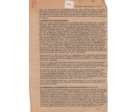
NEUENGAMME CONCENTRATION CAMP: An original carbon typed statement, unsigned, two pages, 4to, Neustadt in Holstein, 12th July 1945, in German, being a witness statement provided to a War Crimes investigator by Waldemar Holle, a former political prisoner at Neuengamme concentration camp. The document states, in part, I, Waldemar Holle, the undersigned, former political prisoner no. 239, am in a position, as a result of my having worked for nearly three years as an interpreter for the Political Section at the Neuengamme concentration camp, to give the following account of the crimes committed personally by SS Obersturmbannfuhrer Pauly, the camp commandant, which are quite apart from his general responsibility for all the horrors which were perpetrated in the camp…..As early as the end of 1943, single prisoners, and at the beginning of 1944, a whole group of some 30 Soviet Russians, were to be released, o the instructions of the Gestapo headquarters in Munich and Stuttgart…The prisoners referred to did not set out for work on the day in question and waited to receive their clothes. Suddenly, the order of release was revoked, and the prisoners due to be freed were dispatched back to work again. I received orders that the record cards which had already been made out were to be put back in the camp files…No further notice at all was taken of the fixed length of time for which they had been sent there and of the dates of release. In this way, Pauly, by acting beyond his powers, and indeed, and with far more than the familiar ruthlessness of the Gestapo, retained in the concentration camp, of his own instructions, a large number of foreigners who had been moved to Germany, and delivered the usual percentage of them to their death there. It goes without saying that the so-called ‘commanders’ reports’ to the head office of the Reich Security Service, which were prepared by him and the thenhead of the preventive detention camp, (SS Obersturmfuhrer Thumann, and his predecessor, SS Hauptsturmfuhrer Lutkemeier), were an impudent tissue of lies, ignorance and hatred, with the regularity repeated conclusion that there were objections to the release of some particular political prisoner or, at least, that it was not recommended….The German prisoner, Willi Fahrisch, who was in preventive detention, was publicly hanged on the parade ground in 1943, on a charge of having stolen from the canteen, when he was with an outside working party, a bottle of wine and 80 cigarettes. He denied this right to the last, and declared that the cigarettes and the wine had been given to him by a German civilian worker on the site. No kind of proper judicial investigations, much less any legal proceedings, were put in train…Some month previously, Fahrisch had been punished by Pauli with corporal chastisement and by being put in the P.C., for his activities against a notorious spy and informer….Fahrisch’s last words, when the noose was already round his neck – ‘so long, pals’- were interrupted by Pauly saying ‘Shut up, you swine, you shit!’ Also as a result of a proposal and pressure by Pauly, a Pole was publicly hanged, because he was said to have assisted in the theft of several white loaves from the provision store. The actual thief had already been chased across the outpost line and shot….The tragic execution of our Belgian comrade, Pierre Tolnaare, for alleged sabotage at the Jastrom motor works, must equally be attributed to instigation by the camp commandant, since the whole affair was conducted internally,….At the same time, (after the large-scale raids of Hamburg), almost every day a heavy truck, (usually with a trailer), went to Hamburg and bought back from bombed houses there, on the commandant’s orders, iron girders, cooling and heating equipment, copper and iron pipes, baths and sundry building materials which were stringently controlled ‘in the hour of Germany’s greatest need’….The furniture installed there – all selected pieces, with an abundance of carving and inlay – the cigarette cases, the gold and silver objects of high artistic value etc. etc., were the outcome od stolen materials, stolen slave – labour and stolen energy. The thief was the selfsame Obersturmbannfuhrer Pauly, who brought so many prisoners to the gallows for a bottle of wine, or a few loaves of white bread, or for some ownerless scraps of banknote paper…Presumably in recognition of his success in this sphere, SS Obersturmbannfuhrer Pauly, who had never been at the front, was – after the July air raids on Hamburg – decorated with the Iron Cross 1st Class for courage in dealing with prisoners….I am ready to swear on oath to the truth of the account given above…..’. A statement of highly thought-provoking content accompanied by a full English translation. Some very light creasing and extremely minor age wear and with a paperclip rust stain and small staple holes to the upper left corner of each page. A small white numbered sticker is neatly affixed to the centre of the upper edge of the first page. About VG