
Los 1
Two dexterity puzzles by Journet, 'Speech Day' and 'Pigs in Clover'; a harlequin set of seven cut-throat razors; two unopened promotional 'Oldham Battery' playing card packs; four (of five) stacking glass tumblers in a leather canister; an 'Acme Scout' whistle; a service issue pocket compass, dated 1918; a Dinky No.144 Volkswagen 1500, cream, good condition; two unopened packs of Tiffany & Co. playing cards; and a small number of other items (box).


![Indian Ocean. Valentyn (Francois), Tabula Indiae Orientalis et Regnorum Adjacentium, [1724-26], uncoloured map of the India](http://lot-images.atgmedia.com/SR/10729/2436985/173-20-10729_468x382.jpg)


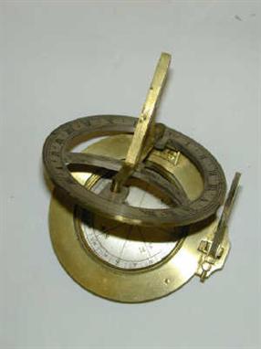


![A Bronze Sun Dial, Harris & Son, 50 Holborn, London, 19th century], circular, with engraved dial and central foliate compas](http://lot-images.atgmedia.com/SR/10041/2349218/1431-25-10041_468x382.jpg)