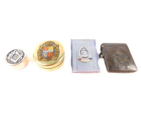
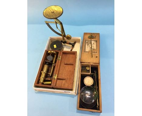
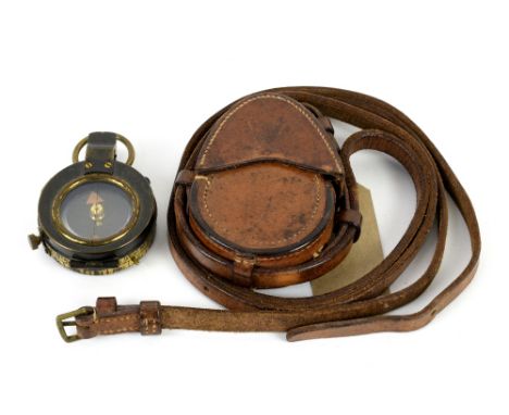
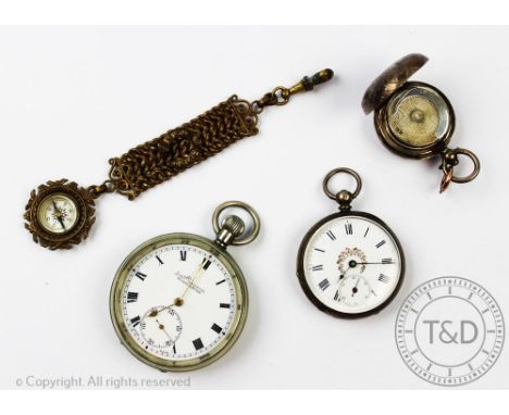
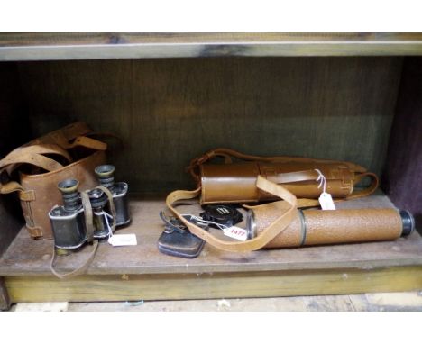
A silver sovereign case, Samuel M Levi, Chester 1911, of domed circular shape with floral scroll decoration, 3cm wide with a Victorian ladies fob watch, florally painted Roman numeral dial, 4cm wide, a H.Samuel Everite open face pocket watch and an Albert compass fob (4) CONDITION REPORT: Your attention is drawn to our important notice regarding Trevanion & Dean's sale of watches found in our Terms & Conditions, please read this prior to bidding.
36562 Preisdatenbank Los(e) gefunden, die Ihrer Suche entsprechen
36562 Lose gefunden, die zu Ihrer Suche passen. Abonnieren Sie die Preisdatenbank, um sofortigen Zugriff auf alle Dienstleistungen der Preisdatenbank zu haben.
Preisdatenbank abonnieren- Liste
- Galerie
-
36562 Los(e)/Seite
WW2 O2A Compass stamped AFT No.53281,H with Azimuth Circle No. 4 stamped 6A/890 No.20426.H, model used in Lancaster and Halifax Bombers, in original grey painted Air Ministry wooden box, internal stamp for 1944 and canvas carry handle Condition Report Click here for further images, condition, auction times & delivery costs
BRONZE SUNDIAL, by Worthington, London, the 14 inch dial with compass bearings, scales for months and days, watch faster, watch slower and Roman numerals, solid, shaped gnomon and further inscribed 'Geo. Holmes, Parke, Quebec', diameter 35.5cm Provenance: David Tom, 275 Kings Road, Chelsea from whom purchased in March 1993. Footnote: George Holmes Parke (1807-1900) was a naval shipbuilder in Quebec and was the first occupant, and therefore probably built, a property called Villa Ringfield.
A Victorian cameo brooch depicting Helios chasing the dawn, the shell cameo finely and deeply carved and representing the Greek sun god in his quadriga, drawn by galloping white horses and ascending the vault of heaven to bring light to the world, preceded by a flying putto bearing Aurora's torch and accompanied by dancing maidens, all on billowing clouds; the large oval cameo in a collet held by open scrolling quadrants with finer detailed scrolls at the compass points, yellow metal tests for gold, length 7.3cm
An Early 20th Century American Patchwork Quilt Hand stitched in polychrome printed patches and light blue diamond patches - the centre with compass star design in white running stitch. The whole, in tumbling blocks and star arrangement. Finished with scalloped edge. Purchased in Indiana Ohio, good overall condition, some slight staining/discolouration to hems, mild fraying to some patches. 83 x 94 inches.
* Compass / Jaeger Le Coultre 1930s miniature camera. Rare 1930s Compass miniature camera made by Jaeger Le Coultre in Switzerland, Serial Number 2773, excellent condition, with focussing screen back and roll film back, untested, takes 35mm film and has two optical viewfinders, one at a right-angle, three filters, an extinction meter, spirit level, rotating fitting for tripod bush in the base with five click stops allowing for panoramic and stereo pictures, shutter runs from 4½ seconds to 1/500s, together with Ensign Midget 'Model 22' miniature camera , in good condition, untested, in black soft leather case, Lumiere Eljy miniature camera , 1930s, made in France, with "Lypar" Anastigmat f/3.5 lens, complete with hard leather case.The Compass Camera was manufactured by the Swiss watch makers Le Coultre et Cie for the London company Compass Cameras Ltd. It was conceived and designed by Noel Pemberton Billing (1881-1948), a Member of Parliament and airman. The aircraft company he founded – Pemberton-Billing Ltd. – would go on to become Supermarine Aviation Works Ltd., and would manufacture, amongst other groundbreaking aircraft, the Supermarine Spitfire. The camera was launched in March 1937, and stayed in production until the early 1940s. Around 4-5000 cameras in total were made before production was prevented by war.(Qty: 6)
Collectables, silver Vesta case hallmarked Birmingham 1902 decorated with ivy leaves and bearing a central cartouche inscribed WJF, silver cased chatelaine compass hallmarked Birmingham 1894 with hanging ring, 3 seals mounted in yellow metal (one 'Elizabeth', one swivelling Maltese Cross with one stone cracked and one fist holding goblet inscribed 'To Your Health', Victorian white metal locket with buckle design to front, white metal pillbox with ribbed design (mostly gd) (7)
Loader (T. B.). T. B. Loader's Scientific and Commercial Map of England and Wales in which are delineated the canals, rail-roads & navigable rivers, the extent of the navigation of each river with the elevations of the canals, together with the geology and principal situations of mineral productions, 2nd edition, printed. W. Day, 1836, uncoloured lithographic map, sectionalised and laid on linen, large calligraphic cartouche, compass rose, table of geological references and table of geological productions peculiar to each county and a table of explanation, fourteen geological cross sections, 1355 x 1095 mm, contained in contemporary cloth slipcase with 'envelope style' lid, frayed and fadedA scarce geological map of England & Wales.(Qty: 1)
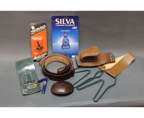
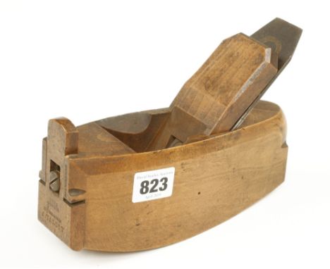
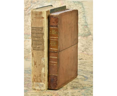
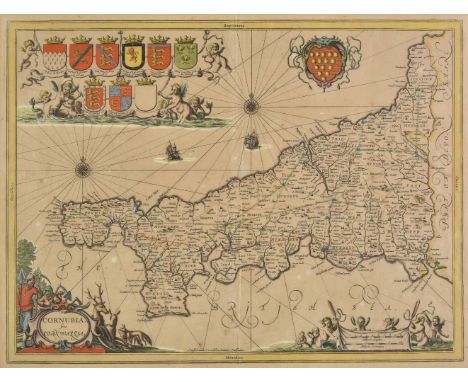
Priestley (Joseph). Historical Account of the Navigable Rivers, Canals, and Railways, of Great Britain, as a reference to Nichols, Priestley & Walker's New Map of Inland Navigation, 1831, frontispiece of an engraved map of England & Wales, folding plate at rear, some spotting and staining, publisher's quarter cloth, rebacked but retaining original spine, frayed and stained, 4to, together with Walker (John), Map of the Inland Navigation, Canals, and Rail Roads with the Situations of the various Mineral Productions throughout Great Britain, from actual surveys projected on the basis of the trigonometrical Survey made by order of The Honourable The Board of Ordnance..., published Richard Nichols, Wakefield, January 1st, 1830, very large engraved map with contemporary hand colouring, sectionalised and laid on linen, large calligraphic title and dedication, compass rose and table of explanation, inset map of Scotland, slight overall toning, marbled endpapers, 1920 x 1560 mm, contained in a contemporary calf book box, worn and rubbedPublished and intended to accompany Joseph Priestley's "Historical Account of the Navigable Rivers, Canals, and Railways, of Great Britain", The map contains a wealth of detail bringing together many aspects of the Industrial Revolution, namely the mining industry and the canal and railway networks.(Qty: 2)
* British Isles. Speed (John), Britain as it was devided in the tyme of Englishe Saxons especially during their Heptarchy, published John Sudbury & George Humble, circa 1627, hand coloured engraved map, strapwork cartouche and mileage scale, compass rose and numerous rhumb lines, fourteen historical scenes to vertical margins, 385 x 510 mm, English text on verso, framed and double glazedR.W.Shirley. Early Printed Maps of the British Isles, 1477 - 1650, 317.(Qty: 1)
East Indies. Blaeu (Johannes), India quae Orientalis dictur et Insulae adiacentes, Amsterdam, circa 1640, engraved map with contemporary hand colouring, decorative cartouche and mileage scale, compass rose and numerous rhumb lines, slight creasing to central fold, 415 x 505 mm, Latin text on verso (Qty: 1)
English Channel. De Wit (Frederick), Canalis inter Angliae et Galliae Littora / Pascaert van't Canaal tusschen Engeland en Vranckryck, Amsterdam, circa 1675, engraved sea chart with contemporary outline colouring. two decorative cartouches with titles in Latin and in Dutch, compass rose and numerous rhumb lines, 485 x 570 mm (Qty: 1)
* Wales. Speed (John), Wales, John Sudbury & George Humble, [1627], hand coloured engraved map, large compass rose and numerous rhumb lines, four inset vignettes of Bangor, St. Asaph, St. Davids and Llandaff, and twelve oval vignettes of principal towns to vertical margins, small printer's fold, 385 x 510 mm, English text on verso, mounted, framed and double glazed (rear glass cracked) (Qty: 1)
* Wales. Mercator (Gerard & Lhuyd Humphrey), Cambriae typus auctore Humfredo Lhuydo Denbigiense Cambrobritanno, [1607 - 1633], hand coloured engraved map, large strapwork cartouche, mileage scale and quarter compass rose, 350 x 490 mm, French text on verso, mounted, framed and double glazedJohn Booth. Antique maps of Wales, map no. 3.(Qty: 1)
Wales. Speed (John), Wales, John Sudbury & George Humble, [1627], hand coloured engraved map, large compass rose and numerous rhumb lines, 4 inset vignettes of Bangor, St. Asaph, St. Davids and Llandaff, and 12 oval vignettes of principal towns to vertical margins, 385 x 510 mm, English text on verso (Qty: 1)
A Masonic silver pill box, of circular form, embossed to the lid with a set square and compass, reserve F & U, together with an Edward VIII brass and enamel commemorative pill box, gun metal and enamel vesta case commemorating the Society of Miniature Rifle Clubs, and a chrome George VI Coronation commemorative match case. (4)

-
36562 Los(e)/Seite