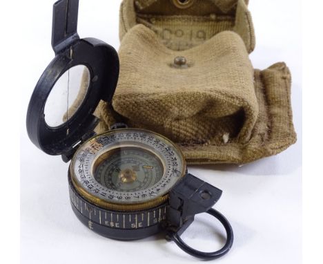
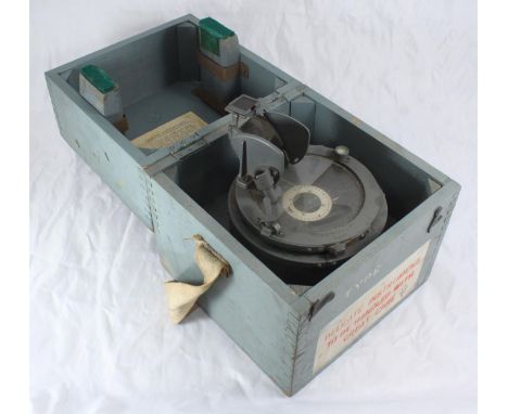
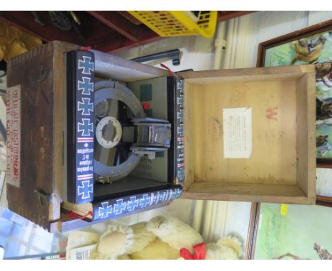
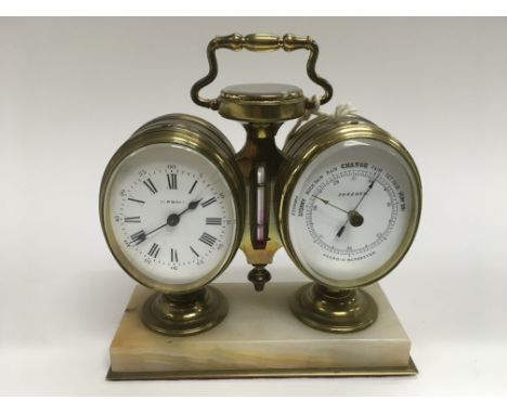
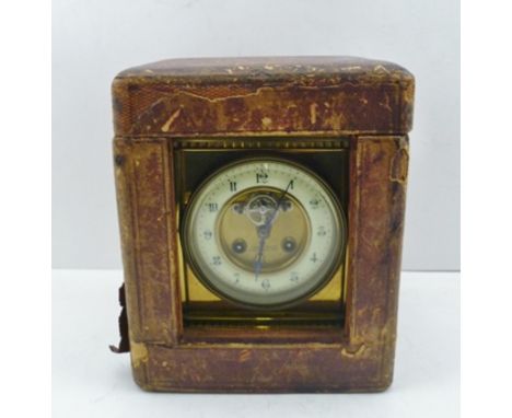
A SUBSTANTIAL BRASS FRAMED CARRIAGE CLOCK, circa 1900, the top with handle, and inset compass and thermometer, the circular dial with Arabic numerals, 8-day chiming movement with Brocot visible escapement, centre of dial bears name "Cook & Kelvey, Ca lcutta and Paris", to the base of the clock on inscription engraved "Presented to Lt. Colonel F. Leigh, V.D., Assistant Secretary, on his retirement by the Secretaries and Under Secretary to the Punjab Government", clock 19.5cm high, dial 10cm, in le ather covered outer transportation box
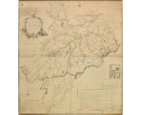
36562 Preisdatenbank Los(e) gefunden, die Ihrer Suche entsprechen
36562 Lose gefunden, die zu Ihrer Suche passen. Abonnieren Sie die Preisdatenbank, um sofortigen Zugriff auf alle Dienstleistungen der Preisdatenbank zu haben.
Preisdatenbank abonnieren- Liste
- Galerie
-
36562 Los(e)/Seite
A First World War Verner's Pattern VIII Pocket Marching Compass, the reverse stamped with broad arrow, F-L, No.89362, 1917, in stitched leather case stamped Hobson & Sons, 1914, London; another, similar, Pattern VII example, the reverse stamped with broad arrow, Cruchon & Emons, London, No.44817, 1916, the stitched leather case stamped, Pulley & Powell, and a Second World War Pocket Marching Compass Mk.III, with black enamelled brass body, the reverse stamped T.G.& Co. LTD., London, No.85238, 1939, Mk.III, in a Harvey & Co. Ltd., Walsall, stitched leather case to CAPT. H.A.PALMER, scratched 5324 (3)
A Second World War Pocket Compass by T G Co.Ltd., London, the back stamped MK.III, with broad arrow, maker's name, dated 1942 and numbered 185556; an Air Ministry 0.2.A Compass, numbered 6569, set with an Azimuth Circle No.4, 6A/O.890, the side set with AM brass plaque stamped Ref.No.6A/O.892 (2)
Monmouthshire. Greenwood (C. & H.), Map of the county of Monmouth, from an actual survey made in the years 1829 & 1830..., published August 23rd. 1830, large scale engraved map with contemporary outline colouring, sectionalised and laid on linen, calligraphic cartouche, table of explanation, compass rose and engraved vignette of Tintern Abbey, edged in green silk, slight spotting, 955 x 910 mm, marbled endpapers, contained in a contemporary calf book box, worn and rubbed (1)
*Oxfordshire. Plot (Robert), The Map of Oxfordshire, [1677], hand coloured engraved map, decorative cartouche, mileage scale, table of explanation and compass rose, old folds, small closed tears with slight loss affecting image, repaired with facsimile, one long closed tear affecting image, 500 x 480 mm, mounted, framed and glazed, together with Plot (Robert), The Natural History of Oxford-shire, being an essay toward the natural history of England, printed at the Theatre in Oxford..., 1677, decorative title, dedication to Charles II, sixteen uncoloured engraved plates, index bound at rear, bookplates of Effingham and Simon Nowell-Smith, later endpapers, 19th century half calf gilt, worn at extremities, 4to Created by the first keeper of the Ashmolean Museum of Oxford, the map is decorated with 172 coats of arms of the county's gentry, Oxford colleges, the city and the four county towns. One of the most decorative maps of Oxfordshire ever produced. (2)
*Scotland. Scobie (Mathew), A map of Roxburgh Shire of Tiviotdale, circa 1770, large scale map with contemporary outline colouring, engraved by John Bayley, on four conjoined sheets, inset map of East Point and Chivot Hill, table of remarks and a list of the principal seats, table of explanation, ornate cartouche and compass rose, slight overall toning and some dust soiling, 1050 x 950 mm, framed and glazed (1)
Shropshire. Greenwood (C. & J.), Map of the county of Salop from an actual survey made in the years 1826 & 1827, published July 2nd. 1827, large scale engraved map with contemporary hand colouring, sectionalised and laid on linen, calligraphic title, compass rose, table of explanation and a vignette of the south west prospect of Shrewsbury, inset map of part of Shropshire, slight staining and offsetting, library stamp below cartouche, edged in green silk, several library stamps to verso, library label to endpaper and inside lid of book box, 1485 x 1230 mm, contained in a contemporary green morocco gilt book box, rubbed and worn at extremities (1)
*Yorkshire. Speed (John), York Shire, published John Sudbury & George Humble, circa 1627, hand coloured engraved map, near contemporary manuscript annotation of the rivers, 385 x 510 mm, framed and glazed, together with Saxton (Christopher & Hole G.), Cestriae comitatus Romanis legionibus et coloniis olim insignis vera et absoluta descriptio, circa 1610, hand coloured engraved map, 'open book' cartouche, compass rose and mileage scale, 260 x 305 mm, framed and glazed, with Morden (Robert), The county Palatine of Chester [and] Buckinghamshire [1695 or later], two hand coloured engraved maps, some spotting to Cheshire, 350 x 415 mm and 420 x 350 mm respectively, both framed and glazed (4)

-
36562 Los(e)/Seite