36562 Preisdatenbank Los(e) gefunden, die Ihrer Suche entsprechen
36562 Lose gefunden, die zu Ihrer Suche passen. Abonnieren Sie die Preisdatenbank, um sofortigen Zugriff auf alle Dienstleistungen der Preisdatenbank zu haben.
Preisdatenbank abonnieren- Liste
- Galerie
-
36562 Los(e)/Seite


Los 192
*Cardiganshire. Speed (John), Cardigan Shyre Described with the due forme of the Shiretown as it was surveyed..., published Henry Overton, circa 1710, hand coloured engraved map, inset town plan of Cardigan, large strapwork cartouche, mileage scale and compass rose, 385 x 505 mm, mounted, framed and glazed (1)
Los 198
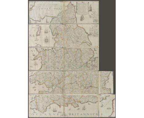
England & Wales. Lea (Philip), Untitled map taken from Christopher Saxton's large scale map of England and Wales first published in 1583, this state published Philip Lea, Globemaker at ye Atlas and Hercules in Cheapside nere the corner of Fryday Street in London, [1687 - 1700], engraved map with contemporary outline colouring on five sheets, with two additional loose sheets, bound in contemporary vellum with manuscript title 'Mappe of England' on outside of vellum and rolled presumably to facilitate ease of carriage when travelling, half compass rose, table of longitude and latitude of principal towns, some fraying to map strip margins, appears to be lacking two smaller portions (East coast of Norfolk & Suffolk and South West Cornwall), each sheet approximately 285 x 855 mm, two loose sheets approximately 280 x 200 mm R.W.SHirley. Early Printed Maps of the British Isles 1477 - 1650, no.137, state 5. Christopher Saxton published his twenty sheet wall map in 1583. It was re-issued by Cade & Morgan in 1678. Philip Lea aquired the copper plates in about 1685 and re-published the map on a smaller scale designed to be used as a travelling map. He reduced the map to ten full sheets and four half sheets and removed a great deal of the sea, thus making the map relevant to land based travellers. The map was pasted into five horizontal strips. The top three sheets made up of two sheets and the last two sheets made of two sheets with a half sheet pasted at each end. It appears that two of these half sheets are lacking from this example. Philip Lea re-engraved the plates at least five times during his perod of ownership. This example is his 5th and final state and therefore state 7 of a total of nine states. Lea moved from Poultry to Cheapside in 1687 and remained there until 1700. Following Lea's death, Anne his widow, re-engraved and re-issued the map with Richard Glynne in 1720 and Thomas & John Bowles & Son repeated this in 1758. Scarce. (1)
Los 210
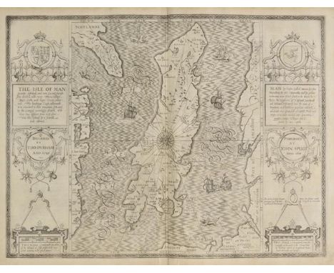
Isle of Man. Speed (John), The Isle of Man exactly described and into Several Parishshes divided and with every Towne, Village, Baye, Creke and River therein conteyned. The bordringe Coasts wherewith is circulated in their situations sett and by the Compase accordigly shewed, with their true distance from every place into this Island by a severall scale observed, published Roger Rea, circa 1662, uncoloured engraved map, two large strapwork cartouches, compass rose and numerous rhumb lines, occasional small marginal closed tears not affecting image, small library blind stamp in margin, 385 x 510 mm, English text on verso (1)
Los 228
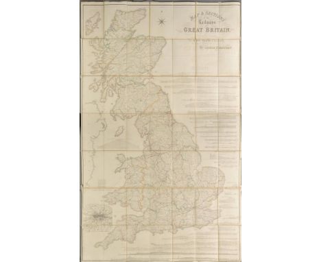
Railway map. Bradshaw (George), Map & Sections of the Railways of Great Britain. Dedicated by Permission to James Walker F.R.S. L & E, President of the Institution of Civil Engineers, published Manchester, G.Bradshaw, 1839, large engraved map of the British Isles by J.Dower, contemporary outline colouring, sectionalised and laid on linen, inset map of London, calligraphic cartouche, compass rose and thirty-three sectional profiles of the various railways of the British Isles, some off setting to cartouche, 1630 x 1020 mm, marbled endpapers, with the Tables of the Gradients to Bradshaw's Map of the Railways of Great Britain, Containing Particulars of Lengths, Levels and Gradients of all the Principal Railways in the Kingdon, 1839, contemporary blindstamped morocco boards with gilt title to upper siding, remains of old linen ties, rubbed and worn The first complete railway map. (1)
Los 101
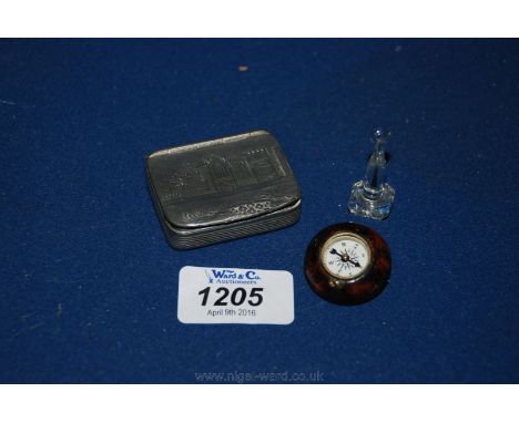
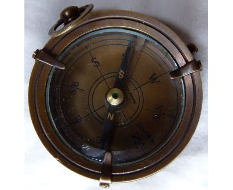
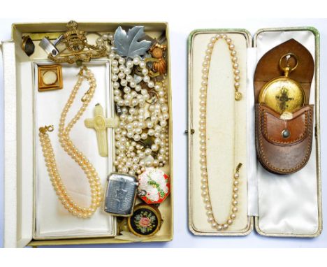
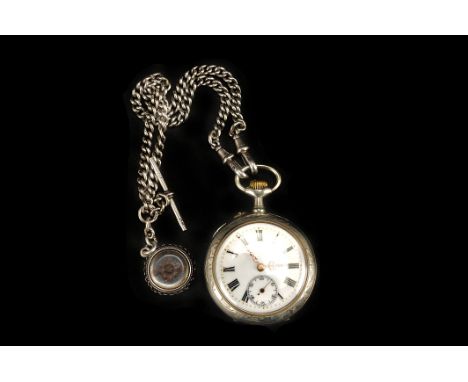
A late 19th century Continental white metal open faced pocket watch, the reverse of the case chased with stylised flowers, the white enamel dial with black Roman numerals, gold Louis XVI hands, and subsidiary seconds dial, keyless wound bar cylinder movement, 44mm diameter, on a silver curb link chain with compass fob


-
36562 Los(e)/Seite