36562 Preisdatenbank Los(e) gefunden, die Ihrer Suche entsprechen
36562 Lose gefunden, die zu Ihrer Suche passen. Abonnieren Sie die Preisdatenbank, um sofortigen Zugriff auf alle Dienstleistungen der Preisdatenbank zu haben.
Preisdatenbank abonnieren- Liste
- Galerie
-
36562 Los(e)/Seite

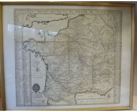


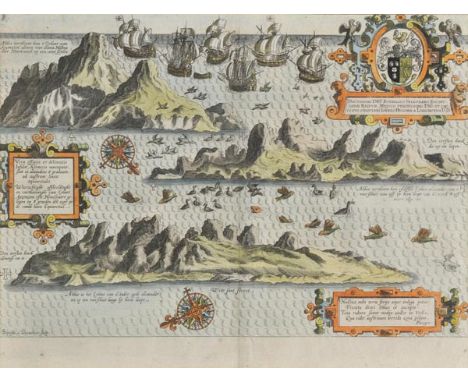
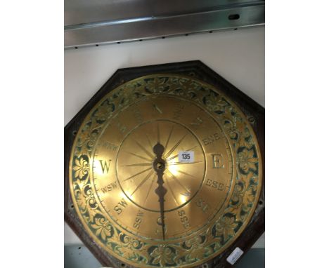
Los 82
*Ascension Island. Van Linschoten (Jan Huygen), Vera effigies et delineatio Insulae Ascenscio nuncupatae sitae in altitudine 8 graduum ad austrum lineae aequinoctialis, published Amsterdam, circa 1596, hand coloured panorama showing the island in three profile views, engraved by Baptista a Doetechum, compass rose, strapwork cartouche with two secondary cartouches with text in Dutch and Latin, 235 x 340 mm, mounted, framed and glazed Originally published in 'Itinerario'. (1)
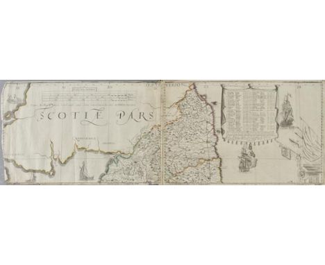
Los 108
England & Wales. Lea (Philip), Untitled map taken from Christopher Saxton's large scale map of England and Wales first published in 1583, this state published Philip Lea, Globemaker at ye Atlas and Hercules in Cheapside nere the corner of Fryday Street in London, [1687 - 1700], engraved map with contemporary outline colouring on five sheets, with two additional loose sheets, bound in contemporary vellum with manuscript title 'Mappe of England' on outside of vellum and rolled presumably to facilitate ease of carriage when travelling, half compass rose, table of longitude and latitude of principal towns, some fraying to map strip margins, appears to be lacking two smaller portions (East coast of Norfolk & Suffolk and South West Cornwall), each sheet approximately 285 x 855 mm, two loose sheets approximately 280 x 200 mm R.W.SHirley. Early Printed Maps of the British Isles 1477 - 1650, no.137, state 5. Christopher Saxton published his twenty sheet wall map in 1583. It was re-issued by Cade & Morgan in 1678. Philip Lea aquired the copper plates in about 1685 and re-published the map on a smaller scale designed to be used as a travelling map. He reduced the map to ten full sheets and four half sheets and removed a great deal of the sea, thus making the map relevant to land based travellers. The map was pasted into five horizontal strips. The top three sheets made up of two sheets and the last two sheets made of two sheets with a half sheet pasted at each end. It appears that two of these half sheets are lacking from this example. Philip Lea re-engraved the plates at least five times during his perod of ownership. This example is his 5th and final state and therefore state 7 of a total of nine states. Lea moved from Poultry to Cheapside in 1687 and remained there until 1700. Following Lea's death, Anne his widow, re-engraved and re-issued the map with Richard Glynne in 1720 and Thomas & John Bowles & Son repeated this in 1758. Scarce. (1)
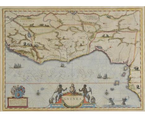
Los 117
*Guinea. Blaeu (Willem J. Z.), Guinea, circa 1645, engraved map of West Africa with contemporary hand colouring, decorative cartouche and mileage scale, compass rose and numerous rhumb lines, one short crack along oxidised old colouring, 385 x 530 mm, Latin text on verso, mounted, framed and double glazed (1)
Los 167
South America. Jansson (Jan), Guiana sive Amazonum Regio, circo 1645, uncoloured engraved map of part of North-east South America showing Trinidad and modern day Guyana, Suriname and French Guiana as well as the course of the River Amazon, elaborate cartouche and separate scale of distance, compass rose and rhumb lines, 380 x 495 mm, Latin text on verso, together with, Blaeu (William), Paraguay, O Prov. De Rio de la Plata cum regionibus adiacentibus Tucuman et Sta. Cruz de la Sienna, published Amsterdam, circa 1650, engraved map with contemporary outline colouring, ornate cartouche and central compass rose, 380 x 485 mm, Latin text on verso (2)
Los 186
World. Bellin (Jacques Nicolas), Versuch von Einer Kurzgefassten Karte Welche die Bekannten Theile der Erdkugel, 1748, uncoloured engraved map of the world on a Mercator projection, elaborate cartouche, compass rose and numerous rhumb lines, restoration of upper margin causing partial loss to printed border, 500 x 700 mm, together with Rucelli (Girolomo), Carta Marina Nuova Tavola, [c.1561], uncoloured engraved map of the world on a Mercator projection, numerous rhumb lines, some worming to central fold with restoration on verso, Latin text on verso, 190 x 260 mm, with Brue (Adrien Hubert), Carte de L'Oceanie ou Cinquieme Partie du Monde, 1820, engraved map with original outline colouring, showing Australasia, South-east Asia and the western Pacific ocean, calligraphic cartouche, slight off setting, unobtrusive blind stamp to upper left corner, 380 x 520 mm (3)


Los 223
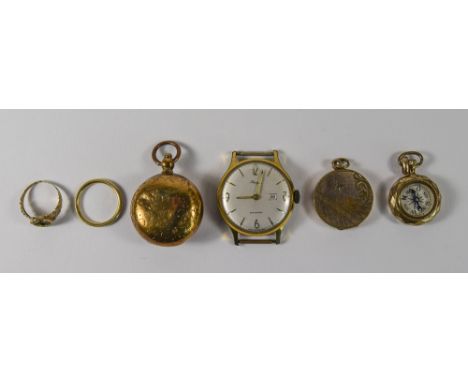
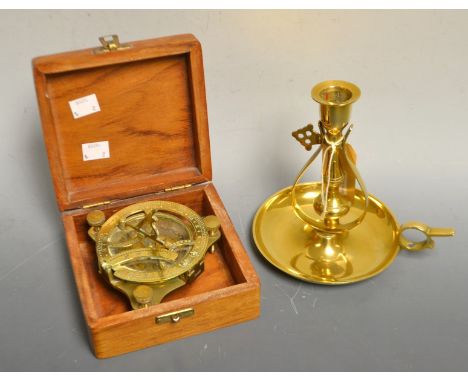
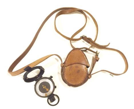
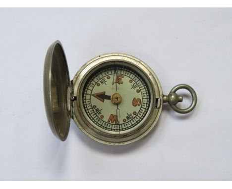
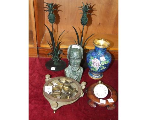
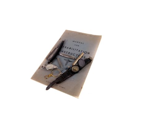
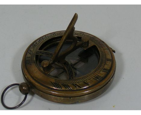
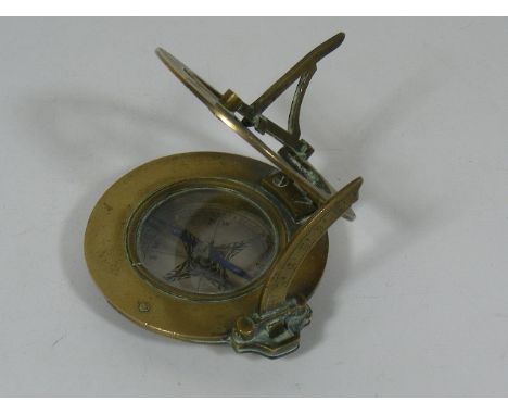
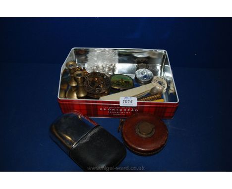
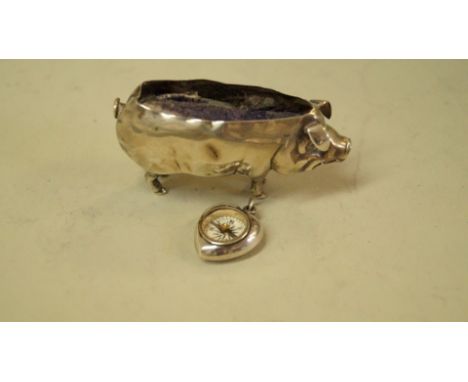
An 18th Century cut glass and white metal mounted seal, together with four further seals, a carved netsuke in the form of an octopus bearing signature button to base, a hardstone mounted compass in the form of a book and a bronze figure of a young girl carrying books, together with a gold plated pendant frame CONDITION REPORTS The cut glass white metal seal has some nibbles to the top, the bone seal has chips to the top and an areas of possible burning along one side, the bronze seal is at an angle, the stone seal's hook has been broken and repaired, the seal itself has fractures on the stone. The pendant mount is coming away at one side and appears to have been repaired. All items have wear and tear. The glass and white metal seal is approx 6cm high. The bone and white metal seal is approx 5.5cm high. Bronze seal of man approx 6.5cm high. Brass lion head seal approx 4.5cm high. Brass seal approx 2.5cm. Stone seal approx 3.5cm high.
-
36562 Los(e)/Seite