Dominic Winter Auctions
Los 98
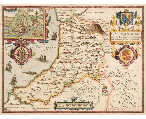
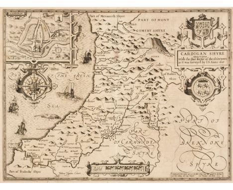
Cardiganshire. Speed (John), Cardiganshire Described with the due forme of the Shire Town as it was surveyed by J. S. Anno 1610, 1st edition, John Sudbury & George Humble [1611], uncoloured engraved map, inset town plan of Cardigan, large strapwork cartouche and compass rose, slight text show through, very slight staining to the central fold, 385 x 510 mm, English text on verso, together with Blaeu (Johannes). Ceretica sive Cardiganensis comitatus Anglis Cardiganshire, Amsterdam, circa 1645, engraved map with contemporary outline colouring, 385 x 500 mm, Dutch text on verso, with Saxton (Christopher & Kip William). Cardigan comitatus pars olim Dimetarum [1637], hand-coloured engraved map, large strapwork cartouche and mileage scale, 265 x 320 mm,Qty: (3)