We found 12130 price guide item(s) matching your search

Refine your search

Year

Filter by Price Range
  • List
  • Grid
  • 12130 item(s)
    /page

Lot 358

A small collection of maps to include Ordnance Survey maps of Minehead (1946), London S.W (1948), Dorchester (1960), Exeter (1946), a Geographia Ltd. map of Cornwall, Bartholemew's World Layered Series Map of Central & East Africa, and Daily Mail Motor Road Map of London and 10 Miles Around, with one other (8)

Lot 1280

A collection of 21 vintage British tourist and cycling maps. To include Bartholomew's, Bacon's and Ordnance survey maps. Including: Dorset, Bath & Bristol, New Forest, Surrey, Exmoor, Barnstaple and Shropshire.

Lot 317

A .577" Enfield 3 band percussion rifle, barrel 39" with ordnance proofs and government sale mark (worn), the lock stamped with crowned “VR” and “1858 Tower” (worn), walnut fullstock with government sale mark on the butt, regulation brass mounts, the butt plate tang stamped “51” and “1633”, with sling swivels, solid barrel bands, and correct steel ramrod. GWO & C (slightly worn, lock and barrel polished). £400-500

Lot 84

A French 6 shot 12mm St Etienne 1858 Naval pattern single action pinfire revolver, no visible number, round barrel with octagonal breech 156mm (6-1/8”), the right side of the breech dated “S 1864”, the left side with various ordnance inspectors’ marks and initials, with ejector rod, plain walnut grips, and lanyard ring. Good Working Order and Condition (slightly worn overall with some pitting around the breech) Plate 20 £500-600

Lot 262

Various books, Smith (Keith), Silversmithing A Manual of Design and Techniques, Wine According to Ralph Stead, various other books, Saleroom Catalogue, Photographs, Bloomsbury, Dreweatts Wednesday 19th May 2010, Thirsty Work, Heineken Advertising and various Ordnance Survey maps, etc. (a quantity)

Lot 531

86th AGRA Workshops REME (Tyne Electrical Engineers) cloth formation sign.White crest of the Board of Ordnance embroidered on black square. Removed from uniform. GC

Lot 100

A Board of Ordnance military percussion musket, 1842 pattern, barrel length 100cm, smooth bore calibre, 0.75" (8mm), correct government markings throughout, lock marked crown over VR tower 1849

Lot 1330

A LARGE COLLECTION OF ORDNANCE SURVEY MAPS AND FURTHER BOOKS

Lot 1498

A LARGE QUANTITY OF ORDNANCE SURVEY MAPS AND A VINTAGE DAHLE 222 PENCIL SHARPENER

Lot 1509

BOOKS.  EX-OLIVER COLLECTION  A GOOD MIXED SELECTION TO INCLUDE ART, HOROLOGY, HISTORY, CONNOISSEUR, MISCELLANEOUS - ORDNANCE SURVEY MAPS, ETC.  

Lot 243

TWO BOXES OF ORDNANCE SURVEY MAPS

Lot 362

Militaria, 22 metal badges to include Royal Regt. Fusiliers, The King's Own, Ox and Bucks collar badges, The Queen's Army Ordnance Corps, The Royal Scots, Dorsetshire Regt, Cameron Highlanders, Army Foundation College etc. (gd)(22)

Lot 242

Collection of ephemera, to include a Cats programme, Ordnance Survey maps, stamp album, cigarette cards, WW2 booklets, matchbox covers, etc

Lot 477

An assortment of cap badges and title, to include a selection of Army Service Corps, including a two piece example, RASC, Naval, HAC, Royal Army Ordnance Corps and more (approx 60 pieces)

Lot 691

An early 19th Century Victorian presentation sword, Presented by the Officers of the Third Troop of Warwickshire Yeomanry Cavalry to George Knight as the best Swordsman in the 2nd Class 1843', with pipe back with etched blade, with Royal cypher and harvesting equipment, blade made by 'Reeves Greaves Reeves of Birmingham, manufacturers to her Majesty's Honourable Board of Ordnance and the Honourable East India Company', complete with steel scabbard with chain link hanger

Lot 722

A large collection of British road maps, mainly Scottish, various ages and conditions, many Ordnance Survey One Inch

Lot 406

A box of Ordnance Survey books and other booklets

Lot 253

ORDNANCE SURVEY MAP ETC

Lot 921

A framed section of ordnance survey map showing Axminster, Musbury, Colyton, Seaton etc.

Lot 15

Ordnance Survey Map of the Isle of Wright (in colour), engraved by Benjamin Baker, 1856, 67 x 96cmW (foxing) (part of the Wm Watson Collection)

Lot 4

Ordnance Survey Map of Phoenix Park and Dublin dated 1912 (1925 re-print), 72 x 103cmW (foxing at edges) (part of the Wm Watson Collection)

Lot 118

NO RESERVE Atlases.- Reynolds (James) Reynolds's Geological Atlas of Great Britain, frontispiece vignette showing the mountains and hills of England and Wales, title, and 33 double-page lithographed maps with hand-colouring outlining geological structure of each county, some minor spotting and surface dirt, later cloth boards, [circa 1890]; together with another copy of the same, some leaves loose and only 32 maps (of 33), and four others, including Edward Stanford's The Oarsman's and Angler's Map of the River Thames, 1909, a folding cycle touring map of the environs of London, a 1910 Ordnance Survey map of Kent, and an incomplete copy of Benjamin Pitts Capper's 'A Topographical Dictionary of the United Kingdom', 1825 (6)

Lot 131

*** Please note, the description of this lot has changed ***British Isles.- Bacon (George W., publisher) New Large Scale Ordnance Atlas of the British Isles..., 104 hand-coloured double-page lithographed maps, mounted on stubs, occasional spotting and minor browning, re-backed, modern half morocco, g.e., losses to inside marbled papers, minor rubbing, 4to, [c. 1883].*** Including regional and geological maps of Britain and Ireland, plans of towns and ports, a railway map of London and its suburbs, and a map of the Lakes of Killarney.

Lot 139

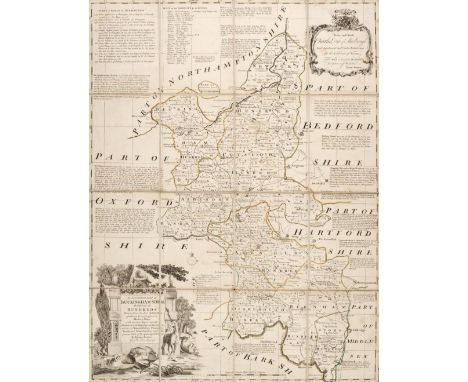
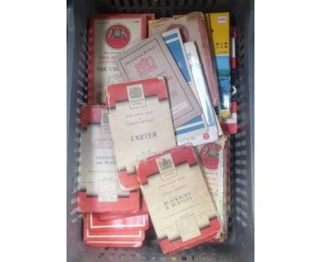
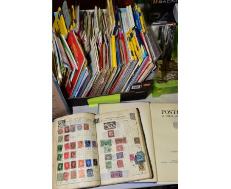
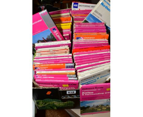
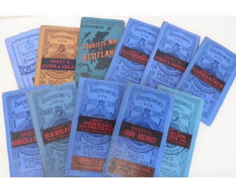
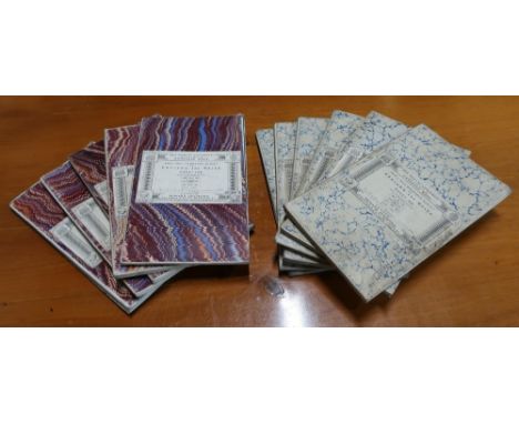
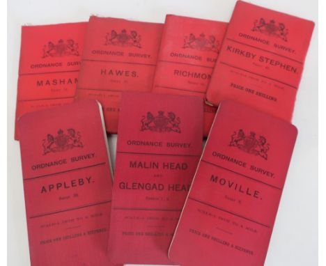
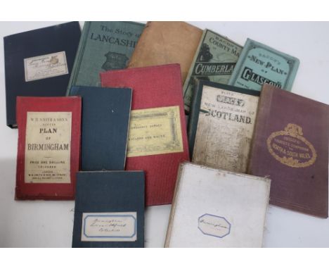
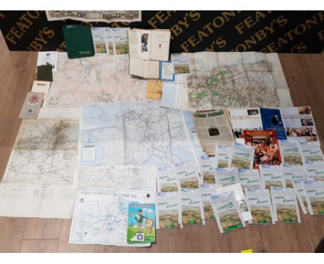
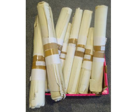
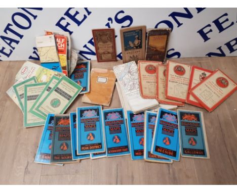
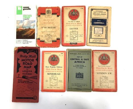
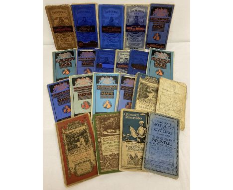
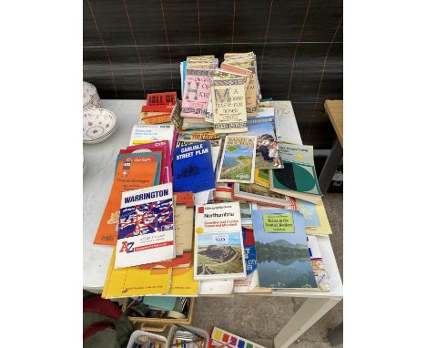
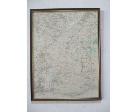
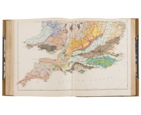
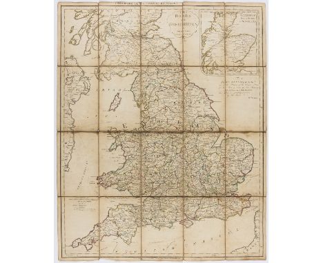
England & Wales.- Faden (William) The Roads of Great Britain, second edition, engraved map with outline hand-colouring, 750 x 610 mm (29 1/2 x 24 in), dissected and mounted on linen, some spotting and browning, folding into slipcase, printed label to upper cover, very worn, 8vo, 1790; together with Cary's Pocket Companion to the Roads of Great Britain, 1791, and 17 further folding maps of English counties, including J. & C. Walker's 'Sussex', John Cary's 'New Map of Durham', Stanford's 'Country Round Churt', and ordnance survey maps covering Hereford, Derbyshire, Bicester, Suffolk, Essex, and Kent, among others, various sizes, 8vo and 4to, mainly 19th century (19)
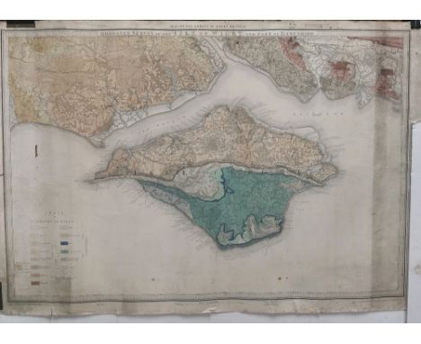
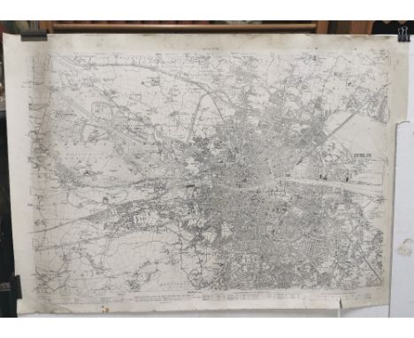
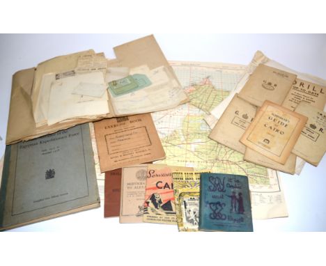
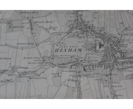
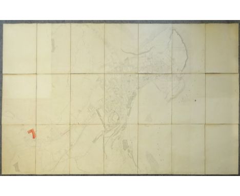
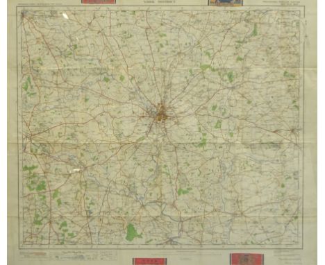
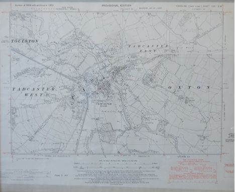
Lot 146

NO RESERVE East Midlands.- Colby (Lt. Col. Thomas) [Six Ordnance survey maps covering the environs of Lincoln and Rutland], including sheets LXIV, LXIX, LXXXIII, LXXXIV, LXXXV, and LXXXVI, engravings, each approx. 650 x 950 mm. (25 1/2 x 37 1/2 in), dissected and mounted on linen, neatly edged with blue linen, occasional surface dirt and light browning, all folding into contemporary gilt-tooled and lettered book-style calf slipcase, rubbed, worn, large 4to, 1824.

Lot 173

***Please note, the description of this lot has changedLondon.- Bacon (George W.) New Large-Scale Ordnance Atlas of London & Suburbs with Supplementary Maps..., title, contents, two index maps, one for nine-inch scale and the other four-inch scale maps, with 34 double-page maps at nine-inch scale, 25 double-page maps at four-inch scale, four double-page maps of the environs of London, and 10 further supplementary maps, lithographs with some hand-colouring, each approx. 350 x 525 mm. (13 3/4 x 20 3/4 in), occasional finger-soiling, surface dirt and minor browning, a few maps with splitting to folds, numerous tears and loss to text leaves, rebound in blue cloth, boards now completely detached, worn, folio, 1886.

Lot 71

Holy Land.- Wilson (Capt. Charles) Ordnance Survey of Jerusalem, lithograph, 1170 x 780 mm (46 x 30 3/4 in), dissected and mounted on linen, folding with publisher's printed endpapers, even toning and minor surface dirt, contemporary slipcase with printed label to upper cover, rubbed and worn, 8vo, 1864-65; together with two folding maps of Palestine, including Rappard's 'Karte von Palastina', Berlin 1868, and J.F. Assheton's 'Topographisch-Historiche Charte von Palestina', both folding without slipcases, worn, 8vo, [19th century] (3)

Lot 72

NO RESERVE Hong Kong.- War Office (The, Geographical Section) Hong Kong and the New Territories, third edition, Ordnance Survey map, lithograph printed in colours, on thin wove paper, sheet 720 x 100 mm (28 1/4 x 39 1/4 in), old folds, some with splits and small losses, minor nicks to edges, handling creases, surface dirt, spotting and browning, unframed, 1949.

Lot 17

Folding maps. A mixed collection of 25 maps, 18th - 20th century, engraved and lithographic foreign maps, British county maps, regional maps and town plans, including examples by Reynolds, Ordnance Survey, 'Geographia', Bacon, Waterlow and Son, Kelly, Sworder and Emanuel Bowen, various sizes and conditionQty: (25)

Lot 424

ANTON MAUVE (1838-1888); watercolour, shepherd with sheep, a 19th century oil on canvas of a country lane, initialled CM, two prints, a painted porcelain tile, an Ordnance Survey map of Lancashire and two other pictures (8).

Lot 81

CARTON OR ORDNANCE SURVEY MAPS

Lot 294

SELECTION OF ORDNANCE SURVEY MAPS

Lot 94

A collection of paper ephemera with WW2 military and social history interest relating to the Royal Signals and 12th Fusiliers in the Middle East, to include Army service booklets, a Blankets and Reporting In Booklet, Movement Control papers, Anticholera inoculation slip, a Christmas card 'Christmas Greetings 1946 Middle East Land Forces', annotations made by the soldier on films the troops watched, the 'Middle East Annual Athletic Championships 1947 Programme', a humorously annotated 1945 Base and Ordnance Depot Christmas menu, for example the starter 'soup (dish water)', sketch of a private room, several Middle Eastern maps and various other clippings, cuttings and papers (quantity)

Lot 747

A box of various Ordnance survey maps etc.

Lot 784

A plastic tub of Ordnance survey maps

Lot 500

A COLLECTION OF MAPS, GUIDES, STAMPS AND POSTCARDS/PHOTOGRAPHS, the maps mainly of regions in Britain and France (ordnance Survey, Michelin, AA, etc) the stamps, in a 'Wanderer' stamp album are mainly World stamps, the small number of postcards/photographs are mainly from Britain and France, there is also a book entitled Poster & Their Designers

Lot 518

A COLLECTION OF EIGHTY ORDNANCE SURVEY MAPS of Regions in the British Isles

Lot 143

Bartholomew's Reduced Ordnance Survey Maps For Tourists And Cyclists, folding linen backed, Tourist's Map Of Scotland, 4 miles to the inch road map of England And Wales, various sheets (27)

Lot 144

Ordnance survey 1 inch to 1 mile folding linen backed maps, Carndonagh Limavady, Londonderry, Cockermouth, and sheet 42 Wales in white covers, with marbled covers, sheet 146, 93, 129, 130 and 145, white marbled covers sheet 60, 299, 68, 76, 75, and 67

Lot 146

Ordnance Survey 1 inch To 1 mile folding linen backed maps, with red covers, at Malinghead and Glengad Head Moville, Appleby, Kirkby Stephen, Richmond, Haws and Masham

Lot 147

Bacon's County Map of Cumberland, similar new plan of Glasgow, The Story Of Lancashire by Pitman, The English Lakes by Baddeley, Blacks new large linen backed folding map of Scotland, sheet 5, Philip's Tourist's Companion To North And South Wales, 19th C Ordnance Survey Of England And Wales, Cambridge, Ordnance Survey map of Lewis Beard Icarsgarth, Blackburn and Ordnance Survey map of Birmingham and Surrounds cut into sections

Lot 444

A box of approx ninety Ordnance Survey maps including Explorer, Landranger and Outdoor Leisure editions

Lot 1375

A Polished Stone Egg with Fossils, Japanese Cork Diorama, postcards, brass trivet, 1950's propelling pencil by Langley, RAF buttons and polishing shield, thrift box, Ordnance Survey map, coins, St Bruno, tin.

Lot 1062

A British army Green Jackets mace bearing electroplate mounts, the ebonized shaft bearing the manufacturer's details and Ordnance broad arrow mark, 98 cm

Lot 329

Military and other leather accoutrements including a Sam Browne revolver holster, gaiters, an Ordnance stamped and 1917 dated camera case etc

Lot 350

A Great War 1915 dated and Ordnance stamped brass pot

Lot 504

An early 20th Century Ordnance Survey map of Northumberland

Lot 164

A LARGE QUANTITY OF VINTAGE ORDNANCE SURVEY MAPS OF THE BRITISH ISLES, COUNTRYSIDE ETC PLUS 2 HARDBACK BOOKS THE SONG OF HIAWATHA BY FAMOUS AUTHOR H.W.LONGFELLOW ETC

Lot 157

Marlborough, John Churchill, First Duke of Warrant signed ("Marlborough"), as Master General of the appointing William Weatherhead a Labourer in Ordinary in Her Majesty's stores at £26 per annum, in place of the late William Waterman, directed to Thomas Erle, Lieutenant General of HM Ordnance and the rest of the principal officers; counter-signed by his secretary and political ally, James Craggs the Elder, with Marlborough's papered armorial seal at the head, one page, folio, integral leaf removed, some browning and dust-staining, upper half laid down with associated tears, Office of Ordnance [Tower of London], 22 January 1707/8Footnote: Note: Signed while Marlborough was in London, outfacing the threat posed by Robert Harley who was attempting to replace Marlborough's ally Godolphin, and while preparing to counter a possible Jacobite invasion from Dunkirk.

Lot 796

Great Britain 1991(Sept 17)-Maps Set, Ordnance Survey Alt, Westminster SW1 H/S Stamp BFDC9-official FDC

Lot 335

TWO BOXES AND LOOSE MISCELLANEOUS ITEMS, to include Opthalmic eye testing machine, books, Opthalamic interest, miscellaneous EPNS and metalware, clocks, stainless steel platter, Ordnance Survey maps, etc (two boxes)

Lot 338

THREE BOXES AND LOOSE OF MISCELLANEOUS ITEMS, including books, Ordnance Survey maps, treen, table lamps, etc

Lot 48

A selection of maps and ordnance survey guides including AA day drives collection Includes: eastbournee, new frorest, oxford, Galloway, bucks, cambridge, Wharfeate, peak districk, salisbury, surrey, suffolk, solway, blackburn, selkirk, aldershot, coventry, northampton plus more  

Lot 300

Large Victorian Ordnance Survey map of Scarborough surveyed 1850, pub. 1852, comprising twenty-one 64cm x 44cm sheets joined on three lengths of linen, overall 192cm x 308cm - Condition Report

Lot 301

Large quantity of Ordnance Survey maps of North Yorkshire, c.1940s-1960s, including Scarborough, Seamer, Ayton, Driffield, Whitby, Robin Hood's Bay, Scalby, Pickering, approx 200 - Condition Report

Lot 302

York District Ordnance Survey early 'Motoring' map pub. 1919, 65cm x 76cm - Condition Report

Lot 307

Ordnance Survey map of Tadcaster pub. Chessington 1953, provisional edition 42cm x 52cm - Condition Report

Lot 1329

A box of Ordnance Survey and other folding maps, Ward Lock guides etc.

Lot 211

ORDNANCE SURVEY MAPS OF THE BRITISH ISLES SOME BY BARTHOLOMEW'S

Lot 339

A Pair Of 32-Bore Flintlock Silver-Mounted Turn-Off PistolsBy W. Birkell, London, Circa 1745, London Hallmarks And Maker's Mark JAWith cannon barrels, one an old replacement and of 25-bore, breeches each engraved 'London' (refreshed) and with a band of foliage at the rear, and signed beneath the chiselled steel-springs, shaped border engraved tangs each decorated with foliage, border engraved actions (cocks and retaining screws replaced), sliding trigger-guard safety-catches each engraved with an expanded flower-head on the bow, figured rounded butts (old splits at each tang, one repaired at the rear of the action) each carved with a shell behind the barrel tang, cast and chased mounts comprising pierced foliate side-plates, foliate escutcheons each engraved with owner's initials 'MB', and grotesque mask butt caps each with foliate border, London proof marks and Birkell's barrelsmith's mark (2)11.5 cm. barrelsFootnotes:William Birkell was apprenticed to Charles Dymond in 1740 and free of the Gunmakers' Company in 1726. He was contractor to Ordnance between 1742 and 1749, and was elected Master of the Gunmakers' Company in 1748For further information on this lot please visit Bonhams.com

Loading...Loading...
  • 12130 item(s)
    /page

Recently Viewed Lots