We found 12130 price guide item(s) matching your search
There are 12130 lots that match your search criteria. Subscribe now to get instant access to the full price guide service.
Click here to subscribe- List
- Grid
-
12130 item(s)/page

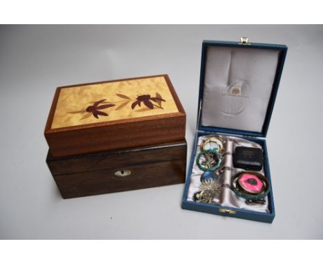
Lot 3669
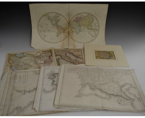
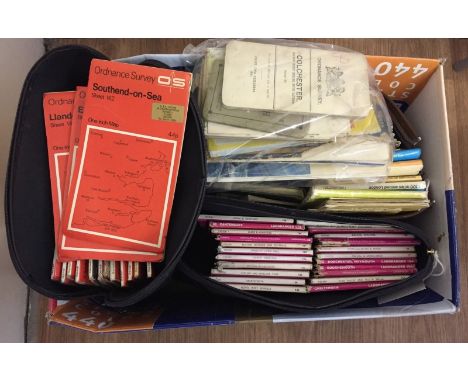
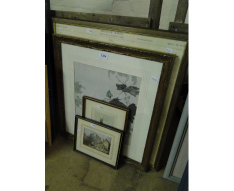
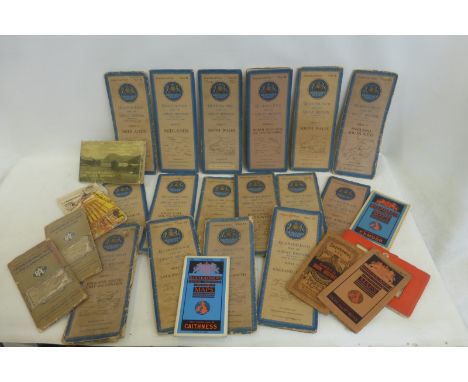
Maps - E. Borne (early 19th century), The World from the Discoveries & Observations made in the Latest Voyages & Travels, Published by Hamilton, Adams & Co., London [c. 1810], two-fold map, hand-coloured engraving, 33cm x 52cm; Ordnance Survey Maps - Northumberland - Morpeth, Tynemouth, Bellingham, Brampton, Rothbury, Norham, Frome, Durham, Hexham, Elsdon, [c. 1900] four-fold, 45.5cm x 61.5cm (10); early 19th century two-fold maps of Continental countries, monochrome engravings; others, late 17th century and later, including United Kingdom, Russia, Holy Land; qty


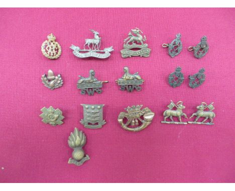
Lot 84
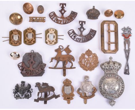
Selection of British Military Badges and Buttons, including a Victorian Military cheek boss, 3 x TY City of London badges, a RAOC shoulder title, RAF badge, The queens, The Royal Sussex Regiment, 3 x The Royal Army Ordnance Corps collar badges and 1 x badge, a general service cap badge and a belt buckle, plus others (23 items)

Lot 3180
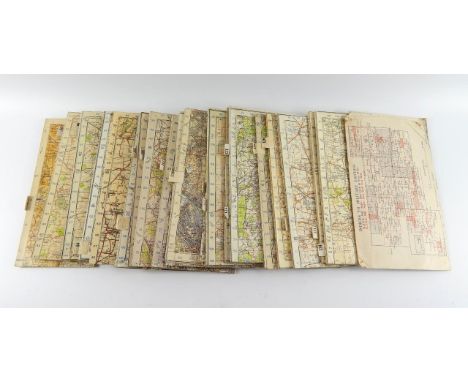
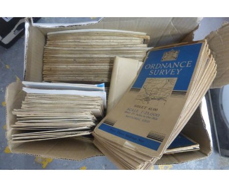
WW1 & WW2 Paperwork collection comprising of: "The game of ARP" Board game (no tokens), three 1915 British Army maps of Gallipoli and a 1916 edition of the Daily Sketch Newspaper covering Zeppelin raids on England, two WW2 British scrapbooks and four WW2 British Ordnance Survey Maps (East Anglia, Northants, North Central, The Borders) and a collection of sixteen HMSO booklets on various Campaigns of the War inc. "By Air to Battle" the official account of the British Airborne Divisions.
Lot 768
AFTER ROBERT MORDEN; two 18th century hand coloured maps of Cumberland and the County Palatine of Lancaster, both hand coloured, plus a further map of Cumbria and a Bowles's map of Cumberland and Westmorland, and a map of the south part of Scotland and The Lake of Derwent, all six framed and glazed, two unframed maps and a small collection of ordnance survey maps and two Bartholomew's maps of the Lake District.

Lot 193
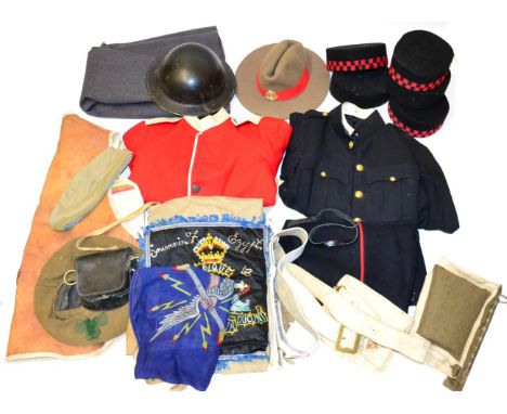
A Quantity of Uniform Parts, including a Gurkha Military Police slouch hat, three pill box hats to the 2nd Gurkha Rifles, two other pill box hats, a Brodie helmet, helmet covers, a Welsh Guards cape, a No.1 service tunic to the South African Ordnance Corps, two buff belts and a pouch, leg guards, a War Relief leather jerkin, a pre-First World War British Infantry scarlet tunic and blue trousers etc
Lot 304
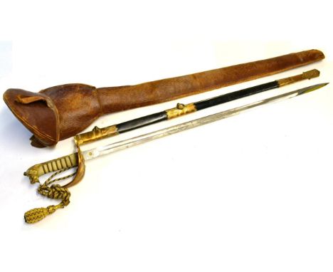
An Edward VIII Royal Navy Officer's Sword, the 79.5 cm blade with single part fuller, etched with Royal cypher, coat of arms and crowned, fouled anchor amongst rope-framed branches, also bearing maker's name, ''Gieves'', the brass gothic hilt with folding guard, named to G.E. Baker, R.N., cast with crowned fouled anchor, lion's head pommel with extended mane, wire bound fishskin grip, gilt thread bullion knot, brass-mounted black leather scabbard with twin ring suspension, leather outer case bearing owner's initials Footnote: Geoffrey Ellis Barker, recorded as Cadet, sen. 1st January 1934; Midshipman (E), sen. 1st January 1935; Lieutenant (E), sen. 1st June 1938; Commander (E), D.S.C. sen. 31st December 1949; at Admiralty from 22nd May 1950 - Naval Ordnance Department - and from 16th February 1959 - Director-General Weapons; recorded Navy List 1975 working on Mercury II (signal and radar) project; Retired and Emergency List from 1975Sword and scabbard overall good condition. Leather outer case somewhat rubbed and with broken strap.
Lot 99
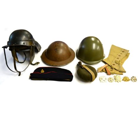
A Collection of Militaria, comprising a Second World War Brodie helmet, painted brown, indistinctly stamped and dated (?1938) to the brim, webbing chinstrap; a reproduction Cromwellian lobster tail helmet; a reproduction American Second World War helmet, with leather liner; a forage cap, to the Royal Army Ordnance Corps, with brass badge and buttons; an aluminium military water canteen, screw top, stamped Int/42 and further stamped SA, fabric cover, leather strap and a pair of reproduction military gaiters
Lot 91
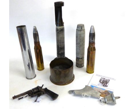
A Collection of First and Second World War Brass Shell Cases, Deactivated Ordnance and Ordnance Parts, together with a late 19th century Continental pinfire six-shot revolver, with folding trigger and chequered wood scale grips and two Messerschmitt BF109E small aircraft fragments, with related history (7)
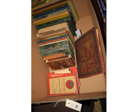
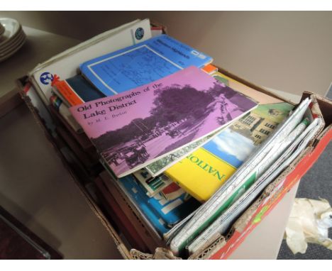
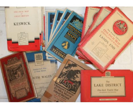
![A quantity of Lake District related books, including Wainwright [Alfred], 'The Central Fells', 2nd impression 1958 (with dust](https://cdn.globalauctionplatform.com/b54c7539-9668-4863-b7a2-a7bd010ddfc1/c76fb99f-5a21-4153-ed1e-5d88bae95cd9/468x382.jpg)
Lot 13
A small collection of silver, white metal and porcelain brooches, a Royal Army Ordnance Corps sweetheart compact, two cased black and white photo sets, a 1933-4 Dorset County Schools FA medal, a brooch commemorating the Diamond Jubilee of Queen Victoria, together with a hardwood box with mother of pearl inlay and a modern box with marquetry daffodil decoration

Lot 352
Two Pairs of WW2 Lightweight Trousers consisting light khaki cotton drill tropical trousers. High V back straight leg examples. Side slash pockets. Rear seat first aid pocket. Issue label dated '1942'. Together with a pair of Royal Ordnance Factory working trousers. Light khaki cotton bib front wide leg trousers. White composite buttons. Issue label 'ROF Trousers Mens' dated 1942. 2 items.
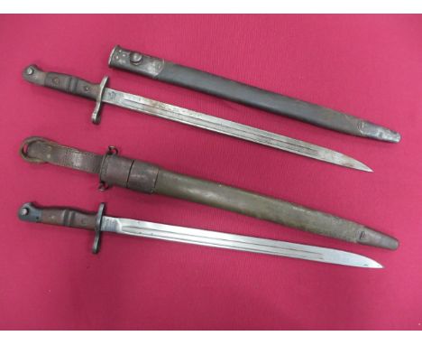
Lot 620
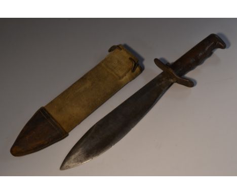
American P17 Bayonet Together With a P13 Bayonet 17 1/2 inch single edged blade with fuller, the forte stamped '1917 Remington' with 'US' acceptance stamps. Blued steel muzzle ring, crossguard and pommel. Wooden grooved slab grips. Contained in its steel mounted leather scabbard. Together with a similar P13 bayonet. The forte stamped '1913. 2/16 Remington' with British Ordnance stamps. Contained in its steel mounted leather scabbard. 2 items.
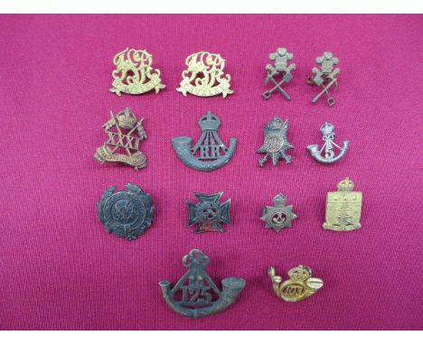
Lot 105
Good Selection of Indian Collar Badges including facing pair Prince of Wales Pioneers by Gaunt ... KC bronzed 31st Cavalry by J & Co ... KC silvered 5th Infantry ... KC gilt 103 Infantry ... KC white metal Madras & Mahratta RLY Rifles ... Blackened Eastern Bengal Volunteer Rifles ... Blackened 125 Infantry ... KC blackened Rajputana Rifles (no lugs) ... KC gilt Ordnance India. 14 items.
Lot 146
Small Selection of Excavated Georgian Buttons consisting domed brass 7th Dragoon Guards ... Plated flat crowned Tipperary Militia ... Flat pewter Royal Waggon Train ... Flat plated VII Royal Fusiliers by 'Eginton & Co Birmingham' ... 2 x flat plated IV Queen's Own Dragoons by 'S Firmin. Strand' and ' I Nutting Kings St. Covent Garden' ... Flat pewter Sea Fencibles ... Flat brass P.V.A. on Arms of Ordnance ... Flat pewter crowned *9 ... Flat brass East India Company. 10 items.
![GEOLOGICAL MAPS No.XLIV [44, Worcestershire/Gloucestershire]; No.LV [55, Herefordshire/Worcestershire]; No.LXXIV [74, Llangol](https://cdn.globalauctionplatform.com/b2b13407-ec39-4ad3-86c9-a7b5011196d5/ce0da89d-7702-4b3a-907b-f456973cff43/468x382.jpg)
Lot 86
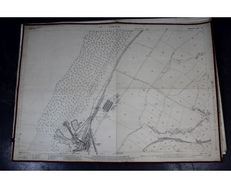
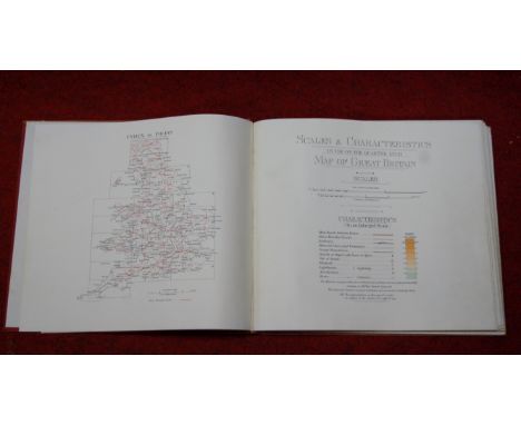
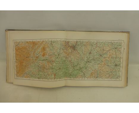
GEOLOGICAL MAPS No.XLIV [44, Worcestershire/Gloucestershire]; No.LV [55, Herefordshire/Worcestershire]; No.LXXIV [74, Llangollen/North Wales]; No.LXXXII [82, Nottinghamshire/Derbyshire/South Yorkshire], 1860s, Geological Survey of Great Britain; four hand-coloured engraved geological maps, sectionalized and mounted on linen (folding); nos. 44 and 82 printed borders 630 x 730mm, nos. 55 and 74 in frames 730 x 1030mm. Early issues in original colour, fault lines highlighted in white, based on the Ordnance Survey one inch to one mile map. Sheet 82 with (part of) official blindstamp for January 1863, three sheets with 'Price 2s' upper right, keys in the margins (4)

-
12130 item(s)/page