We found 12129 price guide item(s) matching your search
There are 12129 lots that match your search criteria. Subscribe now to get instant access to the full price guide service.
Click here to subscribe- List
- Grid
-
12129 item(s)/page

Lot 2144
Public Works. Report from the Select Committee on Buildings Regulation and Improvement of Boroughs, London: House of Commons, 1842; Report from the Select Committee on National Monuments and Works of Art, London: House of Commons, 1841; Report of the Commissioners appointed to inquire into the facts relating to the Ordnance Memoir of Ireland, London: William Clowes, 1844; A Plan of the Regent's Park, showing the Improvements and Alterations, hand-coloured folding engraved plate, London: House of Commons, 1841; Report from the Select Committee on Thames Embankment, 2 folding plates, one coloured, London: House of Commons, 1840; Report from the Select Committee on Westminster Bridge, 4 hand-coloured plates, London: House of Commons, 1844, bound together in contemporary half calf, bookplate of Bath Library; Alfred Jones Collection, folio

Lot 150
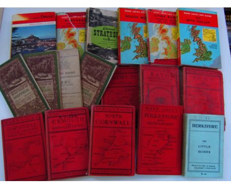
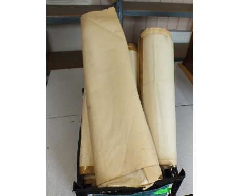
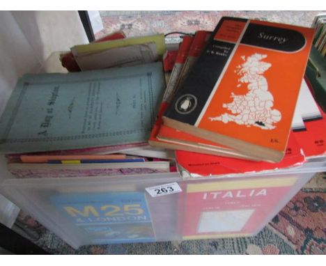
Cary (John). Cary's Traveller's Companion, or a Delineation of the Turnpike Roads of England and Wales..., 1791, calligraphic title, advertisement and contents list, forty-three (complete as list) engraved maps with contemporary outline colouring, printed back-to-back, text block detached, contemporary calf, crudely repaired with sellotape, rubbed and worn, 8vo, together with Bowen (Emanuel), A Corrected Map of the County of Stafford divided into Hundreds..., published H. Overton, J. Bowles, H. Parker, Carington Bowles, J. Ryall & R. Sayer and T. Kitchin, circa 1750, engraved map with contemporary outline colouring, sectionalised and laid on linen, 525 x 410 mm, contained in a contemporary marbled card slipcase with printed label to upper board, with another twenty-two folding county, touring and regional maps including examples by Cruchley, Hall, Bacon, J & C Walker, Philips, Bartholomew and Ordnance Survey, plus two Ordnance Survey maps of parts of Warwickshire and Staffordshire (dated 1834 & 1862 respectively), each sectionalised and laid on linen and each contained in contemporary green morocco slipcases with envelope style lids, each approximately 630 x 715 mm, plus seven guide and road books, including examples by Cary, Fraser and Blacks, various sizes and conditon Sold as a collection of maps and plates, not subject to return. (approx.35)
Lot 312
*Prints & engravings. A mixed collection of approximately 440 prints, engravings and maps, mostly 19th century, including British topographical views, botany, natural history, Ordnance Survey maps, and field sports, with examples by Shepherd, Tallis, Finden, Gastineau, Godfrey, Step, Morris and Scot, various sizes and condition (approx.440)
Lot 96
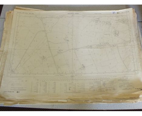
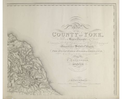
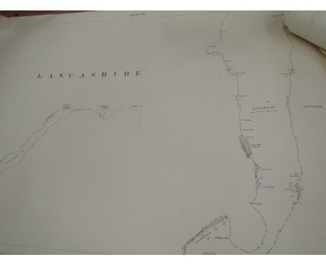
Greenwood (C.), Map of the County of York, made on the Basis of Triangles in the County, determined by Lieut. Col. Wm. Mudge, Royal Art. F.R.S. and Captn. Thos. Colby, Royal Eng. in the Trigonometrical Survey of England by order of the Honourable Board of Ordnance and Surveyed in the Years 1815, 1816 & 1817, published Robinson Son & Holdsworth, Leeds [and] John Hurst & C.Greenwood, Wakefield, June 4th 1817, uncoloured large scale engraved map on nine sheets, calligraphic title, compass rose, list of the altitudes of the principal mountains and a table of explanation, occasional marginal closed tears, slight dust soiling, each sheet approximately 610 x 710 mm (1)
Lot 138
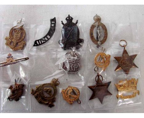
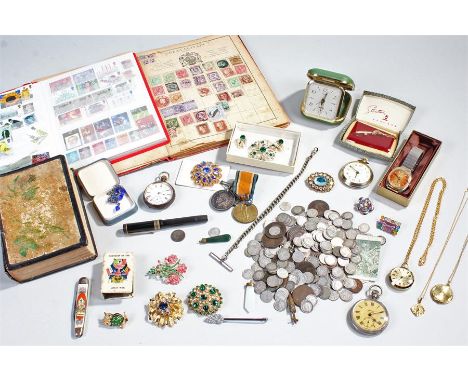
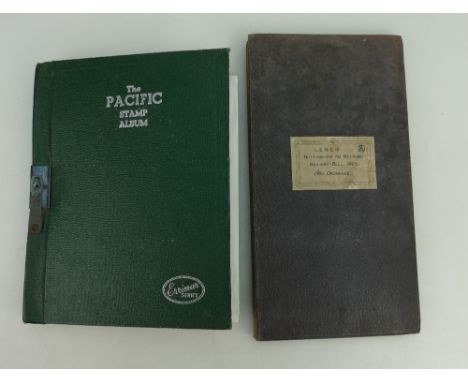
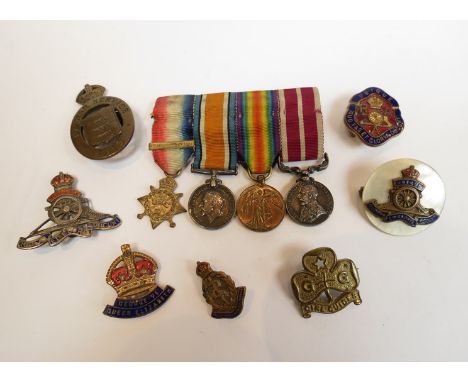
A collection of items to include, Two stamp collection books, a bible with an inscription inside dated 1884, costume jewellery, three open faced watches, 1937 Coronation souvinir pen knife, Admiral Jellicoe souvinir matchbox cover, fountain pen, collection of coins including Victorian pennies and pre 1947, wristwatch,alarm clock, Great War pair of medals to soldier in the Army Ordnance Corps, (Qty)

Lot 439
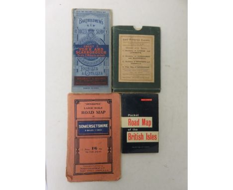
Cased set of four New Ordnance Survey maps made by Twiss and Sons showing the Environs of Lynton and Lynmouth, 24cm x 42.5cm; Environs of Ilfracome and Barnstaple, 40cm x 32.5cm; Environs of Bideford and Clovelly, 22xm x 54.5cm; and a Plan Map of Ilfracombe, 37cm x 48cm - contained in one case, tog. w. a 'Geographia' Road Map of Somersetshire, a Bartholomew's Tourist and Cyclists, Sheet 7 York and Scarborough Map, and a Pocket Road Map of the British Isles (7)
Lot 279
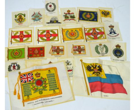
Approximately thirty BDV cigarette silks of various military regiments to include; Ordnance Survey Department, India, 30th Lancers (Gordon's Horse), Canada Manitoba Light Infantry, West African Frontier Force, Northern Nigeria Regiment, East Lancashire Regiment (30th and 59th Foot), Loyal North Lancashire Regiment (47th and 81st Foot), the Duke of Cambridgeshire's Own (57th and 77th Foot), the Queen's Royal West Surrey Regiment (2nd Foot), Welch Regiment (41st and 69th Foot), the Queen's Own Cameroon Highlanders, the Sherwood Foresters (Notts & Derby Regiment), First King's Dragoon Guards, Oxfordshire, Worcestershire, Royal Irish Rifles, London Scottish, the Royal Welch Fusiliers 23rd Foot, Russia Imperial Standard, 19th (Queen Alexandra's Own Royal) Hussars, 6th Inniskilling Dragoons, Royal Berkshire Regiment, the Hampshire Regiment 37th and 67th Foot, Egypt, The Prince of Wales' Volunteers (South Lancashire Regiment 40th and 82nd Foot) and two large silks; Argyle and Southerland Highlanders (Princess Louise's) and Russia.

Lot 142
Cassell's Railways of the World, (two volumes), two volumes of The GWR Stars, Castles and Kings Part One 1906-1930, Part Two 1930-1965 by O.S. Nock, Castles and Kings, A Pictorial Tribute by Roundhouse Books, other Railway books and Ordnance Survey Maps and a case containing records on steam locomotives. Monopoly board, rail, race board, etc:- One Box
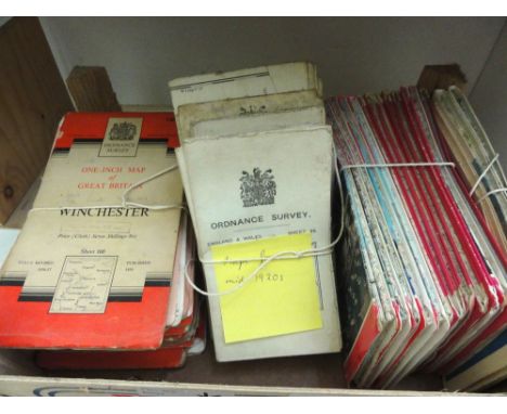
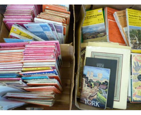
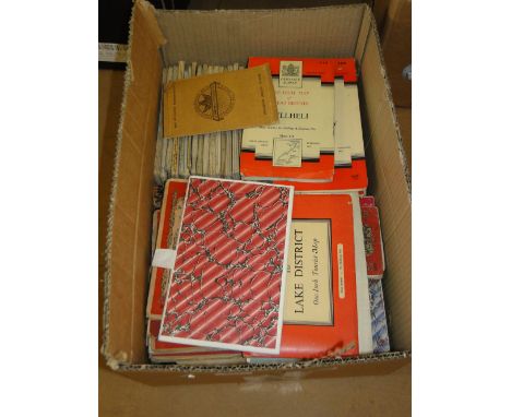
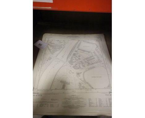
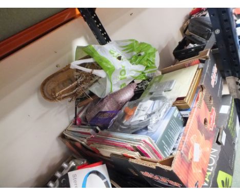
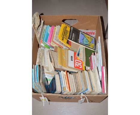
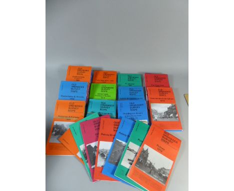
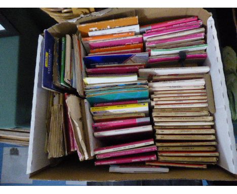
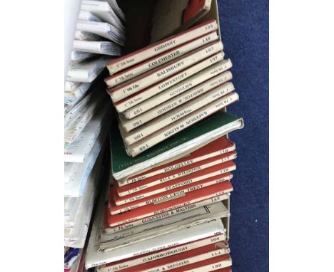
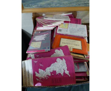
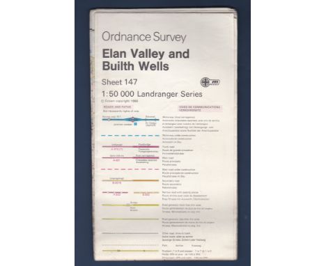
![[MAPS]. SEVENTY-FIVE ORDNANCE SURVEY FOLDING MAPS Landranger and other; together five British Waterways inland cruising book](https://cdn.globalauctionplatform.com/60c39ec2-4c8f-47ba-9153-a77900b24a93/1a98b1e5-be60-477d-9578-3d03771647af/468x382.jpg)

Lot 159
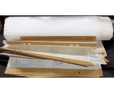
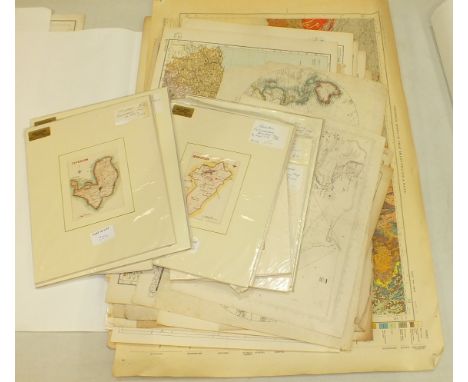
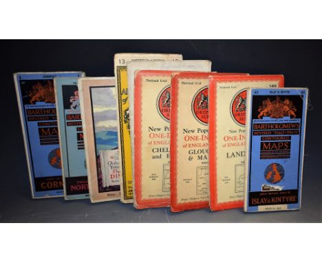
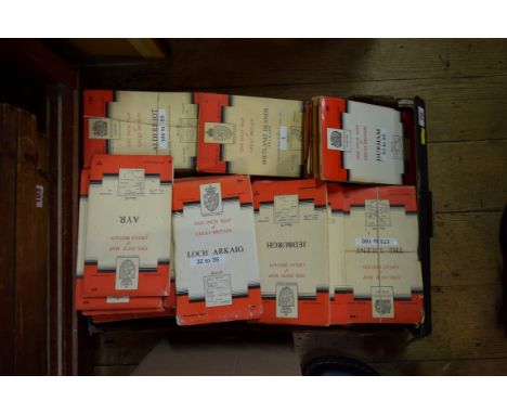
Folding maps.- Mudge (Lt. Col. William) Ordnance Map of Cornwall, engraved map on 6 sheets, folding in sections and linen-backed, 1813; and a quantity of other folding maps, almost all 19th century, including county maps by Walker, Ordnance Survey by Stanford, other Ordnance maps by Mudge (c.1809-13), Bradshaw and other railway maps, Colton's Mexico (1890), Gardner's Geological Map (1842), Wyld's Country Twenty-Five Miles round London, Reynolds's Geological Atlas, various Geological Survey maps and others of Switzerland, Italy, France and Germany, many with hand-colouring and in original slip-cases or folding into original covers, v.s. (c.100)

Lot 1318
Mixed ephemera selection - two maps Great Western Railway and Ordnance Survey maps East Anglia 1948, Morris Minor manual series II Fifth Gd., Motor Repairs Weekly, c. 1930s Supaul Electric Light fitting catalogue, Highway Code which details hand signals, etc, 1910 Cornhill magazine, etc (qty)
Lot 990
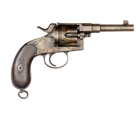
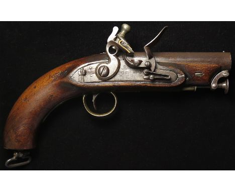
Pistol: Pattern 1831. An outstanding Board of Ordnance travelling pistol for self protection and military usage. Short barrel with flat top 4.5". With GR proofs. Lock tail marked 'TOWER'. Stepped lock with sliding safety and Crown GR to lock plate. Ring neck cock, rain proof pan. Captive rammer. Lanyard ring to stock. Polished walnut stock with 'BO' arrow mark. Brass T/Guard. This pistol for customs or coastguard use. Super piece
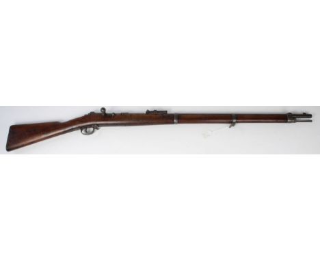
Lot 997
Rifle: A good Mauser Model 71/84 Service Rifle in 11mm (obsolete calibre no licence required) Action dated 1886 made at SPANDAU. Butt plate tang marked to 109th Regiment. Good bore. 'FW' Cypher to breech. SN: 3336. Tube magazine for 8 rounds on the Kropatschek principle. Ordnance marked. A good example. These rifles used on reserve line units in WW1.
-
12129 item(s)/page