We found 12130 price guide item(s) matching your search
There are 12130 lots that match your search criteria. Subscribe now to get instant access to the full price guide service.
Click here to subscribe- List
- Grid
-
12130 item(s)/page


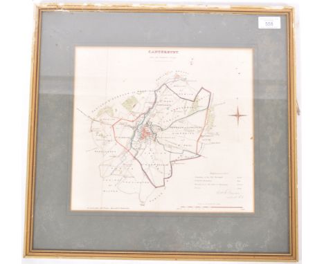
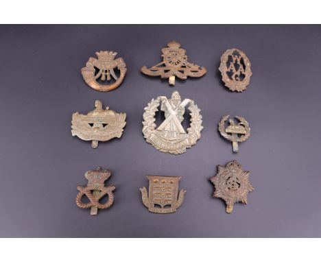
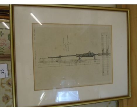
Lot 558
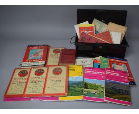
An early to mid 20th Century English lithograph hand coloured Ordnance Survey map for Canterbury and its borders. The map with hand coloured boundaries and further highlighted areas with a small summary to the bottom right. Printed by R. Cartwright Litho Printer and singed by Lieutenant Robert K. Dawson of the Royal Engineers. Framed and glazed. Measures approx 44cm x 46cm.


Lot 319
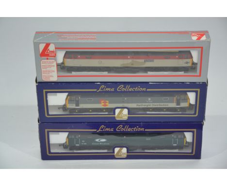
Lima OO Gauge British Outline Diesel Locomotives, three boxed Class 47 locomotives L204903 The Sapper in Railfreight livery, L205171 Thor in Great Western Livery and limited edition for Beatties 204823A5 The Royal Army Ordnance Corps in Technical Services livery with certificate 527/850, G-E, Boxes F-G, (3)
Lot 430
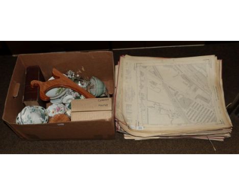
SEVEN BOXES OF SUNDRY ITEMS, PICTURE FRAMES, BOOKS, etc, to include brass flexible table lamp, Ordnance Survey maps, games, Zapf Creations doll, Christmas decorations, various plastic trays, jigsaws, empty photo albums, cameras (canon EOS600 and Canon Sure Shot), stationery items, 'Stars & Cars Mythical Pairings' book, etc

Lot 14
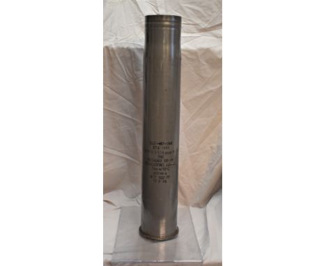
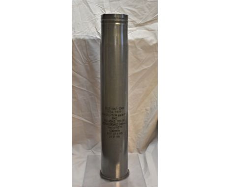
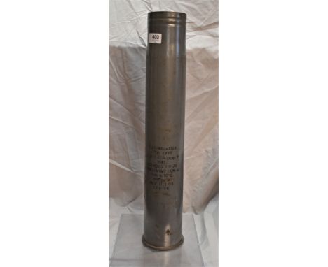
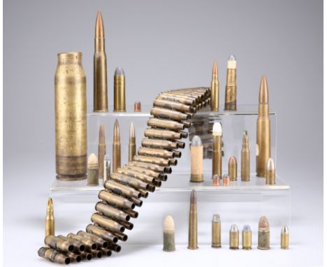
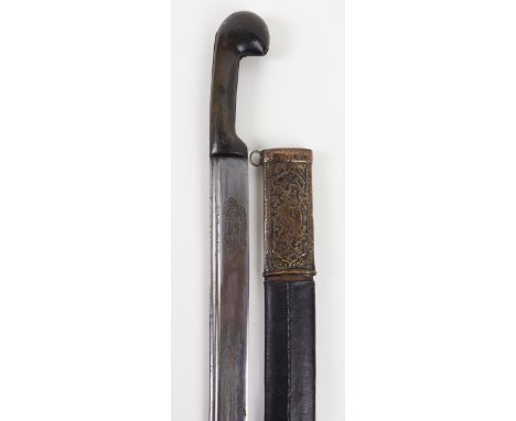
A BOX CONTAINING A QUANTITY OF USED SMALL ARMS ORDNANCE, including a .303 ammunition belt and a selection of loose cases. (quantity) The absence of a Condition Report does not imply that a lot is without imperfections. Please note carefully the exclusion of liability for the condition of lots contained in the Conditions of Sale.Most items, being spent, are without heads but others re-built as specimens - various calibres.
Lot 21
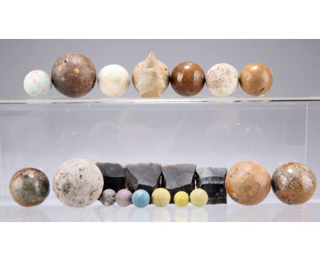
A QUANTITY OF PISTOL, MUSKET AND SMALL CALIBRE CANNON BALLS, together with several unused napped musket flints. The absence of a Condition Report does not imply that a lot is without imperfections. Please note carefully the exclusion of liability for the condition of lots contained in the Conditions of Sale.All items in good order with some varnishing to larger ordnance.
Lot 386
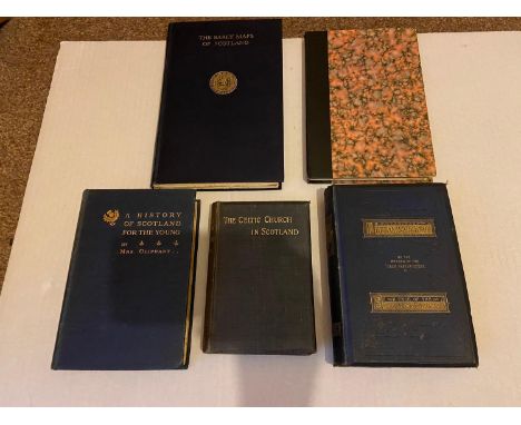
A Lot of five Scottish books which includes titles and authors: A History of Scotland for the young by Mrs Oliphant, The Celtic Church in Scotland by John Dowden, The Days of Knox: A Tale of the Sixteenth Century- dated 1875, The Early Maps of Scotland with an Account of the ordnance Survey [second edition] & The Maps of Edinburgh 1544- 1929 by William Cowan
Lot 277
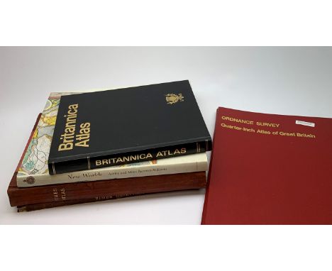
Bartholomew Times Survey Atlas of the World. 1922 with separate Gazetteer volume. Uniformly bound in half red morocco; Ordnance Survey Quarter-inch Atlas of Great Britain. 1969; Britannica Atlas; and New Worlds Maps from the Age of Discovery (5)Click here to view further images, condition reports, sale times & delivery costs for this lot.

Lot 71
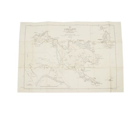
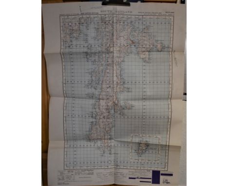
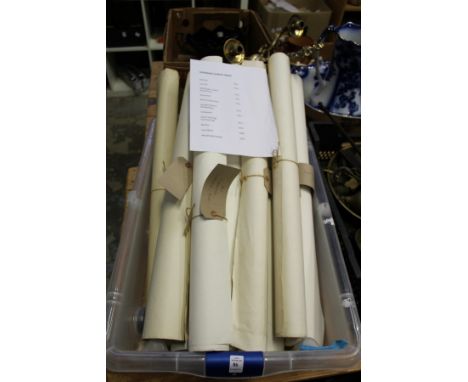
Ireland. Ordnance Survey. A collection of seven Townland Surveys of Irish Counties: - Tipperary, Clare, Waterford, Wicklow, Armagh, Longford [and] Mayo, 1843, together seven uncoloured engraved reticulated county maps, each with a key plate and a statistical table of the parish and town data, each map with an unobtrusive Ordnance Survey blind stamp to the upper margin, each approximately 660 x 960 mmQty: (7)

Lot 78
Maps. A mixed collection of approximately fifty maps, mostly 19th century, engraved and lithographic foreign maps, including several mounted on battens, with examples by Bacon, Bartholomew, Ordnance Survey, Clegg, Brué, Thomson, D'Anville, Colton and Tallis, various sizes and conditionQty: (approx. 50)
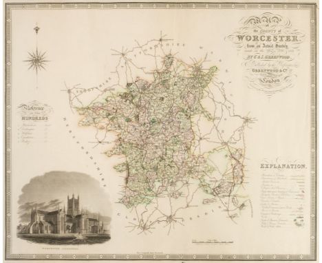
Lot 80
Maps. Greenwood (C. & J.), Map of the County of Worcester from an actual survey..., Map of the County of Huntingdon from an actual survey..., Map of the County of Northampton from an actual survey..., Map of the County of Stafford from an actual survey..., [and] Map of the County of Leicester from an actual survey..., circa 1830, together five engraved maps with contemporary hand colouring, each with an uncoloured topographical vignette, some marginal fraying and closed tears, occasional holes to the printed image, Staffordshire with long repaired closed tear affecting image, occasional spotting, each approximately 595 x 725 mm, together with Toms (W. engraver). Most Humbly Inscribed to the Rt. Honble. Sir Charles Wager, first Lord Commissioner of the Admiralty. This plan of the Harbour, Town and Several Forts O Cartagena. In which is Exhibited a Perfect View of the English Fleet as they Anchored all along the Coast..., S. Harding & W. H. Toms, May 29th 1741, uncoloured engraved map with reference table below image, creased and with some dust and finger soiling, 440 x 595 mm, with Faden (William, publisher). Plan of the Harbour of Cadiz surveyed by Brigadier Don Vincent Tofino de San Miguel Director of the Naval Academies for Cadets 1789, Re-published...., 1805, uncoloured engraved chart, inset reference table, creased and with some dust soiling and staining, 590 x 860 mm, plus Foster (E. publisher). Foster's Chart of Rome, France and Britain with Historical Notices and dates of other States of Europe, 43rd edition, circa 1855, an uncoloured broadside of chronological historical and important dates for Rome France and the countries of the United Kingdom, some staining, laid on linen, 800 x 565 mm, and three various Ordnance Survey maps, various sizes, all damagedQty: (11)NOTESSold as a collection of maps, not subject to return.
Lot 85
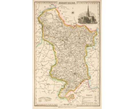
Pigot (& Co. publishers). Pigot & Co's Maps of the Counties of Derby, Hereford, Lincoln, Leicester and Rutland, Monmouth, Nottingham, Salop, Stafford, Warwick and Worcester; with a General Map of Wales: being an Appendage to the Midland County Volume of their National and Commercial Directories, circa 1828, ten engraved maps with bright contemporary outline colouring, the map of Wales folding and with slight offsetting and staining, each map approximately 365 x 240 mm, map of Wales 680 x 535 mm, publisher's printed paper wrappers with title to upper siding, creased and dust-soiled, together with Bartholomews (John & Co., publishers). Thirty regional maps of England and Wales, circa 1900, colour lithographic regional maps, each approximately 345 x 435 mm, with 14 folding maps, including touring and Ordnance Survey maps of British counties and regions, including London and overseas maps of the Balkan peninsula, Sweden and Norway, Egypt and the Rhine and Danube Basins, various sizes and conditionQty: (approx.45)
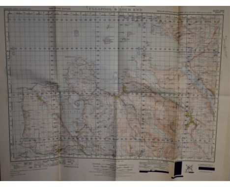
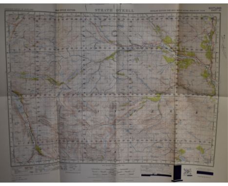
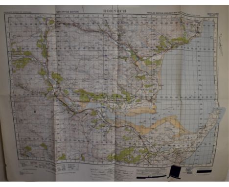
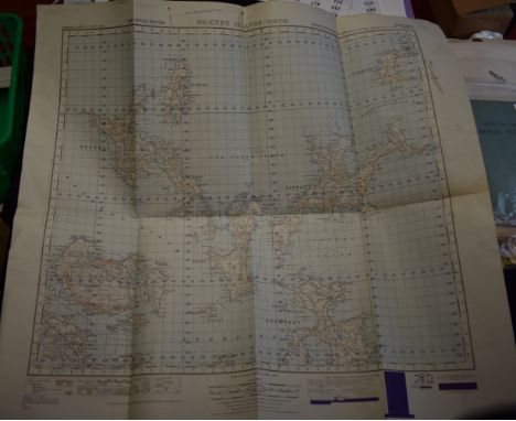
Lot 87
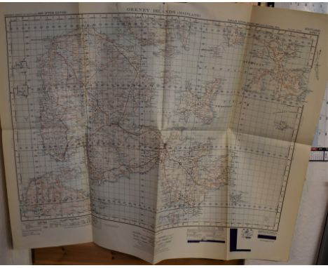
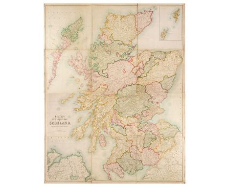
Scotland. Bartholomew (John), Black's New Large Map of Scotland, Compiled from The Ordnance, Admiralty & other Surveys, A & C Balck, Edinburgh, circa 1874, large engraved map with bright contemporary outline colouring, sectionalised and laid on linen, inset map of the Orkney and Shetland Islands, 1815 x 1425 mm, card endpapers, contained in a contemporary cloth slipcase with gilt title to upper cover, margins of slipcase crudely strengthened with tape, some staining, slipcase size overall 545 x 500 mmQty: (1)

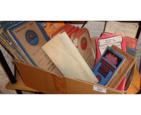
Lot 8026
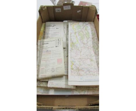
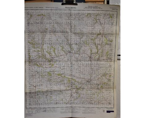
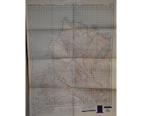
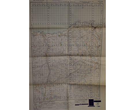
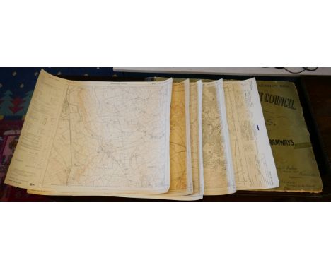
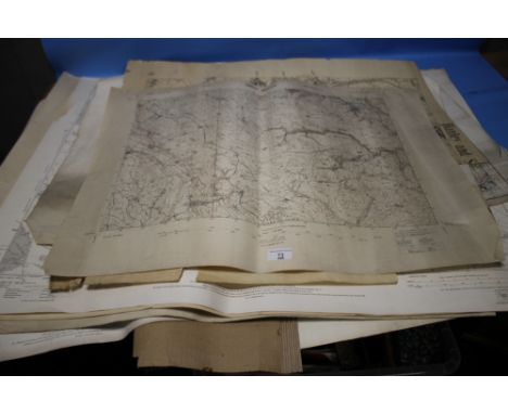
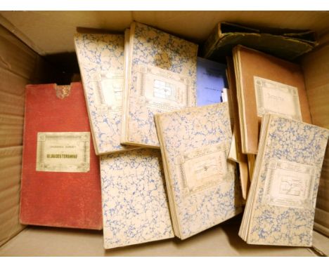
A large quantity of mainly early-mid 20th Century folding maps including Devonshire Sheet LXXXVIII second edition 1906', 6 inches to 1 mile; 'Devonshire sheet XC N.W.', same scale and date/edition and others similar Okehampton; Crediton; Petertavy; Horsham; Sussex, 1813, published Lt.Col. Mudge Tower, engraved Benj. Baker, sheets 5 and 9, each dissected and backed onto linen, in battered slipcase; Ordnance Survey of Gloucester, electrotyped 1862, 1 inch to 1 mile, sheets 34, 43 and 44, in original slipcase (worn); plus numerous others
-
12130 item(s)/page