We found 12129 price guide item(s) matching your search
There are 12129 lots that match your search criteria. Subscribe now to get instant access to the full price guide service.
Click here to subscribe- List
- Grid
-
12129 item(s)/page

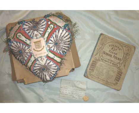
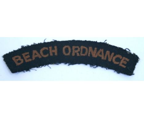
Lot 129
WWI sweetheart embroidered cushion for the Army Ordnance Corp with bead work and scrap work detail with central regimental crest, the cushion in the form of a heart complete with a coloured school atlas from the same period and an envelope containing a biscuit from the Dardanelles during The Great European War 1914-1918 with inscription to the envelope

Lot 809
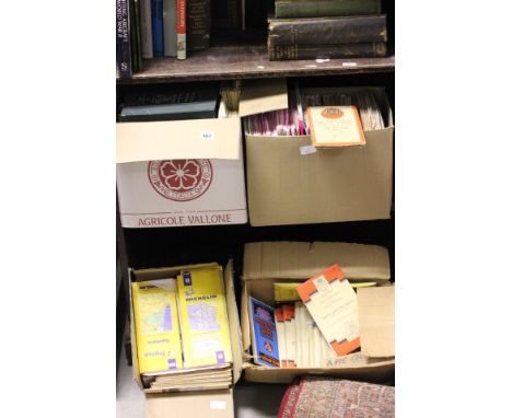
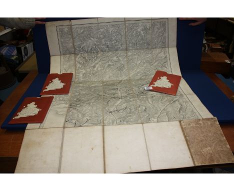
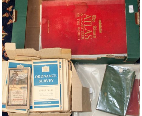
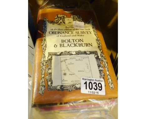
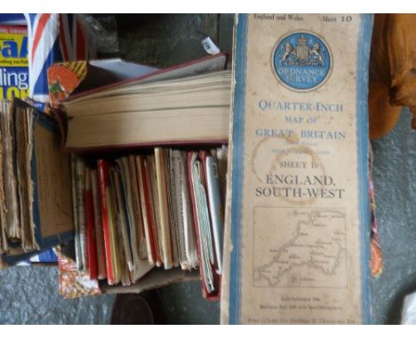
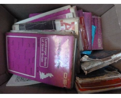
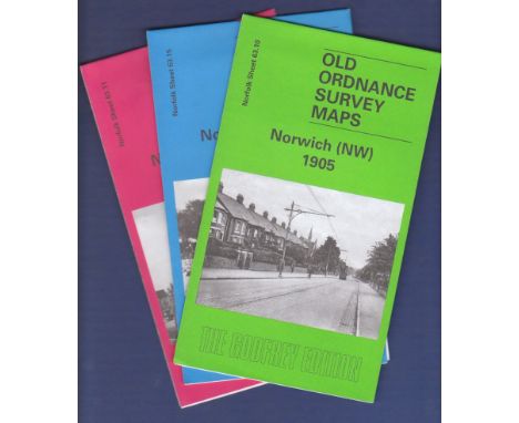
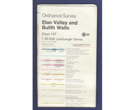
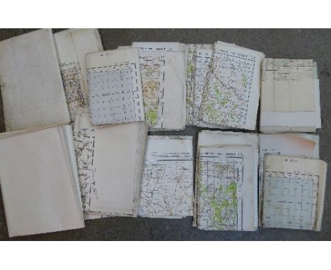
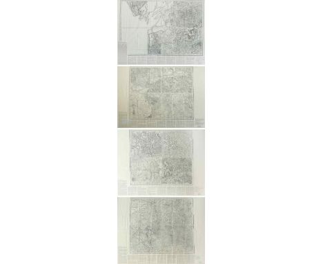
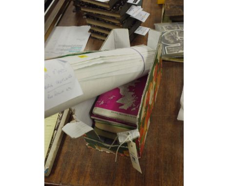
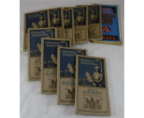
ORDNANCE SURVEY - Wales (part of), 4 sheets, nos. xxxvi/vii (pt. of Glamorgan), xli (pt. Camarthen) & xlii (pt. Brecknock & Monmouth), scale: one inch to mile, lithographed, folded & mounted on linen within cloth covers, opens to 64 x 95cms.; contained in original half morocco & marbled boards case, gilt-panelled spine. 1830-33; ORDNANCE SURVEY - (Wiltshire). sheet no. xiv, First Edition. folded on linen within cloth covers, opens to 62 x 78cms., scale: one inch to mile. Tower of London (col. Mudge), 1817. * revised (electrotype 1865) printing.
Lot 559
An interesting WWI paper Ordnance Survey Trench Map of Zillebeke, Edition 3, the trenches corrected to 31.8.16, showing such iconic places as Hellfire Corner, Clapham Junction, Polygon Wood, etc, 27½” x 37½”, glazed, in ebonised frame. Basically GC (creased, stained and faded), a label on the back states that it came from the TA Centre, Camberwell, original HQ of the 1st Surrey Rifles.
Lot 819
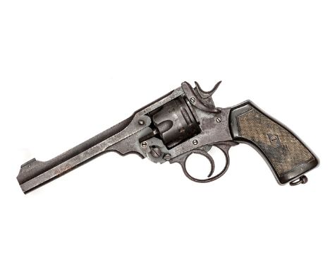
A 6 shot .455” Webley Mark VI DA service revolver, number 375692, the frame dated 1918, with various ordnance inspector’s marks, chequered hard rubber grips, and lanyard ring. GWO & basically GC (lightly worn overall, patch of recent rust to cylinder, barrel release catch spring replaced), with COD. Plate 8
Lot 395
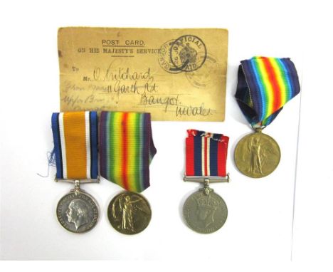
A GREAT WAR PAIR OF MEDALS TO PRIVATE O. PRITCHARD, ROYAL ARMY ORDNANCE CORPS comprising the British War Medal 1914-20 and Victory Medal (both O25778 Pte. O. Pritchard. A.O.C.), officially impressed, unmounted, with an official card identifying the recipient's entitlement, addressed to Mr O. Pritchard in Bangor, North Wales; also another Victory Medal (name erased); and a War Medal 1939-45.
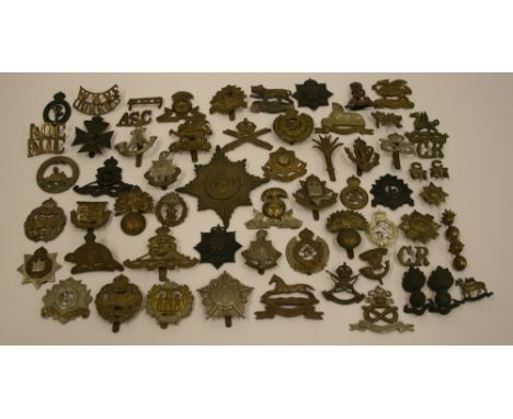
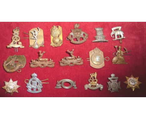
Lot 95
Selection of British Regimental Badges consisting of mostly cap and collar badges with some shoulder titles and other items. Regiments include Grenadier Guards, Scots Guards, Essex regiment, Army Ordnance Corps, Connaught Rangers, South Staffordshire regiment, Tank Corps, East Surrey, Bedfordshire regiment, The Buffs. Shoulder titles include WKVF (West Kent Volunteer Fencibles), Royal Canadian Dragoons (RCD) with Montreal makers details, Queens regiment, pair of C31 Canadian Expeditionary Force, plus a number of badges which are missing fittings on the reverse. Possibly some restrikes. (64 items)

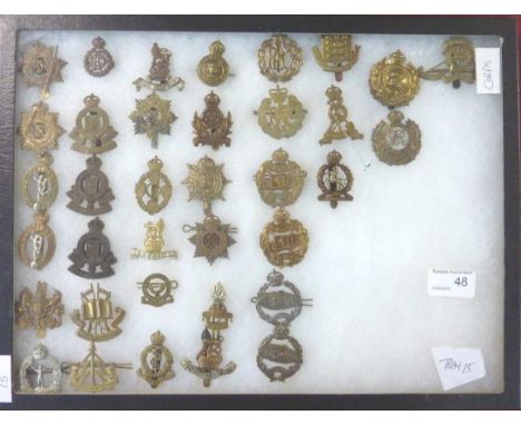
Lot 96
Selection of British Regimental Cap Badges of various regiments including Royal Artillery, Tank Corps, Royal Engineers, Bedfordshire Regiment, Royal Army Ordnance Corps, Louth School OTC, Royal Bucks Hussars, London Rifle Brigade, Special Air Service, St Peters OTC School, plus others. Also some metal trade badges. Mixture of original badges and restrikes. (38 items)
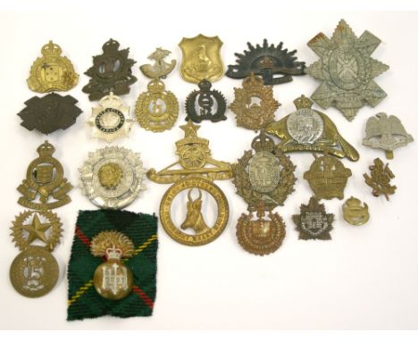
Lot 98
Selection of Colonial Cap Badges of various regiments including Three Rivers Regiment, Fort Garry Horse (collar badge) with pin fitting on reverse, Royal Highland Regiment of Canada glengarry, Royal Canadian Ordnance Corps, The Royal Regiment of Canada (one loop missing), The Elgin Regiment, Strathcona’s Horse Royal Canadians, Cape Town Highlanders, 10th Regiment North Otago Rifles, 6th New Zealand Manawatu Mounted Rifles, New Zealand The Otago and Southland Regiment, plus others. Various conditions and periods. (26 items)

Lot 11
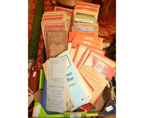
A quantity of books on militaria including:- Kennedy, E. J. "With the Immortal Seventh Division", Hodder & Storton 1916 Simpson, William Ft. Lt. D.F.C. "One of Our Pilots is Safe", Hamish Hamilton 1943 "Handbook for Military Artifices Prepared in the Ordnance College 1915" "Bomber Command", September 1939 to July 1941, paper covers "A la Memoire des Morts de la Grande Loge de France" 1939 to 1949 and various other books relating to the RAF, etc. (1 box)
Lot 2942
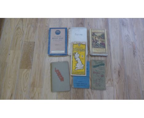
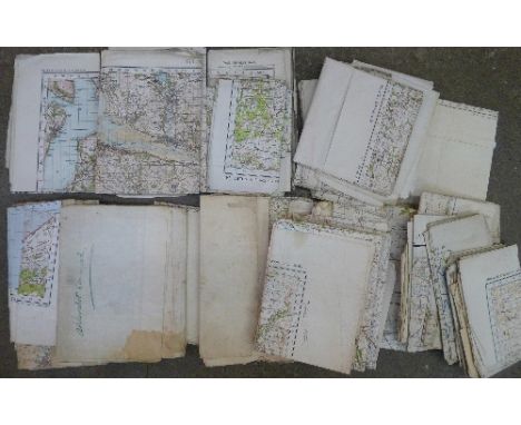
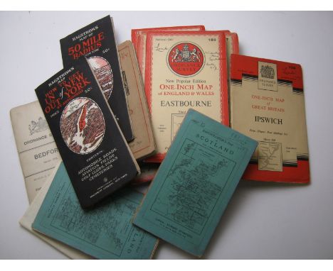
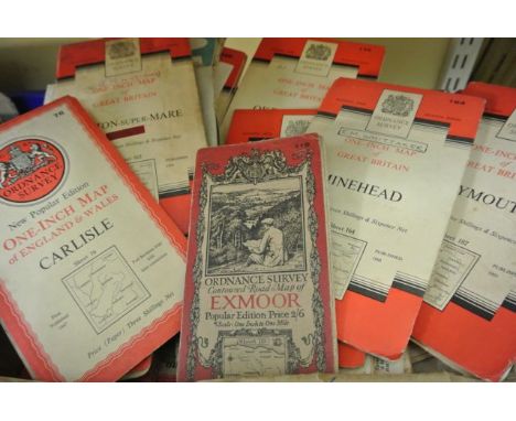
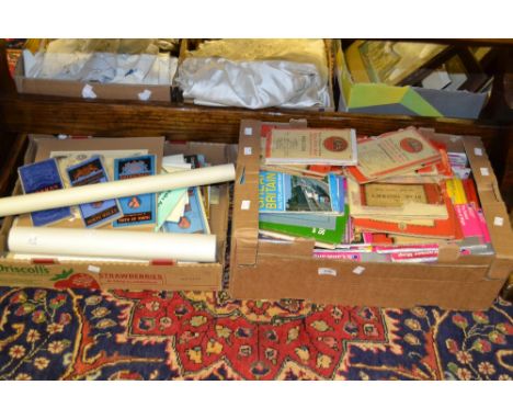
London Passenger Transport Map. A large folding map depicting the metropolitan rail network, c.1933, one inch to the mile, the railways hand-coloured, in 48 sections, backed onto linen, but extending to 169 x 216 cm, in cloth portfolio, Ordnance Survey, 1933 This map would appear to mark the birth of the London Passenger Transport Board in 1933.
Lot 2948
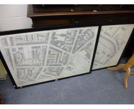
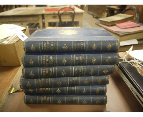
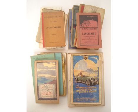
Stanford, Edward. A Map of England and Wales, divided into Counties, Parliamentary Divisions and Dioceses shewing the Principal Roads, Railways, Rivers and Canals and the Seats of the Nobility and Gentry with the Distance of each Town from the General Post Office, London... drawn by R. Creighton, engraved by J. Dower, hand-coloured lithographed map in 120 sections over 4 sheets, folded and backed on linen, five miles to one inch, in original leather case, w.a.f., London: Ordnance Survey, 1866

Lot 323
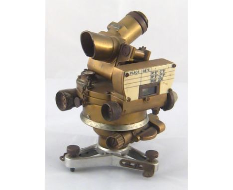
William Mudge; An Account of the Trigonometrical Survey, carried on in the Years 1797, 1798 and 1799, by Order of Marquis Cornwallis, Master-General of Ordnance, bound, further set, unbound; further survey, carried on in the Years 1791, 1792, 1793 and 1794, by Order of His Grace the Duke of Richmond, late Master-general of Ordnance, unbound; Major General Wiliam Roy, Measurement of a Base on Hounslow Heath 1785, Distance between the Meridians of the Royal Observatories of Greenwich and Paris 1790; Mark Augustus Pictet, Considerations on the convenience of Measuring an Arch of the Meridian, and of parallel of Longtitude 1791; and an Account of the Trigonometrical Survey By Order of the Marquis Cornwallis, 1795/96, part of Kent and Sussex (North Foreland to Beachy Head), all bound; various lectures on Geodesy 1774-1899, bound; and patents for trigonometrical and other technical instruments 1889-99, bound. (6)


-
12129 item(s)/page