![Atlas. John Bartholomew FRGS (1831-1893) - The Imperial Map of England & Wales according to the Ordnance Survey [...], On](https://cdn.globalauctionplatform.com/662cb969-5584-4034-a004-b10000c209d5/d2ad8d8d-89ce-4adc-bc0a-b100010795bd/468x382.jpg)

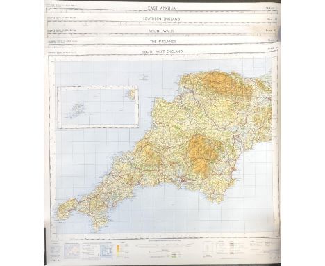
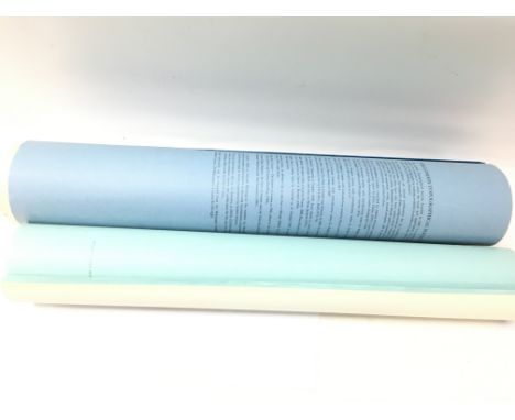
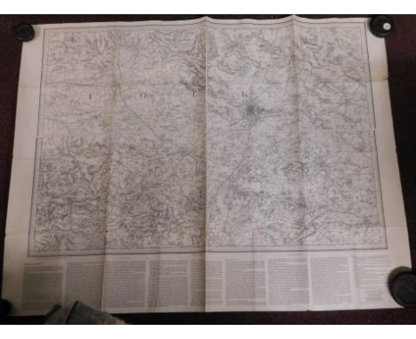
Atlas. John Bartholomew FRGS (1831-1893) - The Imperial Map of England & Wales according to the Ordnance Survey [...], On the Scale of 4 Miles to an Inch, London & Edinburgh: J. Fullarton & Co., n.d. [1866], 16 double-page chromolithographed maps, of which sheet 16 is divided into 3 separate maps, [2]ff (index), some foxing, original quarter-calf over cloth by W. Loxley of Melton, his ticket, upper-cover lettered in gilt, split, chipped and rubbed, but holding, folio (56 x 40.5cm), & Archer (Thomas) & Barnard (Frederick, illustrator), Charles Dickens: A Gossip about his Life, Works, and Characters, London: Cassell & Company, Limited, n.d. [1894], full-page photogravures and in-text illustrations, contemporary quarter-morocco over cloth, pictorial gilt, worn, folio (45.5 x 36cm), (2)
We found 12130 price guide item(s) matching your search
There are 12130 lots that match your search criteria. Subscribe now to get instant access to the full price guide service.
Click here to subscribe- List
- Grid
-
12130 item(s)/page


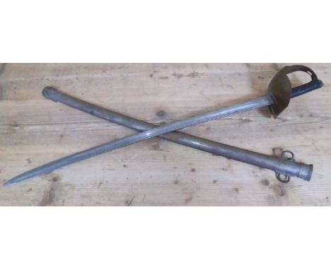
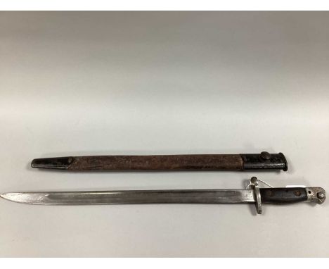
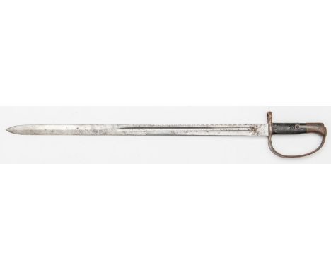
A British 1890 pattern cavalry trooper's sword, the 85cm blade by Mole marked with various Ordnance stamps, steel hilt and scabbard.Condition:- General wear through age and use, blade edge has small dents all along, grip has a couple of marks, guards has a couple of dented areas, scabbard is ok, no sign of any major damage or repair.
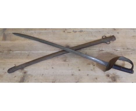
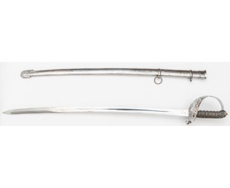
A British 1899 pattern cavalry troopers sword, the 84.5cm blade by EFD marked with various Ordnance stamps, steel hilt and scabbard.Condition:- General wear through age and use, blade edge has few small dents, grip has a couple of marks, guard is ok, scabbard is ok, no sign of any major damage or repair.

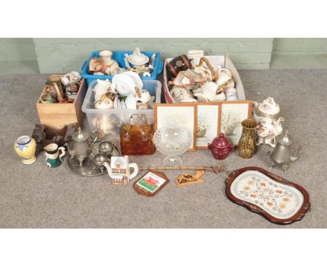
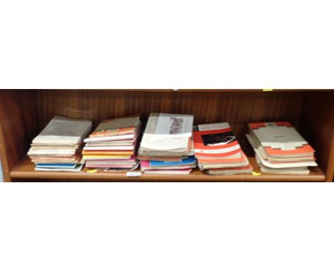
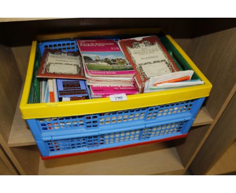
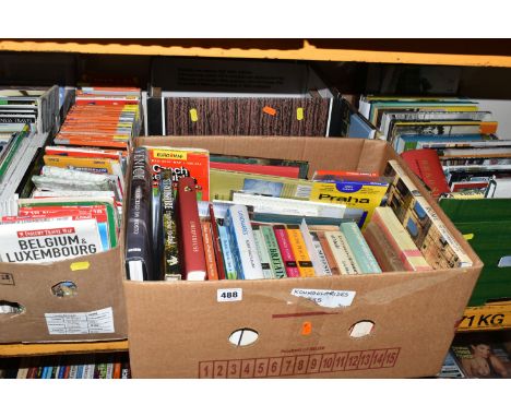
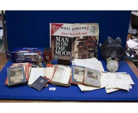
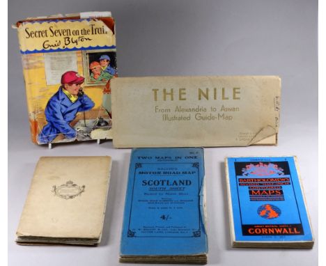
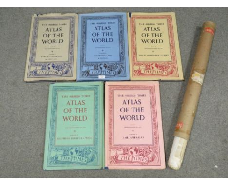
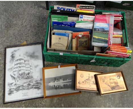
A large collection of 20th century fiction and reference books to include Ian Fleming , Illustration of the Kingdom of England, Ordnance survey maps and others. To include, but not exhaustive, The Forsaken Garden, Elizabeth of Bohemia, Winston Churchill, History of English Speaking Peoples, Poems, WB Yeats, The Sunday Times Diary of the war WW2, months First Six Months to the Twelfth six months, Small Family Houses, Randal Phillips, The Definitive Edition of Rudyard Kipling's Verse, Canterbury Tales and Faerie Queene, Vanity Fair Volumes I and II, Richard Jefferies Rounds about a Great Estate, Red Deer, Bevis, Hodge and His Masters, The Story of My Heart, The Open Air, The Study and Criticism of Italian Art, Berenson, (3 editions), The Jungle Book, Rudyard Kipling, Just So Stories, Rudyard Kipling, See images for all titles and condition; being sold on behalf of a Charity

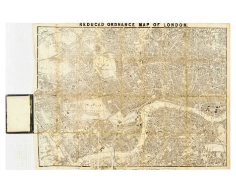
Original antique travel poster - Churchley's Reduced Ordnance map of London with 4000 street references and what to see. One shilling. Churchley 81, Fleet Street. - with a detailed map of London. Fair condition, cover has creasing, paper losses, tears staining. Map has folds, tears, paper losses, staining, creasing. Country of issue: UK, designer: Unknown, size (cm): Folded 18x11 Unfolded 67x87, year of printing: 1870s.
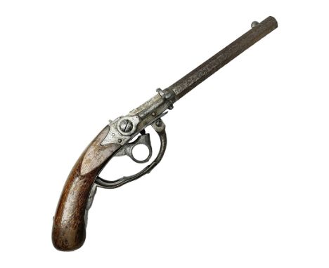
Mid-19th century military Model 1841 Bavarian Lindner style breech loading percussion pistol dated 1842, approximately 16mm cal., 21.5cm rifled octagonal barrel with fixed front and rear sights, unusual under action percussion hammer, profuse ordnance marks and repeated serial number B-249; two stamps to wooden stock L47cm overallCondition Report: Reasonably good condition consistent with age and use.Some rusting to barrel and odd spots to other metalwork.
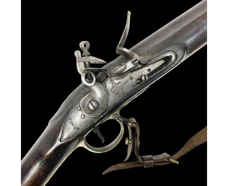
Early 19th century Brown Bess .75cal. flintlock musket, the 96.5cm(38") barrel with four barrel pins, action with Crowned GR, 'Tower' and ordnance marks, ram rod under, brass fittings, leather sling, serial no.97 495, L136cm overallCondition Report:Reasonably good condition consistent with age and use.
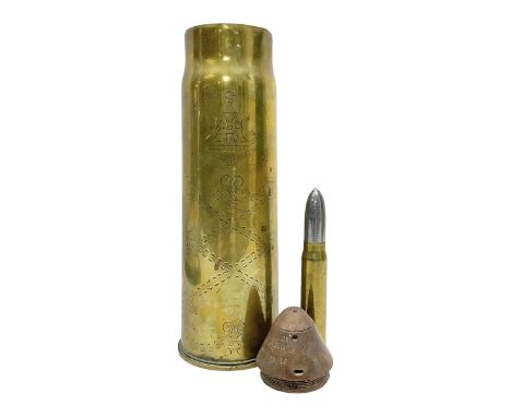
WWI trench art 13-pound anti-aircraft brass shell case engraved Alexandra Princess of Wales, Yorkshire Regiment, bears marks for Royal Ordnance Factory Woolwich 1917 H29cm; WWI British shell fuse dated June 1916; and WWII 20mm brass cannon shell dated 1941 (3)Condition Report:Good condition consistent with age and use.
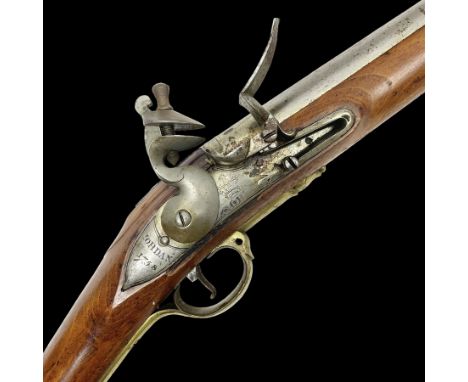
Brown Bess style 10-bore flintlock musket, the action marked with Crowned GR, 'Jordan' and dated 1758, the 104cm(41") barrel with proof and ordnance marks and ramrod under, full hardwood stock with brass fittings, butt marked ABD over 1 over 27, L147cm overallCondition Report: Small split in stock near lock.Possibly a replacement hammer.Slight rusting to barrel.Otherwise looks to be in good condition consistent with age and use.
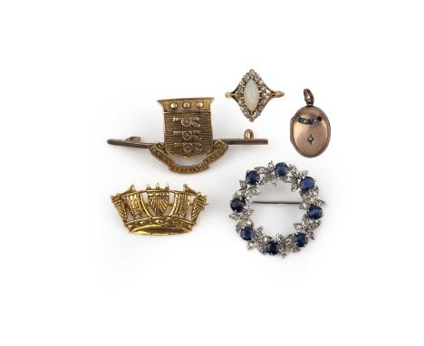
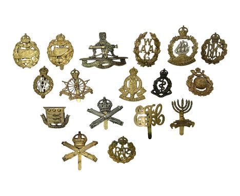
A collection of jewels, early-mid 20th century, comprising: a sapphire and diamond wreath brooch, mounted in white gold, 2.7cm diameter; a navette-shaped opal and diamond cluster ring, size L1/2, stamped 18CT; a 9ct gold brooch modelled as a naval crown, length 2.6cm, British hallmarks; a gold brooch depicting the insignia of the Army Ordnance Corps, length 4.6cm, stamped 9ct, pin deficient; and a sapphire and seed pearl locket pendant in low-carat gold, length 2.5cm
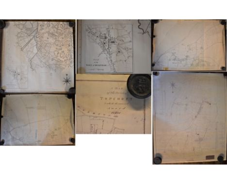
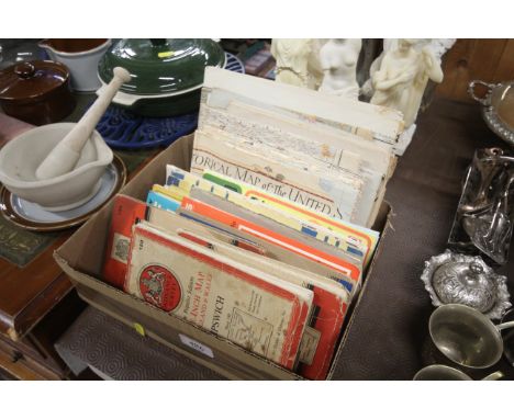
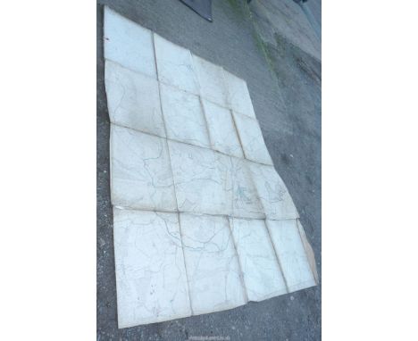
Posters - Map of the Town of Swaffham and surrounding areas. Vintage measurements 61cm x 61cm, Hunstanton (Norfolk) Survey map 1905, measurements 104cm x 74cm, Ordnance Survey Map (Second Edition 1905) North Western Division Walsingham Union and R.D. Measurements 110cm x 73cm slight tear and damage around edge of poster and Norfolk - Map of the parish of Topcroft 1807. Reference of properties and rent paid yearly signifies land copy hold, measurements 94cm x 76cm.
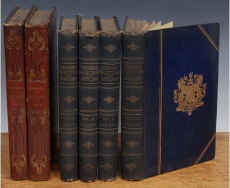
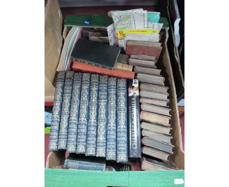
History, Scotland – Groome (Francis H., ed.) Ordnance Gazetteer of Scotland: A Survey of Scottish Topography, new edn., London, William Mackenzie, n. d. (c. 1890), large 8vo, Vols. III-VI of (6), photographic frontis., fold out maps and vignettes, gilt edges, bound gilt embossed blue boards, gilt spine titles, latter rubbed and dirty; Beattie (William), Scotland, Illustrated in a series of Views taken Expressly for this Work by Messrs. T. Dillon, W. H. Bartlett & H. McCullock, 2 vols., London, George Virtue 1838, 121 engraved plates, folding map watered endpapers, bound black and gilt bevelled and embossed boards, gilt titles to spine, Vol. I: 200pp, Vol. II. 164pp (6)

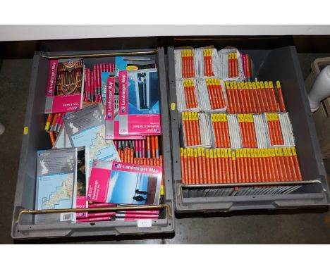
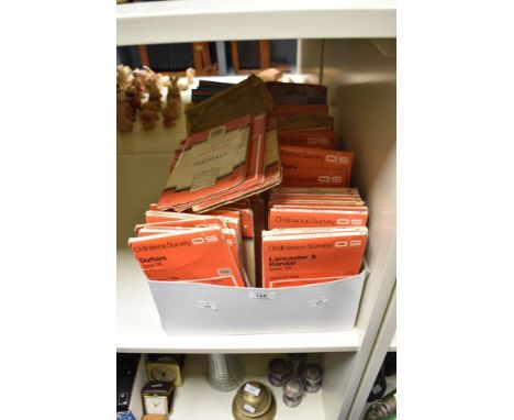
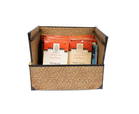
Small range of early 20th Century foldout Ordnance Survey / Road maps to include; Ordnance Survey Contoured Map of Bournemouth and Swanage, Ordnance Survey England & Wales – Sheet 106 [Forster Groom & Co Ltd], Ordnance Survey Tourist Map New Forest, Ordnance Survey Contoured Road Map of Truro, Cycling & County Maps – 2” Salisbury Plain [Forster Groom & Co Ltd], Touring Atlas of the British Isles – Specially Prepared for Cyclists, Motorists & Travellers [Ward, Lock & Co, London, 1909] & Phillips’ Cyclists Map of North Wales [The London Geographical Institute]. (7)
-
12130 item(s)/page