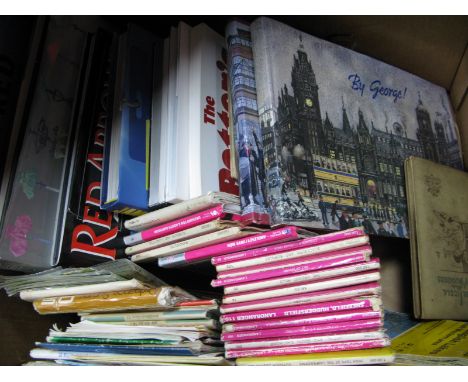
We found 12130 price guide item(s) matching your search
There are 12130 lots that match your search criteria. Subscribe now to get instant access to the full price guide service.
Click here to subscribe- List
- Grid
-
12130 item(s)/page
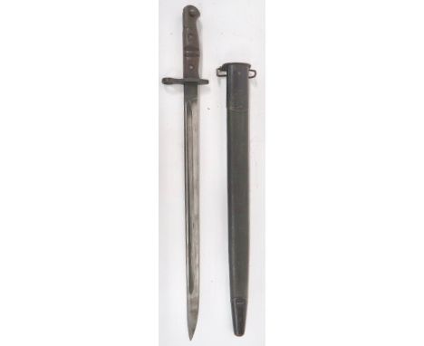

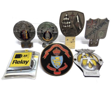
Lot 557
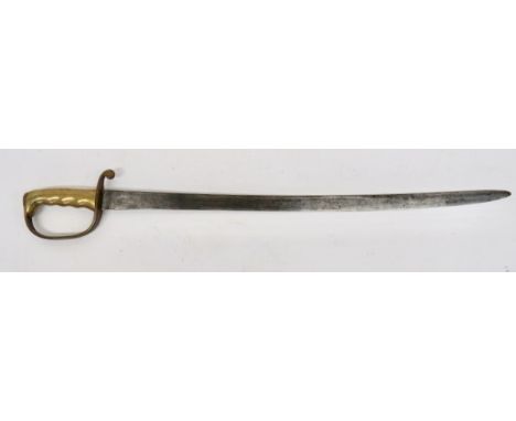
Rare Royal Artillery "Dundas" Sword 28 1/4 inch, single edged, slightly curved blade. The forte with "P" and broad arrow. Brass D shape knuckle bow and downswept quillon. Brass grooved grip with Ordnance stamp. Only a few examples of this sword are known. Designed by Colonel Dundas between 1850-55.
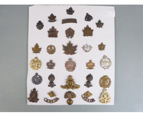
Lot 24
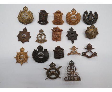
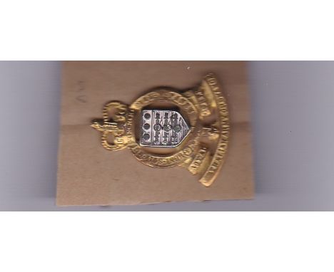
Selection of Canadian Corps Cap Badges including blackened 3rd Canadian Pioneers... KC brass Corps of Military Staff Clerks... KC brass Canadian Engineers... KC darkened Canadian Physical Training Corps... Darkened Canada Ordnance... KC brass Royal Canadian Engineers... KC brass RCASC. 17 items (3 with lugs absent).
Lot 592
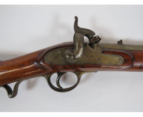
Scarce M1844 Rifled Yeomanry Cavalry Percussion Carbine 20 1/4 inch, rifled barrel. Rear V sight. The breech stamped "1844 Enfield" and proof stamps. Lock plate stamped with crowned VR over "Tower 1844" with Ordnance stamp. Percussion hammer. Retains percussion cap cover. Polished full stock woodwork with brass butt plate, trigger guard, ramrod pipe and end cap. Steel Cavalry sliding bar, sling swivels and captive ramrod. Good clean example.
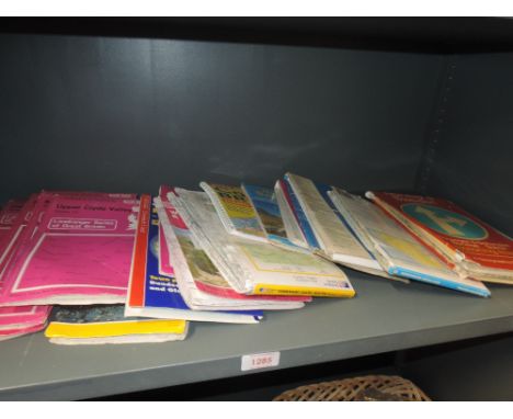
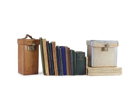
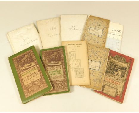
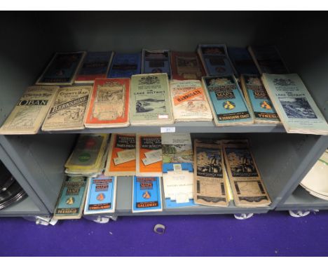
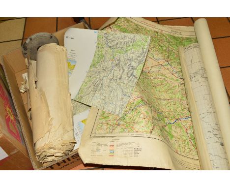
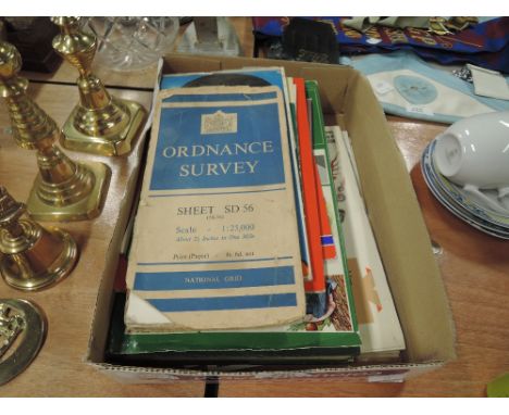
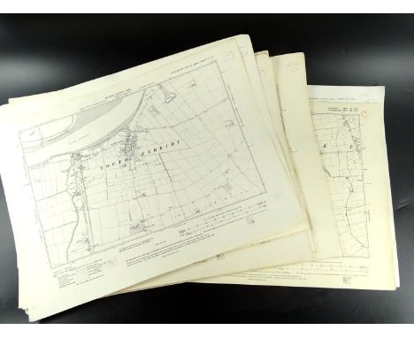
![[MAPS] Six 19th century Ordnance Survey one-inch sheet maps.](https://cdn.globalauctionplatform.com/1671b6e3-48bb-41c7-9a0b-a9d200fb622d/bbd86dcf-f09a-43ad-a926-a9e700dca677/468x382.jpg)
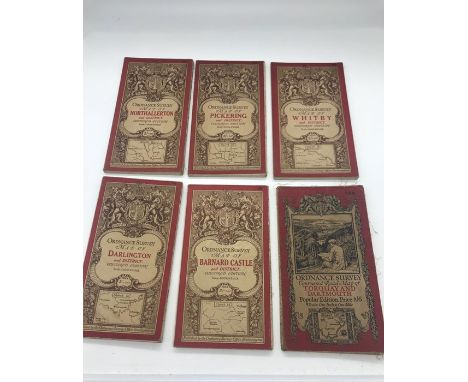
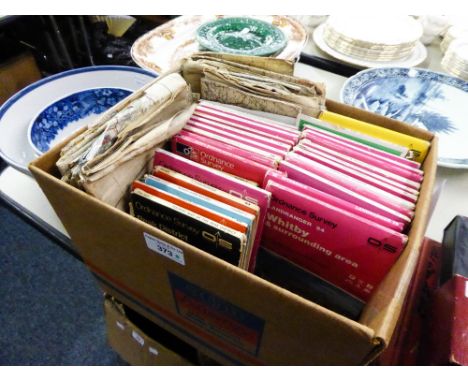
![[MAPS] Fifty-four Ordnance Survey one-inch folding maps, (some duplication; box).](https://cdn.globalauctionplatform.com/1671b6e3-48bb-41c7-9a0b-a9d200fb622d/757b4667-ae10-4403-a91e-a9e700dc9723/468x382.jpg)

Lot 93
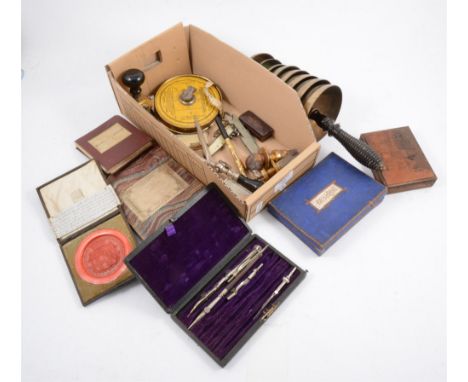
A brass bodied ballistic chronograph, the 27” plain tube inscribed 'Designed by Colonel Holden. Made by Pitkin and Co, London 1912, number 108', Boulenge type, with adjustable measuring capsules on a heavy levelling tripod base, the instrument used for ordnance and gunnery for the accurate measurement of the speed of ammunition projectiles, 75cm high, contained within a case bearing brass plaque inscribed 'Designed by Colonel Holden, Made by Pitkin and Co, London number 120', the case 81cm long, 36cm wide, 30cm high
Lot 110
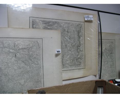
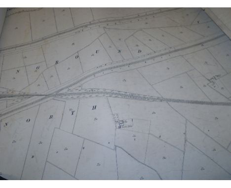
19 18-19TH CENTURY MAPS INCLUDINGRAMSAY, ANDREW C. Geological Map of the British Isles. Edward Stanford, 1878, hand-coloured folding map, slipcase; Rocque, John The Traveller's Companion of the Post Roads of England and Wales. Robt. Sayer, 1786, engraved map, divided in sections backed on linen, hand-coloured in outline, slipcase; Seaton, Robert Seaton's Map of Palestine or the Holy Land. London: for Robt. Seaton, [c.1820 ?], hand-coloured engraved map, 84 x 98cm., folding into red half roan, worn; Index to the Ordnance Survey of the Counties of Fife and Kinross. Edinburgh, 1871, map in sections backed on linen, folding into green cloth; Vuillemin, A. Plan pittoresque de la ville de Paris. Paris, 1840, folding map, divided in sections and backed on linen, engraved vignettes; Geikie, Sir Archibald Map showing the Surface Geology of Ireland. [c.1892], coloured map, folding into blue cloth gilt; Geological Map of Scotland. 1892, folding into blue cloth gilt; Bartholomew, J.G. The Imperial Map of England & Wales. Fullarton & Co., [n.d.], folding map on 19 sheets, divided and backed on linen, no slipcase; Bartholomew, J.G. Bartholomew's Revised "half-Inch" contourned Maps. Scotland. 29 maps, folding into blue covers, in worn & repaired box; and 9 others (listed in Condition Report)
Lot 112
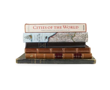
A COLLECTION OF FACSIMILE FOLIO ATLASES34 VOLUMES, INCLUDING Roy, William The Military Survey of Scotland 1747-55. 2007, slipcase; Bartholomew, J.G. The Survey Atlas of Scotland. 2012, slipcase; La Caille, J. de Description de la Ville et des Faubourgs de Paris. 1967, original wrappers, folder with ties; Blaeu, Jan The Blaeu Atlas of Scotland. 2006, slipcase; Ogilby, James Britannia. 1970, dustwrapper; Thomson, John The Atlas of Scotland. 2008, slipcase; Daniell, William Daniell's Scotland. A Voyage round the Coast of Scotland. 2006, 2 volumes, slipcase; Watelet, M. The Mercator Atlas of Europe. Walking Tree Press, 1998, cloth folder, slipcase; Camden, William Britannia. 1939; Goss, J., editor Blaeu's The Grand Atlas of the 17th Century World. Studio Editions, 1990, dustwrapper; Camden, William Camden's Britannia 1695. David & Charles Reprints, 1971, slipcase; Koeman, C. The History of Abraham Ortelius. Lausanne, 1964; & Theatrum Orbis Terrarum, 1964, 2 volumes, original cloth; Moll, Hermann Atlas of Scotland. Heritage Press, 1980, number 213 of 500 copies, quarter morocco, slipcase; Bevis, John Atlas Celeste. Alburgh, 1987; Bickmore, D.P. The Atlas of Britain and Northern Ireland. Oxford: Clarendon Press, 1963. Quarter morocco, dustwrapper; Cellarius, Andreas Harmonia Macrocosmica of 1660. The Finest Atlas of the Heavens. Taschen, 2006; Cellarius, Andreas Atlas Coelistis seu Harmonia Macrocosmica. Alburgh, 1987; Tooley, R.V. Blaeu's Atlas of England, Scotland, Wales and Ireland. London, [n.d.], number 199 of 500 copies, slipcase; Blaeu, Joan Atlas Maior of 1665. Taschen, 2006. 8 volumes, dustwrappers; Braun, G. and F. Hogenberg Cities of the World. Civitates Orbis Terrarum. Taschen, 2008, dustwapper; Krogt, P. van der Joan Blaeu. Atlas Maior of 1665. Taschen, 2005, dustwrapper; Ordnance Survey Civil Parishes & The Ordnance Survey maps of West Lothian, on the 6 and 25 inch scales, 1898, 35 maps backed on linen, quarter morocco; Slezer, John Theatrum Scotiae. 1979, number 236 of 500 copies, quarter morocco;Coronelli, V. Libro dei Globi Venice 1693 (1701). Amsterdam, 1969, unbound, loosely inserted into binding for Swarbeck's Sketches in Scotland; Ptolomeo, Claudio Cosmografia. Valencia, 1983; Lemoine, B. Gustave Eiffel. La Tour de Trois Cents Mètres. Taschen, 2006 (34)


-
12130 item(s)/page