We found 34771 price guide item(s) matching your search
There are 34771 lots that match your search criteria. Subscribe now to get instant access to the full price guide service.
Click here to subscribe- List
- Grid
-
34771 item(s)/page


Lot 365
Map of the Virgin Islands, for the History of the West Indies This map of the Virgin Islands was made by Bryan Edwards, a Jamaican planter and politician, for his 1793 publication describing the West Indies. The map covers the area between Puerto Rico`s eastern shore and Anguilla, Saint Martin, and Saint Kitts, with all of the major Virgin Islands shown, including Saint Thomas, Saint Croix, and Tortola. Dozens of smaller islands are named, as are various bays, harbors, and points. Published by John Stockdale. A nice impression issued folding. 6.9 W x 8.9 H Edwards, Bryan 1794


Lot 14
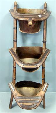
An unusual carved Rosso Verona marble planter possibly 17th/18th century 110cm.; 43ins high by 152cm.; 60ins long The unusual form for this with later fixing holes and scooped out planting/water recesses would suggest that this has been adapted at some stage to form part of an architectural scheme, or as a form of wellhead which would have had wrought iron overthrows.


Lot 811
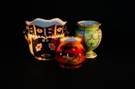
A Victorian majolica green moulded jardiniere and stand, height overall 95cm. Condition Report: The planter is heavily stained and crazed and there are several areas where the glaze has flaked off. The stand is in a similar condition though the crazing is less heavy. There is some glaze rubbing to the top where the planter sits. There is a firing fault to the inside.


Lot 38
Shaw (Robert). Visits to High Tartary, Yarkand and Kashghar (Formerly Chinese Tartary) and Return Journey over the Karakoram Pass, 1st. ed., pub. John Murray, 1871 lacking half-title?, four litho. plts. and two folding maps (complete as list), wood engraved illusts. throughout, 16 pp. publishers catalogue bound in at rear, ink library stamp on verso of title, cancelled library label to front pastedown, hinges cracked, pubs. dec. gilt cloth, upper joint partially split, a little worn at extrems., 8vo. Educated at Marlborough and Cambridge, Shaw settled in the Himalayas as a tea planter. Eager for adventure he decided to explore the country north of the Karakoram and set off in May 1868 for Eastern Turkestan, reaching Yarkand on 8 December and Kashgar on 11 January 1869. He became the first Englishman to visit these parts and would later return to the area to assist in establishing political treaties with the British. (1)


-
34771 item(s)/page