A collection of Ordnance Survey Maps and other Tourist Maps/Guides, including: Ordnance Survey Tourist Map of the Trossachs in Loch Lomond; Hexham and The Wall Country, by Fred Tait; A Guide To The Roman Wall, by R.G. Collingwood; A Corbridge Roman Station Northumberland Official Guide; Hadrian's Wall, by F.G. Simpson; and others, in one box.
We found 1765 price guide item(s) matching your search
There are 1765 lots that match your search criteria. Subscribe now to get instant access to the full price guide service.
Click here to subscribe- List
- Grid
-
1765 item(s)/page
FOLDING MAPS: PICKLES (G H, surveyor): 'County Borough of Burnley..also showing the parliamentary boundary, 1896..revised to 1909': published Nuttall & Co, Burnley: large folding engraved map with colouring, approx 103 x 78cm, original green cloth boards gilt lettered to upper: with 8 other folding 19th century maps, including some Ordnance Survey. (9)
Maps (3) old maps including "The reaches of New York City" 1939 by National Geographic Magazine; "The Royal Aimee Atlas of the British Empire" 1935 by John Knight, Royal primrose Soup Works; "War map of Far east, Libya & Egypt" News Chronicle (taped) (4) Geographical Magazines, Ordnance Survey Coventry & Rugby 1954 and Scotland War Office Edition Map - Ordnance Survey - sheet 5 - (Orkney Islands (North) Published 1948 - folded, good condition
Page (I.E.) Walks Round Alston, 16mo, original paper covs. enclosed by cloth binding, Carlisle, 1893, and another edition, published 1912; Penfold (Henry) Brampton and District: A Guide, 1901; Dickinson (George) Allendale Parish, 8vo, rebound in half-calf, first edition, 1886; James (Col. Sir Henry) Ordnance Survey Book of Reference to the Plan of the Parish of Allendale, lge. 8vo, illus. with map, 1862; and other Guides to places in Northumberland. (11)
EDWIN THOMAS DOLBY watercolour - view of Tenby harbour with castle, signed and dated 1856 (together with an 1832 ordnance survey map of town)Dimensions: 16.5 x 23.5cmsProvenance:private collection Cardiff, consigned via our Cardiff officeCondition Report:slight blemish(es), framed and glazed
Six large decorative pictures and prints:Richard Beer, 'Hotel de la Gare', 41 of 70 (38 x 46cm);Richard Beer, 'Boulangerie', 11 of 70 (54 x 40cm);Richard Beer, 'Trying Out Watercolour - Ribola July 5' (56 x 37cm);Continental landscape (35 x 44cm);acrylic on card still life (57 x 76cm);a laminated Ordnance Survey map centred on Weybridge (60 cm square);
ORDNANCE SURVEY. Very large map of Shropshire and the surrounding area on a scale of one inch to a mile. 2210mm by 1615mm (over 7 feet by 5 feet). On wooden rollers. Linen backed. Centred on Ludlow and extending from Whitchurch in the north to Monmouth and Gloucester in the South, and from Newtown and Builth Wells in the west to Wolverhampton and Cheltenham in the east. Retailers name plate of Sifton Praed and Co, The Map House, 67 St James's St, SW1
A collection of Ephemera including Military Ordnance Survey Maps small scale 1923, Map Kew Garden 1946, Foreign Bank Notes, WW2 double sided Silk Escape Map for Burma Siam French Indo China, Daily Telegraph War Map of Finland and Scandinavia with the Baltic States, The Popular Wireless Broadcasting Map of the World, Postcards and Photographs along with four large Photographs of the Atomic Energy Research Department 1948, in small leather case
Symons Alderman John: Kingstoniana. 1889 Hull. Folding map; other books and booklets of Hull interest; Victorian and later paper ephemera including newspapers, theatre programmes, letter headings and invoices, PDSA poster, sports programmes, social events, first day covers, Ordnance Survey maps, DVDs etcCondition Report:Condition varies dependent upon age but most in reasonable condition.Some rusting of staples to programmes etc
The Imperial Map of England and Wales according to the Ordnance Survey, with the latest additions showing clearly every feature of the country, Railways and their Stations, Roads, Canals, Rivers, Gentlemen's Seats etc., on the scale of 4 miles to an inch by John Bartholomew, and printed A. Fullarton & Co. London & Edinburgh. 19 linen backed sheets numbered 1-15 plus 16 A,B and C. together with a folded index sheet. Flat sheet size, 550x750mm, folded size 275x185mm. The collection with some foxing but in overall good condition, missing the lid to the leather bound case.
COLLECTION OF MAPS,including early 20th century Ordnance Survey, facsimile antiquarian maps, modern geological maps, two framed relief maps, a large world map by Aprim Graphic, France, approximately 2m x 4m, and four publications on maps including Maps of Yorkshire (Whitaker H. Ed.) and re-issue of Bartholemew's Motorist's Road Maps pub. Sandpiper Books 2013Deacon's Chart poor, torn, browned and heavily worn
Dorset & Hampshire. A collection of 21 maps, 17th - 19th century, engraved and lithographic county maps and town plans including Bill (John). Hant Shire, circa 1626, uncoloured engraved map, torn with loss to margins but not affecting the printed image, dust-soiled and stained, 90 x 125 mm, English text on verso, together with Blome (Richard). A Mapp of Hantshire circa 1673, hand-coloured engraved map. toned overall, slight mount staining, margins professionally restored, 300 x 260 mm, with Moll (Herman). Hamp Shire, circa 1724, hand-coloured engraved map with the vertical margins decorated with antiquities, 195 x 310 mm, with another copy similar, plus Morden (Robert). Dorsetshire [and] Hampshire [1695 or later], two hand-coloured engraved maps, each approximately 365 x 420 mm, with others similar including examples by or after Moule, Ordnance Survey, J & C Walker, Taylor, Cary, Harrison, Bacon and Smith, various sizes and condition, together with 3 uncoloured engraved topographical views by S. & N. Buck from their 'Antiquities' series, each approximately 195 x 370 mmQTY: (24)
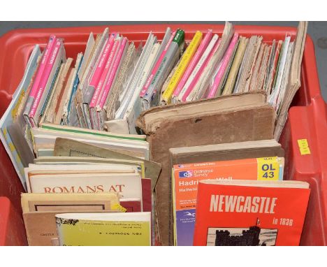
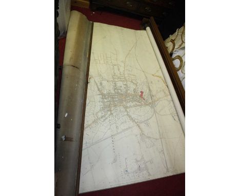
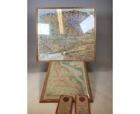
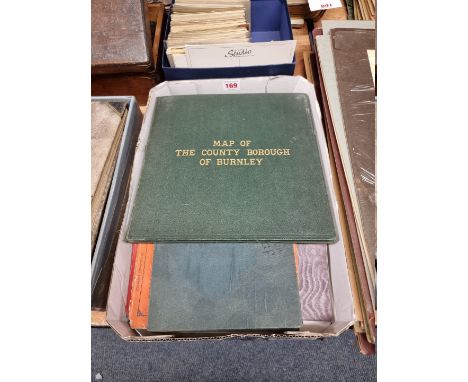
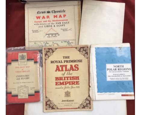
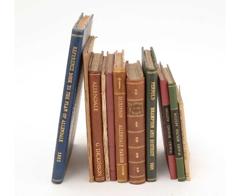
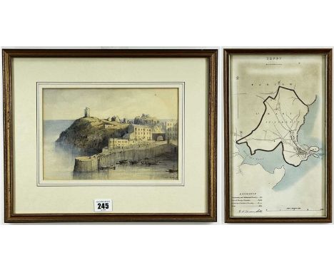
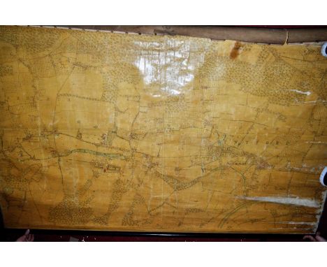
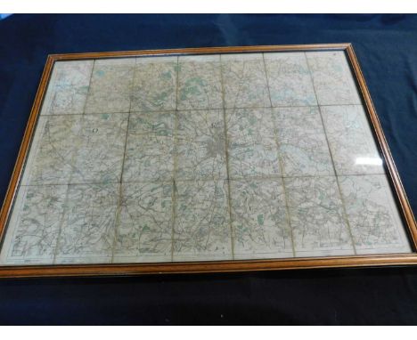
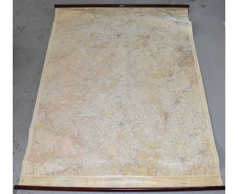
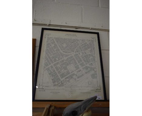
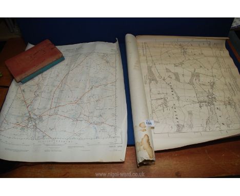
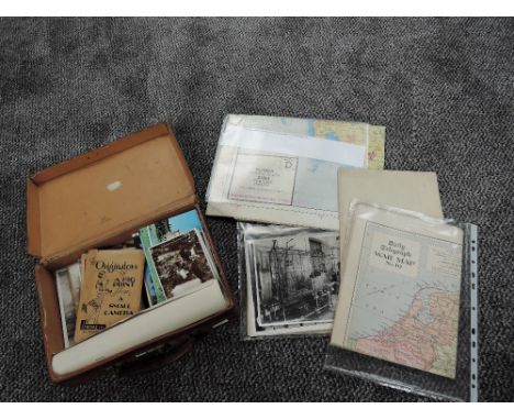
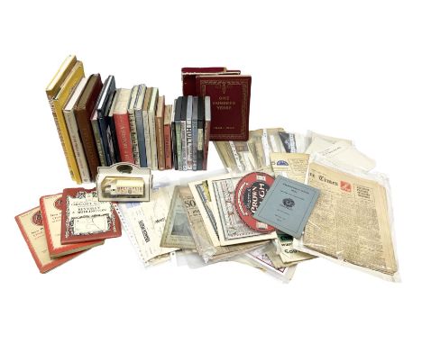
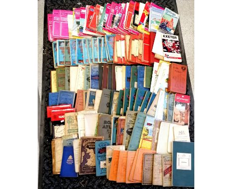
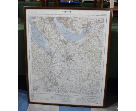
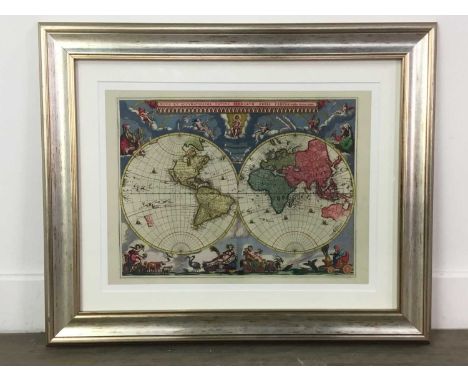
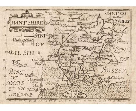
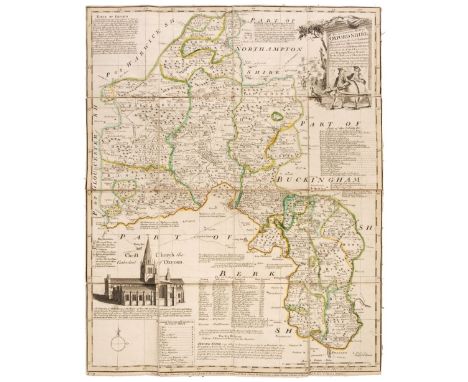
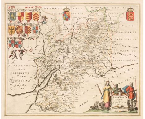
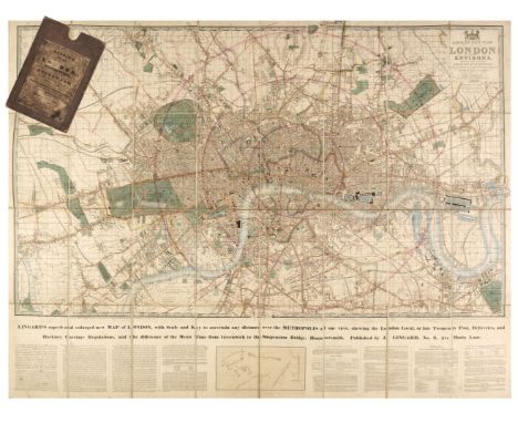
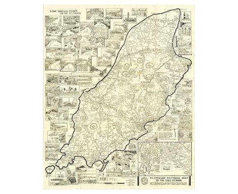
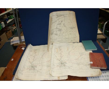
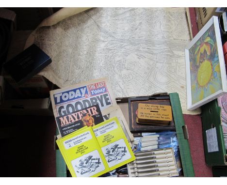
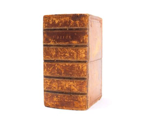
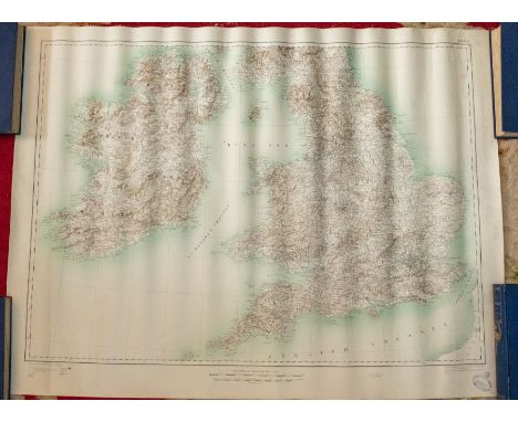
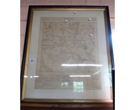
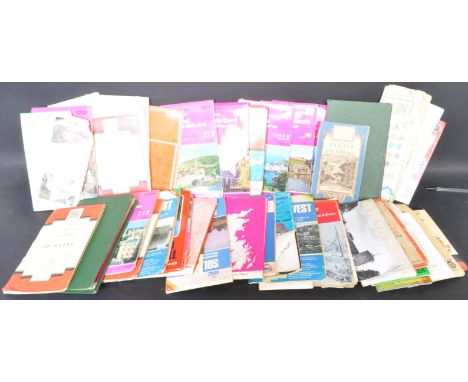
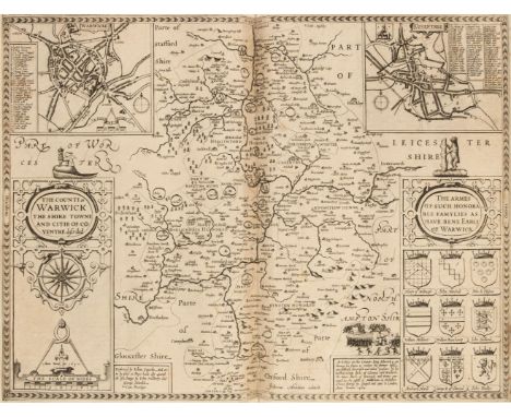
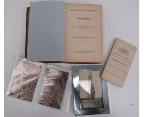
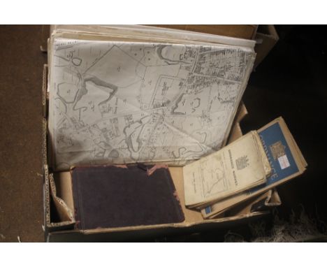
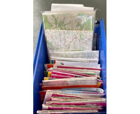
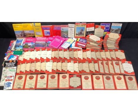
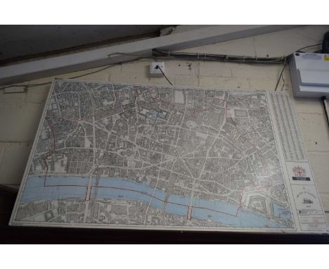
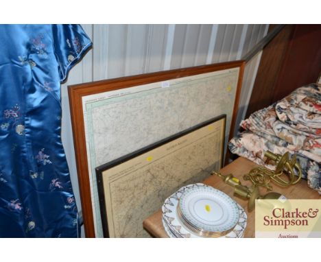
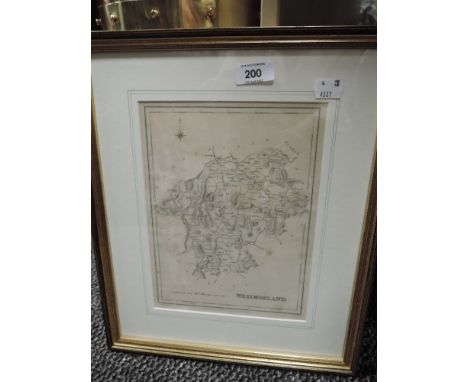
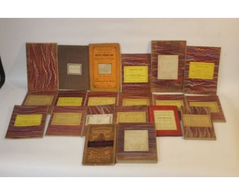
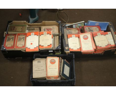
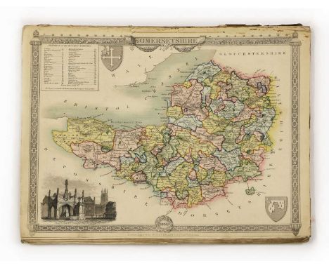
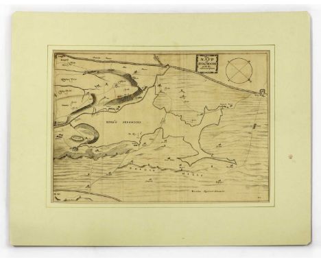
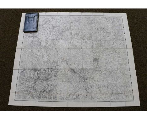
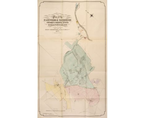
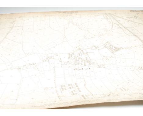
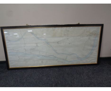
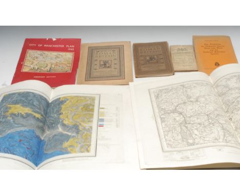
Folding Maps. A mixed collection of approximately 60 maps, 18th - 20th century, including Stanford (Edward, publisher). Bartholomew's "Half-Inch to Mile" Map of England & Wales, 37 parts (complete), circa 1905, 37 colour lithographic maps, sectionalised and laid on linen, each with publisher's printed paper endpapers, one map with frayed and torn endpapers, each approximately 520 x 640 mm, together with Bowen (Emanuel). An Accurate Map of Oxfordshire Drawn from the Best Authorities, Divided into Hundreds and Illustrated with Historical Extracts..., printed for Bakewell & Parker, J. Bowles & Son, T. Bowles, T. Kitchin, R. Sayer and J. Ryal, circa 1765, engraved map with contemporary outline colouring, sectionalised and laid on linen, 505 x 400 mm, contained in a contemporary marbled card slipcase with a manuscript title to the upper cover, slipcase faded and worn, with Hasted (Edward). A Compleat Map of the County of Kent taken from a late actual survey and accurately corrected to the present year, 1801, engraved map with contemporary outline colouring, sectionalised and laid on linen, slight staining, old rust holes to each corner (possibly caused by drawing pins), near-contemporary manuscript ownership signature (Captain Packe First Guards) to verso, 495 x 695 mm, plus Bowen (Emanuel). An Accurate Map of Northampton Shire Divided into its Hundreds...., J. Tinney, 1753, engraved map with contemporary outline colouring, some staining and dust soiling, 705 x 540 mm, contained in a contemporary marbled card slipcase, with publisher's printed title label to the upper cover, slipcase worn and frayed, and Cary (John). Cary's Reduction of his large Map of England and Wales, with part of Scotland..., 1832, engraved map with contemporary outline colouring, sectionalised and laid on linen, some staining and dust soiling, some damp staining to the verso, marbled endpapers, 755 x 625 mm, contained in a contemporary green marbled slipcase with a publisher's circular title label to the upper cover, slipcase frayed and worn, with another 23 folding British and foreign maps, including examples by or after Ordnance Survey, Hall, Macaulay, Brown & Sons, Bartholomew, Stanford, Waddington & Son, Burrows and Lizars, various sizes and condition, with Tallis (John & Co.). Ten pictorial maps (West India Islands, North America, Nova Scotia and Newfoundland, Falkland Islands & Patagonia, South America, East Canada and New Brunswick, West Canada (2 copies), Central America, New South Wales) circa 1860, engraved maps with contemporary outline colouring, each map decorated with uncoloured vignettes, some staining and spotting and short splits along the central fold, each approximately 265 x 330 mm, and Sutherland (T. & Havell D.). Fifteen engravings after C. G. Shutz, originally published in 'Views on the Rhine' R. Ackermann, 1819, aquatints with contemporary hand-colouring (Mentz, Cologne, The Castle of Furstenberg, Bacharach, Pfalz Castle and the Town of Laub, Thurnberg, Liebenstein, Braubach, Bornhofen, Boppard, Engers and Sayn, Andernach and Neuwied, Hammerstein, The Castles of Drachenfels & Rolandseck [and] Bodesberg and the Severn Hills, some spotting, staining and dust soiling, each approximately 240 x 290 mmQTY: (approx. 86 )
Gloucestershire. Blaeu (Johannes), Glocestria Ducatus vulgo Glocestershire, Amsterdam, circa 1648, engraved map with contemporary outline colouring, large decorative cartouche and mileage scale, 410 x 495 mm, Latin text on verso, together with Blome (Richard). Gloucestershire. T. Taylor, circa 1717, engraved map with contemporary outline colouring, torn with slight loss along the central fold, tipped on to later thin card, 255 x 195 mm, with Ramble (Reuben). Glocestersh. [1821 - 1844], hand-coloured engraved map surrounded by lithographic vignettes, 195 x 160 mm, mounted, plus Van der Aa (Pieter). Glocester Glovernia Claudio Cestria, Leiden, circa 1730, uncoloured engraved city plan, set within an engraved 'picture frame' border alongside three topographical views, overall size 235 x 410 mm, and Whittaker (G. & W. B. publishers). Glocestersh. 1821, map with contemporary outline colouring, engraved by Neele & Son, 180 x 145 mm, with another 9 regional & historical maps and town and city plans, including examples by or after Dawson, Ordnance Survey, Tovey/Griffith, Wall, Taylor, Miller and Lysons, various sizes and condition, together with 9 topographical engravings of Gloucestershire, including examples by S & N Buck, Wickes, and Kirk, various sizes, good condition QTY: (23)
London. Laurie (Richard Holmes, publisher), Laurie's New Plan of London and its Environs, with an Improved Scale for Ascertaining Distances..., by John Lingard No. 3 Maria Lane, London, being an Original Survey by John Outhett, with all the recent Improvements, 1846, engraved map with contemporary outline colouring, sectionalised and laid on linen, new title pasted over old printing, additional title - "Lingard's Superb and Enlarged New Map of London with Scale and Key to ascertain any Distance over the Metropolis...," and explanatory text below the map, very slight staining, cloth endpapers, 820 x 1090 mm, contained in a contemporary cloth slipcase with a printed label to upper cover, worn and a little bumped, together with three mid-19th century Ordnance Survey maps of Staffordshire, Nottinghamshire and South Yorkshire, two with contemporary outline colouring, all contained in contemporary morocco slipcases and bindings, various sizes, good conditionQTY: (4)NOTE:The first described item. James Howgego. Printed Maps of London, no. 361, state 7.
A pair of local interest 19th Century lithographs of Palgrave Rectory, and Palgrave Church, both W. Browne lith, Norwich, both approx 39 x 56cm, both with closed tears and chips; together with four early 20th Century Suffolk Ordnance Survey map sheets including Eye, Aspall, Southolt etc (6)
Collection of ephemera, to include Little Langford plan, Ordnance Survey of Wiltshire, 1901 map of South America, 1935 letter to the Owner of Ashley Cottage asking to be the agents to sell the home, early 20th Century Christmas cards, an Oriental style print, Victorian magazine, an 1863 copy of the Telegraph, 1806 Copy of the Times, Vamping Chart, Wightman's etc, (qty)
Original vintage motor racing poster H.G. Steward Large Scale Pictorial Map of the Isle of Man showing T.T. Course & Vantage Points, roads, railways, villages and street plan of Douglas including 70 illustrations of some of the many places of interest throughout the island. Designed and published by H.G. Steward. Based upon the Ordnance Survey Map with the sanction of the Controller of H.M. Stationery Office. Printed by Bridson & Horrox Limited. Good condition, folds as issued, creasing, staining, folds down into booklet. Country of issue: UK, designer: HG Steward, size (cm): 57x45, year of printing: 1960s.
Assorted volumes to include:-"Hertfordshire Illustrated Review", vol 1, 1893, marbled ep, half-calf over boardsKnight, C & Smith P "The History of England", A Fullarton 1879, marbled ep, marbled edges, half-leather with gilt titles and assorted volumes on gardens, topography, Observer books, collecting, etc and an Ordnance Survey map on linen 'Ruislip Parish' (1 box) Condition ReportPlease see additional imageMap folds into covers
DEVON ORDNANCE SURVEY: ... The Second Part of the General Survey of England and Wales containing the whole of Devon and a portion of the adjoining Counties. Done by the surveyors of His Majesty's Ordnance, under the Direction of Lt. Col. Mudge - Large folding map in seven sections dissecting in to 24 segments to each section and mounted on linen. In original calf book box which is well rubbed. Overall size 2450 x 1850 mm, however two of the maps have been trimmed in the sea areas reducing the size of those two maps ( sheets 24 & 27 ) although none of the printed map is missing. Sheets 20, 21, 22, 24, 25, 26. 1809. * The earliest ordnance survey of Devon
A collection of vintage 20th century O.S (Ordnance Survey) British maps. The lot to include maps or varied areas and scales, some also mounted on cloth. Including Ordnance Survey On-inch map of Great Britain Torquay, scale one inch to one statute mile 1/63360, Ordnance Survey Oxford & surrounding area, scale 2cm to 1km, RAC South East, including maps of London, Brighton, Canterbury, Dover, Portsmouth, Folkestone, Windsor, scale 3 miles to 1 inch, and more.
Warwickshire. An album containing maps of Warwickshire, 17th - 19th century, engraved maps by or after Speed, Jansson, Blaeu, Saxton/Kip, Blome, Jefferys, Moll, Seller, Badeslade & Toms, Harrison, Van den Keere and Ordnance Survey, mostly uncoloured and partially or wholly laid onto an album sheet, the Ordnance Survey map is 16 sheets on a scale of 1 inch to 1 mile, 2 copies of the Saxton/Kip (both appear to be the 1610 edition, 2 copies of the Blome and the John Speed is the 1st edition with thread margins, occasional duplicates, various sizes and condition, all bound in a late 19th century half morocco album, boards worn and stained, slight wear to extremities, folio QTY: (1)
WW1 Period Military Postcards 30 various coloured and black and white postcards including various bombed towns and villages. Together with modern framed postcard of a German memorial ... 1906 dated Ordnance Survey map of Lymington with stamp for Staff Officer For Defence Portsmouth ... """"Regulations & Instructions For The Royal Artillery 1850"""". Leather covered book. Spine damaged and front cover loose. PAYMENT BY BANK TRANSFER ONLY
A Masonic collar with assorted badges, Sussex, Grand Lodge, others; a Buffalo pin and cloth badge; a camera cigarette lighter; a Victorian silver open face pocket watch, Roman numerals, seconds dial, J Pepper Derby retailer's mark, London 1886; pen knives; a pocket compass; a cigarette case; an Ordnance Survey map, The Peak District, on cloth; etc
A SMALL COLLECTION OF FOLDING MAPS MAINLY LINEN BACKED ORDNANCE SURVEY to include 1:2500, 1:63360, various areas together with W. H. Smith & Son's reduced Ordnance Map of Norwich and Environs, Scale 4 miles to an inch, and Cruchley's Reduced Ordnance Map of Cornwall (20)1:63660 maps are sheet numbers 78, 84, 94 and 186
1- Moule: Moule's English Counties: Somersetshire, 1838, new edn. Title page, full text Plus 4 hand-coloured maps: Somersetshire, Plan of the city of Bath, Environs of Bath & Bristol, & Wiltshire. Each with an insert view, Disbound, in a specially made clamshell box; 2- Cox, T: Magna Britannia et Hibernia: the Somersetshire section, with a facsimile title page of the 1720-31 edn.this c1795. Containing the text and a folding map. PP: 721-912. Original plain boards and recent clamshell box.; 3- Cary/Cruchley: Somersetshire, Cruchley's county map of Somerset showing all the railways and names of stations.. Publ. by Gall & Inglis. In a recent clamshell box; 4- Ordnance Survey map, Old Series XIX Bridgewater. Published in 1817, this electrotype 1867. Folding, linen-backed with the original slipcase (4)Provenance: From a private Somerset map collection.
Estate Sale Catalogues. Five estate sale catalogues from Herefordshire, late 19th century & early 20th century, including The Harewood Estates, Auctioned by Farebrother, Ellis, Clark & Co., July 1877, two tint stone lithographs of the main house, large colour lithographic folding map of the whole estate, decorative publisher's paper wrappers with some dust soiling, slim folio, with Holme Lacey, Auctioned by Knight Frank & Rutley, 29th July 1909, frontispiece of a double-page Ordnance Survey map of the area surrounding the property, some creasing and two closed tears affecting the printed image, numerous uncoloured gravures of various properties within the estate, details of acreage, tenants and rent, publisher's paper wrappers, stained, dust soiled and frayed, slim folio, with an additional smaller auction catalogue containing a lithographic folding map of the whole estate, 4to and a separate folder containing two large folding maps of the estate, plus Eaton Bishop, Kingstone & Madley, Auctioned by Messrs. Stooke & Son, 7th June 1905, two large folding colour lithographic maps of the estates, details of acreage, tenants and rent, publisher's printed paper wrappers, slim folio, with another untitled folding estate planQty: (5)
Cartography - Nottinghamshire - Ordnance Survey - a map of Mansfield Town Centre, supplied by Edward Stanford, Longacre, London, Cartographer to the King, sheet XXIII, published 1912, paper laid on cloth; others, Shirebrook Planning for Railway, first edition, 1875; Annesley Woodhouse; Mansfield/Woodhouse/Sutton/Skegby; Pleaseley, 1875; etc (27)
Captain Richard Brydges Beechey , RHA (1808-1895) "Sybil Head, Near the Blaskets and Dingle, West of Ireland 1884," O.O.C., 76cms x 115cms (30" x 45"). (1) One of Beechey's finest marine paintings, Sybil Head depicts three currachs braving rough seas beneath jagged rocks at the north west tip of the Dingle Peninsula. To the left, a sailing vessel, perhaps a naval brig, bears down on the currachs, while to the right a hooker approaches from Ferriter's Cove. Cormorants take flight and seagulls land on the rough seas. A floating tree trunk lies in the path of the brig; Beechey used details such as these to introduce a sense of danger to his paintings. To the right, a mountain, one of the 'Three Sisters', is silhouetted against the stormy sky. The subject of this painting, and the Dingle peninsula itself, had become well-known to a wider audience in the 1840?s through the work of both the Ordnance Survey and the Geological Survey of Ireland. In June 1856, the geologist George Victor du Noyer surveyed the peninsula, incorporating watercolour views of Sybil Head in his maps. He also painted two dramatic views on Inishtooskert, an island near Inish Tearaght, of sharply angled cliffs on the northern side of the island. (these watercolour map are in the collection of the Geological Survey of Ireland). Born in London in 1808, the son of artists Sir William Beechey RA and miniaturist Anne Jessop (Lady Beechey), Richard Brydges Beechey was a naval officer who also became one of Ireland?s most accomplished marine painters. Aged thirteen he enrolled as a cadet at the Royal Naval College in Portsmouth, where art formed part of his training. Joining HMS Blossom in 1825, he served as a midshipman under his older brother, hydrographer Captain Frederick William Beechey, for three years in the Pacific. During this time, Richard Brydges painted watercolour views of Mexico and California. Landing on Pitcairn Island, he sketched a portrait of John Adams, last surviving mutineer from HMS Bounty. They then sailed north, into Arctic waters, as far as the Bering Straits, but failed in their objective of meeting up with Franklin?s second expedition, which was making its way north-west around Canada. Although it is generally stated that Beechey transferred to the Survey of Ireland in 1835, the chart of Lough Derg is titled ?Surveyed by Commander James Wolfe, Assisted by Lieutenant R. B. Beechey 1830?. This marked the beginning of years of surveying the coast and rivers of Ireland. As well as surveying, Beechey painted consistently, exhibiting both at the Royal Academy and the Royal Hibernian Academy. Seven years later, the survey of Lough Ree was complete, and their attention turned to the more hazardous West of Ireland coastline. Prompted by dangers they had encountered in navigating the coast of Cork and Kerry, Wolfe?s report, published in 1846 ?On the want of Lights, Buoys and Beacons on the Coast of Ireland? led to the building of new lighthouses on Sybil Head and at other locations. Although Beechey painted this view of Sybil Head decades later, he would likely have used notes and sketches made during his survey of the Kerry coast in the early 1840?s. After retiring from the Navy in 1864, with the rank of Admiral, Beechey settled for a time at Monkstown, Co. Dublin and four years later was elected HRHA. In 1874, he was living at 110 Pembroke Road, and in that year painted Eagle Island, off Erris Head, West of Ireland, a work exhibited a decade later at the Royal Hibernian Academy. By 1885, he was living at Plymouth, where he continued painting. There are works by Beechey in collections both in Ireland and abroad. His Mail Boat ?Connaught? is in the National Gallery of Ireland, while a view of the Blasket Islands is in the Royal St. George Yacht Club, along with a panoramic view of Kingstown Harbour. Fastnet Rock, and Lights, off Cape Clear, shown at the RHA in 1877, is now in the collection of the Royal Ocean Racing Club, while HMS Erebus passing through the chain of bergs (1842) is in the Maritime Museum in Greenwich. Provenance: The Joe McGrath Collection, Cabinteely House, Dublin. Dr. Peter Murray, 2022
Cartography - Nottinghamshire - Ordnance Survey - a map of Mansfield Town Centre, supplied by Edward Stanford, Longacre, London, Cartographer to the King, sheet XXIII, published 1912, paper laid on cloth; others, Shirebrook Planning for Railway, first edition, 1875; Annesley Woodhouse; Mansfield/Woodhouse/Sutton/Skegby; Pleaseley, 1875; etc (27)
Maps, GB - a collection of late 18th century and later maps, including A New Map of the Country Round Manchester, London: Published July 22, 1794, by John Stockdale, Piccadilly, hand-coloured copperplate engraving, 82cm x 86cm, (1); other maps of Manchester and Salford, three 19th century and one 20th century, various sizes, (4); Ordnance Survey, Derbyshire, Sheets 81 (geologically coloured), 99, 100, 111, 112, mid-19th century and later, engravings, 46cm x 61cm, (5); Ordnance Survey: Sheet 95: Chipping Norton/Woodstock/Bicester, 1907, original folding canvas wrapper, (1); map plates and frontispieces from 19th century publications, various; 20th century Roman Britain; etc., [1 box]
Cartography - Derbyshire and Nottinghamshire - Ordnance Survey - a collection of maps and plans, including West Notts Town Map, Sutton-in-Ashfield, Sheet No.2; Glossop; Ladybrook Place, Application for Justices Off Licence; Longdale Lane, Ravenshead; Cooperative Society High Street Edwinstowe; Derbyshire and Nottinghamshire, sheet no. XXXVI and XXVII; many others, contained within a, "Arclight" filing cabinet, by E N Mason & Son, Colchester, overall dimmensions 131.5cm high, 89cm wide, 55cm deep
Harleston - 'Notes on the Parish of Redenhall with Harleston', by Charles Candler, 1896, 1st edition, Loosely inserted a letter of 1894 asking about the acreage of Harleston and an early 20th Century photographic postcard of Candlers, Harleston. Together with an Ordnance Survey map of Harleston, 1909 and sale particulars of a freehold estate to be sold by Robert Borrett, Harleston, 1892.

-
1765 item(s)/page