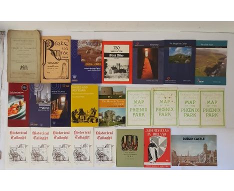
Dominic Winter Auctions
Lot 44
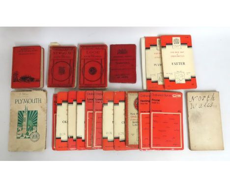
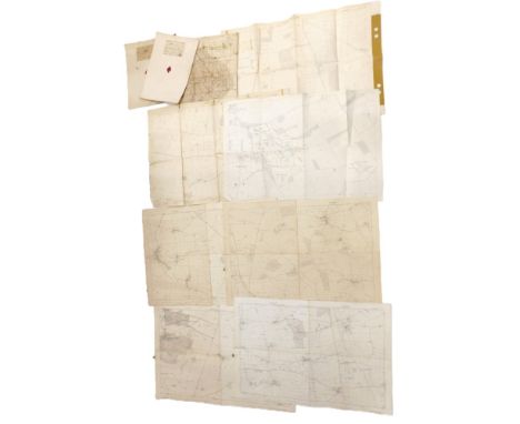
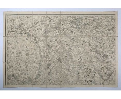
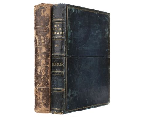
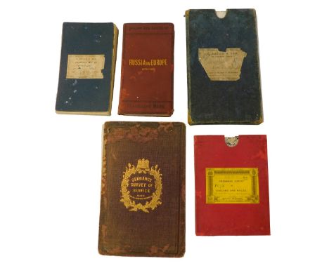
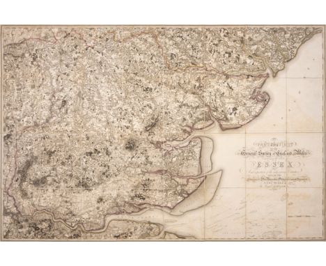
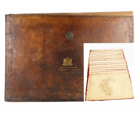
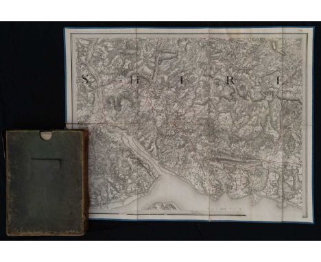
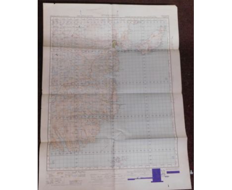
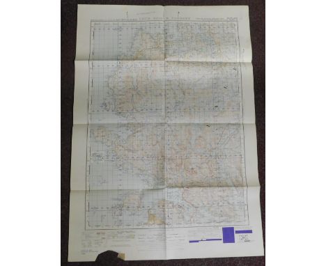
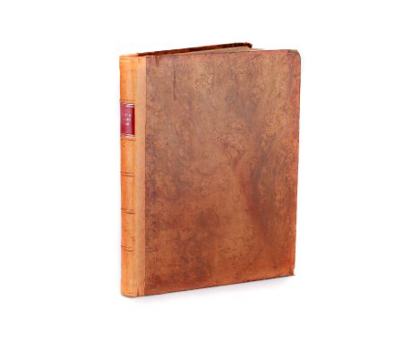
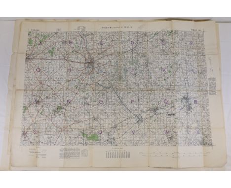
Priestley (Joseph). Historical Account of the Navigable Rivers, Canals, and Railways, of Great Britain, as a reference to Nichols, Priestley & Walker's New Map of Inland Navigation, London: Longman, Rees, Orme and Green, G & J Cary and Wakefield: Richard Nichols, 1831, printed title and dedications, bound at the rear is a folding engraved plate of cross sections through canals with contemporary wash-colouring, some staining, hinges cracked, contemporary half calf, heavily worn and rubbed, 4to, Walker (John). Map of the Inland Navigation, Canals, and Rail Roads with the Situations of the various Mineral Productions throughout Great Britain, from actual Surveys Projected on the Basis of the Trigonometrical Survey made by order of The Honourable The Board of Ordnance..., published Richard Nichols, Wakefield, January 1st, 1830, very large engraved map with contemporary hand colouring, sectionalised and laid on linen, large calligraphic title and dedication, compass rose and table of explanation, inset map of Scotland, slight staining and spotting, edged in blue silk, marbled endpapers, 1920 x 1560 mm, contained in a contemporary calf book box, worn and rubbedQTY: (2)

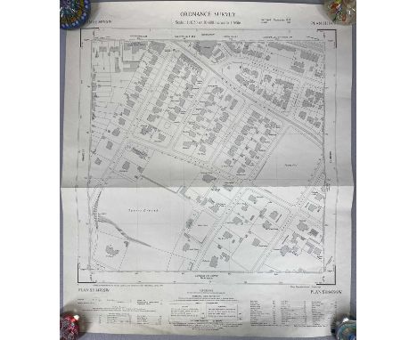
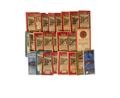
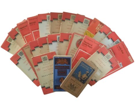
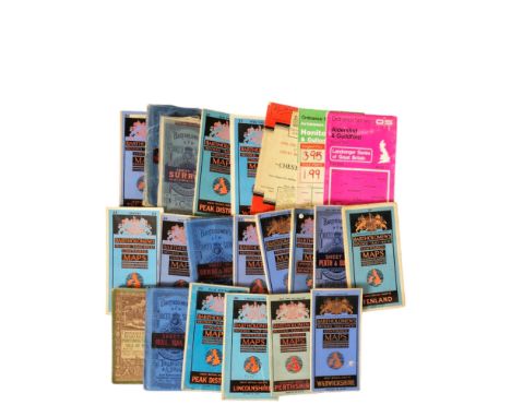
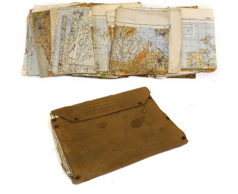
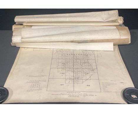
![England & Wales.- Ordnance Survey.- [Ordnance Survey of England and Wales, on the Scale of One Inch to a Mile], 81 map sheets](https://cdn.globalauctionplatform.com/9b60799e-9906-42b6-a5f7-b29d0101d393/a5ca0b65-0740-499e-b698-b29d01252268/468x382.jpg)
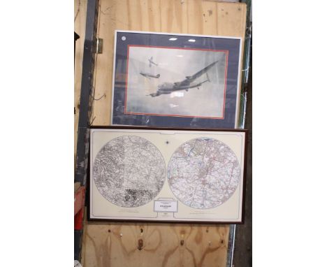
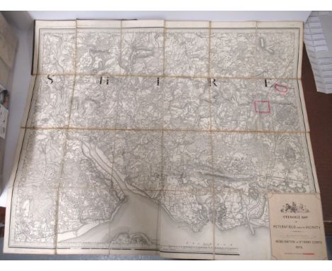
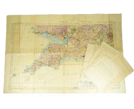
![[ Cumbria ] An Ordnance Survey map of the Lake District, 1958, in contemporary wooden frame under glass, 108 cm x 89 cm overa](https://cdn.globalauctionplatform.com/1e7022d6-f976-4005-9170-b28a00c116a8/f038855e-0e8f-4e0f-9c69-b28b015d7344/468x382.jpg)