We found 1765 price guide item(s) matching your search

Refine your search

Year

Filter by Price Range
  • List
  • Grid
  • 1765 item(s)
    /page

Lot 132

Dower, J. after Creighton, R. A Map of England and Wales divided into Counties, Parliamentary Divisions, and Dioceses...Survey made under the direction of The Honorable Board of Ordnance On a Scale of Five Miles to an Inch and Corrected to the Present Time. S. Lewis, [c.1845]. Hand-coloured in outline, in four divisions, each division separately dissected and laid down on linen and folded into publisher's green roan folders.

Lot 522

Ordnance Survey - Townland Survey of The County of Galway, and the County of the Town of Galway, Framed, 34x46 (frame size) & Tim Robinson, (Print) Map of Connemara, Framed, 32x42 (frame size) (2)

Lot 431

Irene Sinclair, Landscape Watercolour titled ' From the Red Rocks ', 36cms x 51cms, framed and glazed together with Impressionist Landscape Watercolour indistinctly signed, 17cms x 18cms, framed and glazed and Ordnance Survey Coloured Geological Survey Map of North Wales, reprinted 3rd impression 1968, 52cms x 75cms, framed and glazed

Lot 1324

Ordnance Survey map of Manchester, folding, 1901, part of sheets 85, 86, 98, 99, 110 and 111, approx 580 x 600mm, original limp maps worn

Lot 1322

Ordnance Survey Essex, engraved hand coloured map, 1843, folding, backed onto linen, approx 620 x 940mm, slip-case

Lot 420

A group of vintage maps to include ordnance survey together with some books to include The contour road map of England and a Bartholemews Atlas.

Lot 9

Touring & Ordnance Survey. A mixed collection of approximately sixty five maps, mostly 20th century, O rdnance Survey, cycling and touring maps, including examples by Bartholomew, Bacon, W. H. Smith, Ordnance Survey and Gall & Inglis, together with twenty-three (complete) touring maps by Bartholomew contained in a leather carrying case, some wear, plus three large scale rolled maps including a map of Great Britain showing accessibility of towns determined by bus routes, a large scale Ordnance Survey map of Eastwood in Nottinghamshire (coloured) and a large scale Ordnance Survey map of Derbyshire, Nottinghamshire and Lincolnshire (waterstained and damaged), with Bartholomew (J. G.). The Royal Atlas of England and Wales, circa 1895, seventy colour lithographic maps, slight staining and spotting throughout, hinges and joints broken with text block detached, contemporary half morocco gilt, heavily worn and stained, folio, plus two copies of Stanford's Library map of London and its Suburbs , and 'Le Monde dans votre main', circa 1935, with a volume on the paintings in the collection of W. M. Mensing, various sizes and condition (Qty: approx. 70)Sold as a collection of maps, not subject to return

Lot 345

A geological survey map of Great Britain, in strip frame, and a reproduction Ordnance Survey map, First Series Sheet 270 Oxford, in strip frame

Lot 15

Collection of 4 sets of Ordnance Survey postcards. Includes Isle of Man, Hertford & St Albans, Dunoon & the Clyde and the District map. Good Condition. All signed pieces come with a Certificate of Authenticity. We combine postage on multiple winning lots and can ship worldwide. UK postage from £4.99, EU from £6.99, Rest of World from £8.99.

Lot 192

Benjamin Baker (second-quarter, 19th century), after, a twenty-one fold map, of the border of Derbyshire, Nottinghamshire and Leicestershire, Published at the Ordnance Survey Office, Tower of London, 8th Feb:y 1836 by Lieut. Colonel Colby, Royal Engineers, Sold by Letts, Son & Co, 8, Royal Exchange, [London] E.C [...], Agents by Appointment for the Sale of Ordnance Maps, engravings laid on canvas, hand-coloured delineations, 63.5cm x 82.5cm

Lot 2622

Original vintage ordnance survey map for Chelsea and Kensington in Greater London - Sheet TQ 27 NE Greayer London. Key below with information on how to read boundaries, roads buildings and travel routes. Good condition, creasing, staining, small tears in margin. Country: UK, year of printing: 1967, designer: Unknown, size (cm): 67x56

Lot 2737

A 1962 office ordnance survey map of Kingston-Upon-Hull, Doncaster, Nottingham and Lincolnshire scale 1" to 1 mile. Approximately 67 x 68"

Lot 154

Yorkshire. A collection of ten folding maps, 18th & 19th century, including Darton (William & Son). The County of York, divided into its Ridings with their Subdivisions..., [1835], engraved map with contemporary outline colouring, sectionalised and laid on linen, large uncoloured vignette of the South East View of York, slight overall toning, 595 x 715 mm, map maker's advertisement to front pastedown, bound in publisher's cloth gilt boards with gilt title to upper siding, slight wear to extremities, together with Hall (S.). Yorkshire [1842], engraved map with contemporary outline colouring, sectionalised and laid on linen, slight dust soiling, 255 x 370 mm, bound in contemporary cloth gilt, with another copy similar, plus Morden (Robert). The West Riding of Yorkshire, circa 1695, uncoloured engraved map, sectionalised and laid on linen, marbled endpapers with manuscript label to upper cover, with Camden (William). [Britannia.., published William Gough, 1806], the section of text and maps on Yorkshire, containing four uncoloured folding engraved maps by John Cary and seven engraved plates, index bound at rear, ink annotations to verso of front endpaper, 19th century quarter morocco gilt, slight wear to extremities, slim folio, with another five folding maps similar, including examples by Ordnance Survey, Newton, Collins, Bartholomew and Cameron & James, various sizes and condition (Qty: 10)

Lot 111

Essex. Untitled Ordnance Survey map, sold by Edward Stanford Ltd. 1914, large engraved map with bright contemporary outline colouring, sectionalised and laid on linen, marbled endpapers, 1440 x 1600 mm, contained in a contemporary red cloth slipcase with manuscript label to upper board and spine, slipcase water stained and faded (Qty: 1)

Lot 362

Georgian walnut framed wall mirror, framed Ordnance Survey map of Hadrian's Wall and three various wall mirrors (5)

Lot 600

A collection of vintage postcards to include topographical scenes, military, school scenes, Wootton Bassett Charabang, humour tourist, portrait and other along with vintage Ordnance survey map etc

Lot 646

Newspapers mainly of WWII interest including D Day, Winston Churchill's death, moon landing and King Edward's abdication and an Ordnance Survey map of Bedfordshire and surrounding counties 

Lot 553

Ordnance Survey Coloured Geological Survey Map of North Wales, reprinted 3rd impression 1968, 52cms x 75cms, framed and glazed

Lot 133

A framed ordnance survey map of Suffolk, 72 x 104cm, together with a pair of prints of Lord Nelson (3)

Lot 2

1930s London Transport MAP 'London Traffic Areas' with the London Passenger Traffic, London Traffic and Metropolitan Areas and Metropolitan Police District boundaries shown in different colours, as well as Underground and main-line railways. All superimposed on an Ordnance Survey map. Undated but likely mid-1930s. Framed behind glass. Measures 26" x 30" (66cm x 76cm) in total. In very good condition. [1]

Lot 260

A printed paper, linen backed, rolled wall map, featuring Central London and Suburbs, as administered by The London Master Builders Association, incorporating London Employment Exchanges, based on the Ordnance Survey, to a scale half mile to the inch, showing regional boundaries, in connection with Working Rule 6 travelling allowances, copyright Geographia Ltd and printed for Edward Stanford Ltd 67'' x 62'' RSF

Lot 46

ORDNANCE SURVEY OF EDINBURGHSHIREFINELY BOUND SIX INCH FIRST EDITION MAP OF THE EDINBURGH AREA Southampton: Ordnance Map Office & Lt. Col. H. James, [1853-1855]. Elephant folio, with index sheet, double page maps showing battle sites, another view of Edinburgh and the Firth of Forth, with 24 (of 25) sheets (sheet 21, mostly blank, lacking; sheets 8, 17, 20 & 24 each lacking one half which is usually blank); [bound with] Kerr, R.E. Ordnance Plan of the Parishes of Dalmeny and Cramond. Southampton: The Ordnance Map Office, 1856. Comprising a selection of 12 double-page hand-coloured sheets from the map; impressive brown morocco gilt by Wiseman with a gilt acanthus border and the arms of Trinity College Cambridge to the upper cover, and a scallop shell and cross border overlaying the acanthus motif border on the lower cover, with scallop shell motifs and arms depicting scallop shells within a St Andrews cross to the lower coverProvenance: Given to A. Pringle of Trinity College Cambridge in 1858 as a Latin declamation prize

Lot 1035

EDWARD STANFORD: NORFOLK, large scale map from Ordnance Survey circa 1900, folding backed onto linen, approx 1010mm

Lot 333

An early 19th century Ordnance Survey map of the Isle of Wight and Part of Hampshire, by Benjamin Baker & Assistants, published by Lt. Col. Madge, Tower, 63.5cm by 95.5cm

Lot 3720

Francis Aegidius Assiotti (fl.1759 - 1782), an engraved and coloured map of Minorca [Menorca}, To the Right Honble. John Earl Spencer, Viscount Althorpe, &c. &c. &c This General Plan of the ISLAND OF MINORCA, From an Actual Survey taken on the Spot. London : Published according to Act of Parliament 1st. Feby. 1780, by Francis Ãegidius Assiotti, late draughtsman of the Ordnance at Minorca. : Sold by R. Sayer & I. Bennett Map & Printsellers, No. 53, Fleet Street., [1780.], laid down on panel and varnished, 35cm x 47.5cm

Lot 5144

An Edwardian mahogany inlaid mantel timepiece; a barley twist hat stand; an Ordnance Survey map; a brown attaché case; a framed map of England; etc

Lot 1024

A collection of 20th century coloured maps with Bartholomew's examples including Aberystwyth, English lakes, New Forest etc, ordnance survey examples including Reigate and Tunbridge Wells, The Peak District etc and further assorted including Pocket Atlas of the World by J. Bartholomew (binding af), Letts's Cycling Map of 50 Miles Round London etc, with further tourist and topographical ephemera.Additional InformationAll in worn condition to varying degrees, please judge from viewing or illustrations and request additional if necessary. 

Lot 246

* WWII Relics. A WWII Spitfire tail wheel, various markings including '4.00-3 1/2 Electrically Conducting, 26cm diameter, together with part of an Ordnance Survey of Great Britain Aeronautical Map of the South West of England, framed and glazed, inscribed verso 'Spitfire 140 Sqn crashed 24.4.42 at Winchelsea Sussex P/o CB Barber, Part of Pilots Map' additionally inscribed 'Based at RAF Benson No X4784', frame size 30 x 65cm plus a Hurricane tail wheel (Qty: 3)47734 Pilot Officer Charles Bertram Barber of Armthorpe, Yorkshire served during WWII with 140 Squadron, he was killed on 24 April 1942 and is buried in Finningley (Holy Trinity and St. Oswald) Churchyard Extension, Nottinghamshire

Lot 371

Late 19th century Ordnance Survey map showing land ownership in the Stallingborough Area and outlying villages

Lot 232

Geological maps. Geikie (Archibald), Geological map of England & Wales, reduced chiefly from the Ordnance and Geological surveys, published John Bartholomew & Co., circa 1875, colour lithographic map, sectionalised and laid on linen, table of reference, some spotting, occasional pencil annotations, 1020 x 850 mm, marbled endpapers, some fraying to endpapers, manuscript title label to upper cover, with another copy similar but retaining one cloth board, together with, G eikie (Archibald), Geological map of Scotland, published W. & A. K. Johnston, 1875, colour lithographic map, sectionalised and laid on linen, inset map of the Shetland islands, 860 x 585 mm, contemporary gilt decorated cloth boards, with another two similar copies with cloth boards (1892 & 1910 editions), plus, Ramsay (Andrew C.), Geological map of England & Wales, published Edward Stanford, 1859, engraved map with contemporary hand colouring, sectionalised and laid on linen, slight dust soiling, 930 x 810 mm, contained in a contemporary gilt cloth slip case, slight wear, with another four geological maps and atlases by Stanford, Reynolds, Letts and Ordnance Survey (Geological Survey of England and Wales), and a folding map of Denmark by Edward Stanford, various sizes and condition (Qty: 11)

Lot 2000

Original antique engraving map of Surrey - Surre. Good condition, paper losses on margin, creases on margin, tears on margin, light staining, pencil mark in margin. County: UK, year of printing: 1800s, designer: Benj Baker and Assistants, size (cm): 100x68. Benjamin Baker (publisher/printer; printmaker; 1766 - 1841). Map engraver and publisher. Engraved numerous maps for William Faden and various leading publishers before becoming principal engraver to the Ordnance Survey in 1804. His duties included not only carrying out the more complex engraving but supervising the other engravers and seeing the maps through the press. Baker and his team came to be regarded as "the best topographical engravers in Europe" (Seymour). Benjamin was the son of Edward Baker and Mary Howard (mar. 1756).

Lot 162

ORDNANCE SURVEY MAP OF CREWE CHESHIRE, c.1884, 1/2500, Edward Stanford together with one sheet showing Wheelock, Cheshire c.1909, 1/2500 in a cylindrical metal tin

Lot 395

A collection of topographical books, to include Ordnance Survey Atlas of Great Britain, Ancient Britain the South sheet and the North sheet, map of the major visible antiquities, The English Lakes by W T Palmer, Animal Life of the British Isles by Edward Step, Ward Lock & Co's Sheringham and Inverness Guide books, Views of the English Lakes published by J Garnet Windermere, Wild Lakeland painted by A Heaton Cooper, described by MacKenzie MacBride, Fream's Elements of Agriculture, Warwickshire painted by Fred Whitehead described by Clive Holland and three Italian guide books, Venezia, Pompei and Napoli

Lot 534

Quantity of mid 20th Century Ordnance Survey and other maps, together with an album of cigarette cards and an unframed map of the World (at fault)

Lot 57

Map-Pickering Yorkshire-Ordnance Survey War Office Edition Map/National Grid, sheet 92, War Office Published 1948-2nd Edition 1902 folded, very good.

Lot 58

Map-Scotland War office Edition - ordnance Survey - sheet 4, south mainland (Shetland Islands) folded, mint condition, fair isle inset

Lot 59

Map-Scotland War Office Edition - Ordnance Survey - sheet 5- (Orkney Islands(North) Published 1948 - folded, very good condition

Lot 60

Map Scotland War Office Edition - Orkney Island (Mainland)-sheet 6- Ordnance survey map - published 1950, Mint condition

Lot 61

Map-Scotland-Cape Wrath-War Office Edition Ordnance Survey map- sheet 9- Published 1950, folded, mint condition

Lot 62

Map-England-East Anglia- Ordnance survey map - sheet 9-War Office Edition, published 1948

Lot 63

Map Scotland - Tongue- War Office Edition, sheet 10, Ordnance survey map-published 1950- in mint condition folded

Lot 64

Map-Scotland-'Thirso Reay'-War Office Edition, ordnance survey map sheet 11, published in 1950 folded

Lot 65

Map-Scotland - 'Wick'-sheet 12, War Office Edition - ordnance survey map-published 1950-folded in mint condition

Lot 66

Map-Scotland - Loch Roag + Tarbert-War Office Edition, sheet 13, ordnance survey map, published 1950, folded - slight rip on the bottom

Lot 67

Map-Scotland-Stornowy- War Office Edition, ordnance survey map, sheet 14- published 1950-folded

Lot 68

Map-Scotland-Lochinver + Loch Assynt-War Office edition- sheet 15- ordnance survey map- published 1950 - folded0-mint condition

Lot 69

Map-Scotland-Laig + Loch Shin- War Office Edition-Ordnance survey map - sheet 16- published 1950-mint condition

Lot 70

Map-Scotland-Helmsdale- War Office Edition-sheet 17-Ordnance survey map-published 1949 - folded excellent condition

Lot 71

Map-Scotland-Harris- War office Edition-sheet 18-Ordnance survey map-published 1949 folded mint condition

Lot 72

Map-Scotland-Ullapool & Loch Ewe-War office Edition-sheet 19-Ordnance survey map-published 1949 folded-mint condition

Lot 73

Map-Scotland-Strath Oykell-War Office Edition-Ordnance survey map- sheet 20-published 1949 - folded- excellent condition

Lot 74

Map-Scotland-Dornoch-War Office Edition-ordnance survey map-folded-published 1949 sheet 21-good condition

Lot 75

Map-Scotland-Sollas-War Office Edition-Ordnance survey map-sheet 22- published 1949-folded-good condition

Lot 76

Map-Scotland-Benbecula-War office Edition-Ordnance survey map-sheet 23- published 1949-folded-good condition

Lot 348

A reproduction Saxton's Map of Westmorland and Cumberland and an Ordnance Survey map of Ousby, Cumbria

Lot 653A

A quantity of mainly Lincolnshire Ordnance Survey maps, to include some early 20thC examples, and a reproduction framed map of Lincolnshire.

Lot 592

MAPS: collection in box, to include a very worn and damp soiled example of 'Cruchley's New and Improved Map of the Environs of London', some Ordnance Survey maps etc, together with a few unrelated publications. (Small box)

Lot 611

A collection of vintage 20th Century travel related maps.Many of the maps canvas backed, to include an Ordnance Survey District of Bristol 1922, W  & A K Johnstons Motoring & Touring Map of Scotland, BP Europe map, Philips Main Road Map of England & Wales, a 1917 Railway Timetable for Hastings, St Leonards and other items. Largest measures 26 cm high x 18 cm wide.

Lot 188

Priestley (Joseph). Historical Account of the Navigable Rivers, Canals, and Railways, of Great Britain, as a reference to Nichols, Priestley & Walker's New Map of Inland Navigation, 1831, frontispiece of an engraved map of England & Wales, folding plate at rear, some spotting and staining, publisher's quarter cloth, rebacked but retaining original spine, frayed and stained, 4to, together with Walker (John), Map of the Inland Navigation, Canals, and Rail Roads with the Situations of the various Mineral Productions throughout Great Britain, from actual surveys projected on the basis of the trigonometrical Survey made by order of The Honourable The Board of Ordnance..., published Richard Nichols, Wakefield, January 1st, 1830, very large engraved map with contemporary hand colouring, sectionalised and laid on linen, large calligraphic title and dedication, compass rose and table of explanation, inset map of Scotland, slight overall toning, marbled endpapers, 1920 x 1560 mm, contained in a contemporary calf book box, worn and rubbedPublished and intended to accompany Joseph Priestley's "Historical Account of the Navigable Rivers, Canals, and Railways, of Great Britain", The map contains a wealth of detail bringing together many aspects of the Industrial Revolution, namely the mining industry and the canal and railway networks.(Qty: 2)

Lot 264

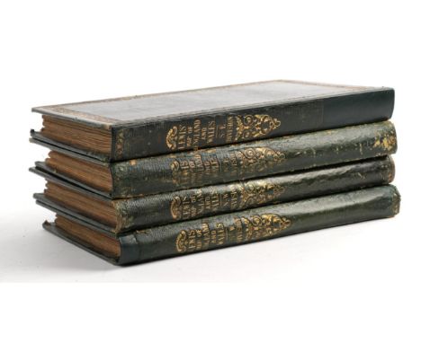
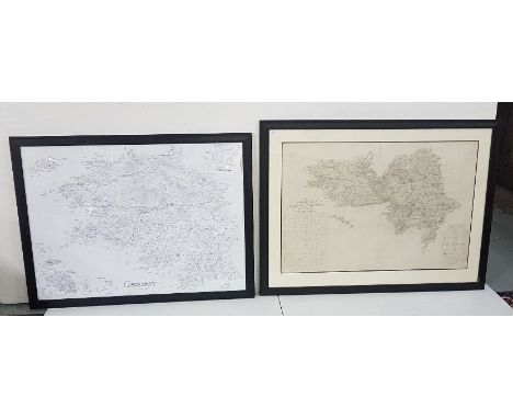
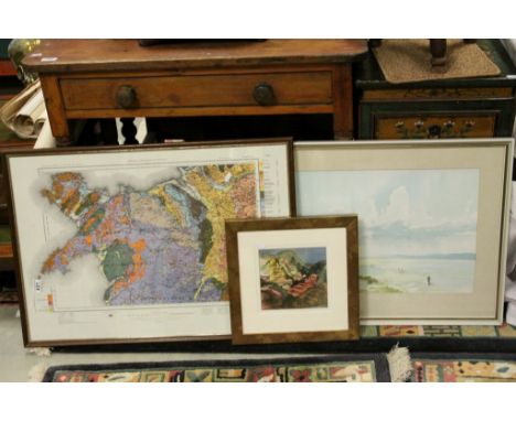
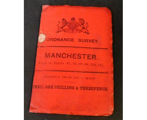
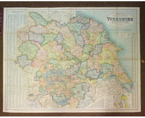
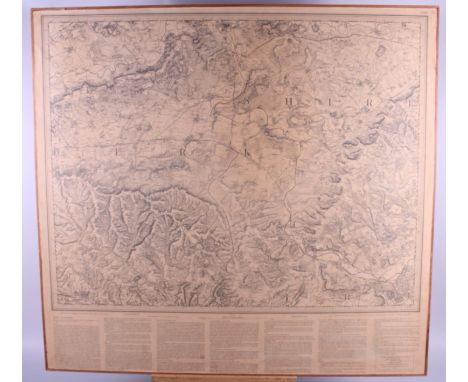
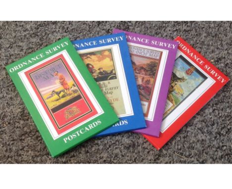
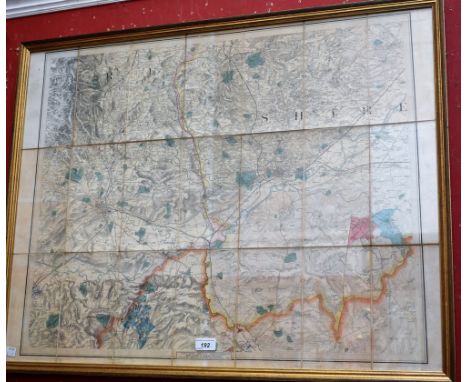
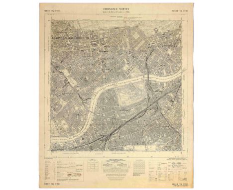
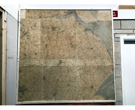
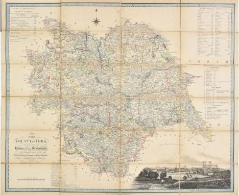
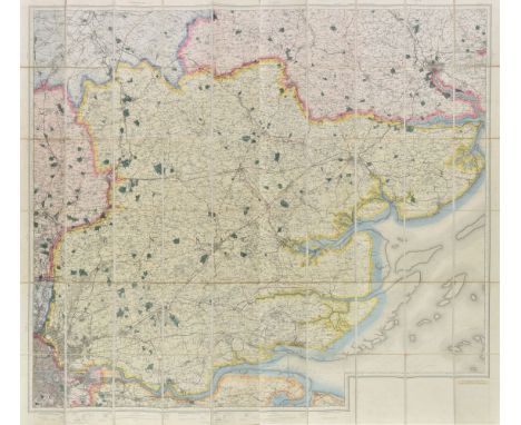
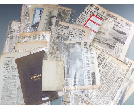
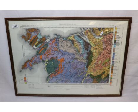
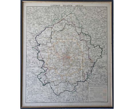
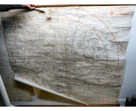
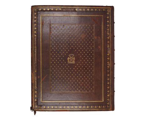
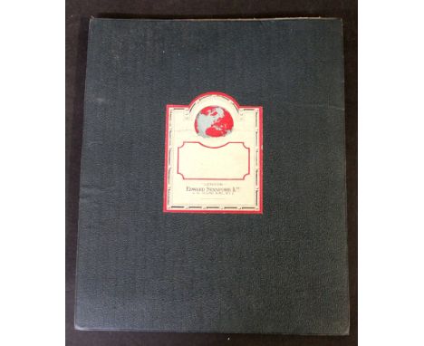
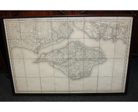
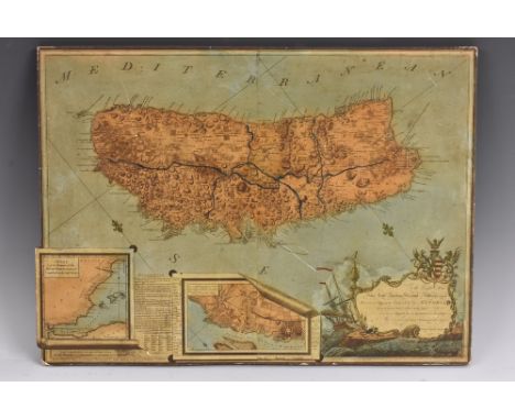
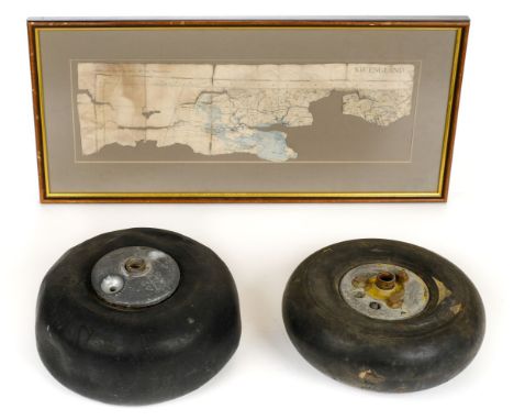
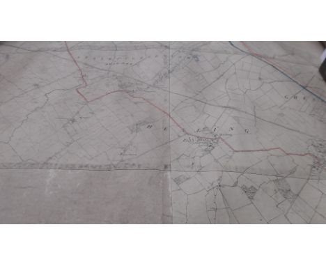
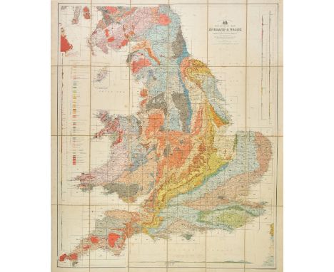
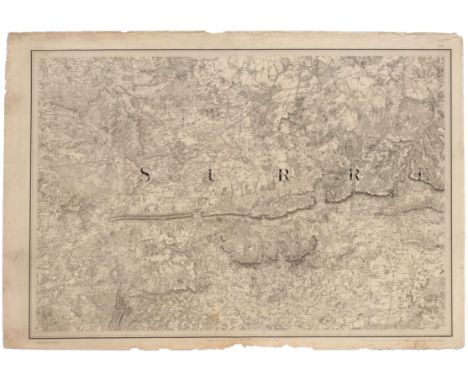
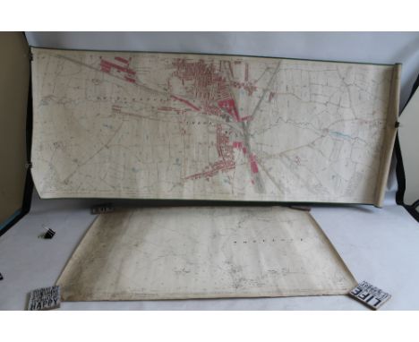
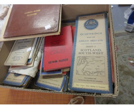
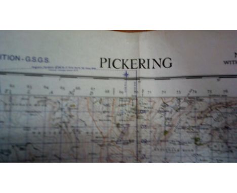
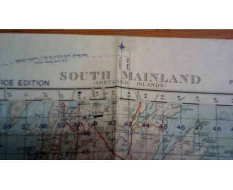
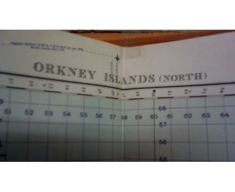
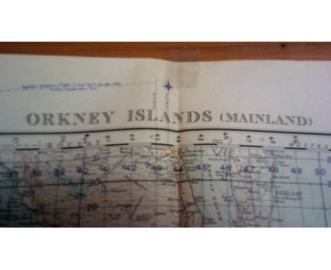
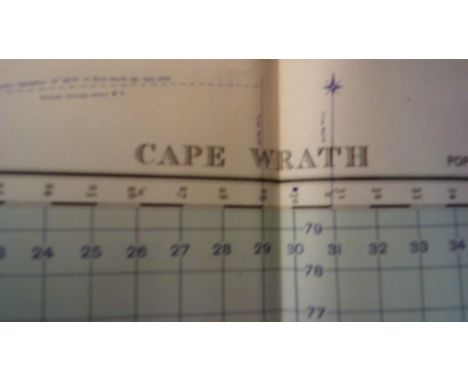
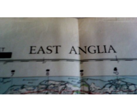
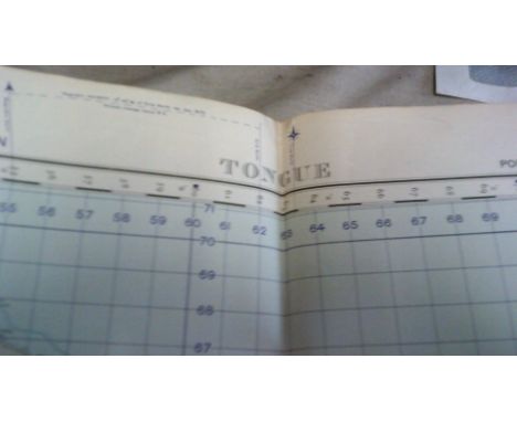
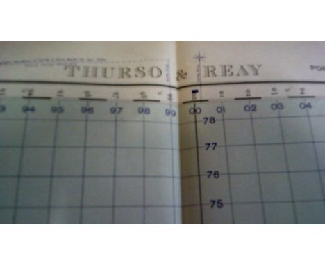
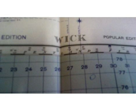
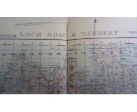
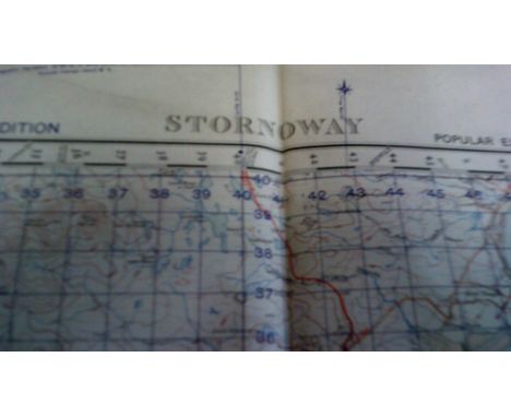
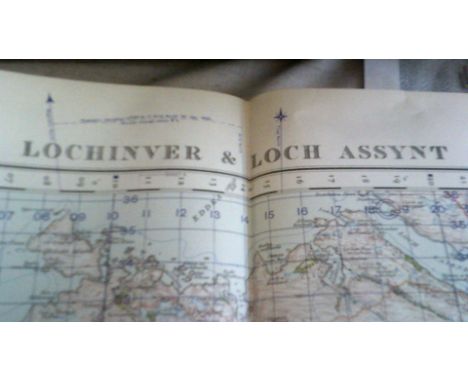
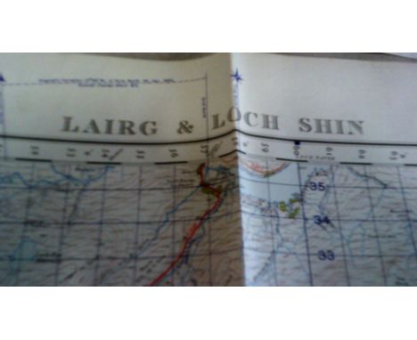
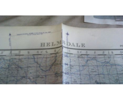
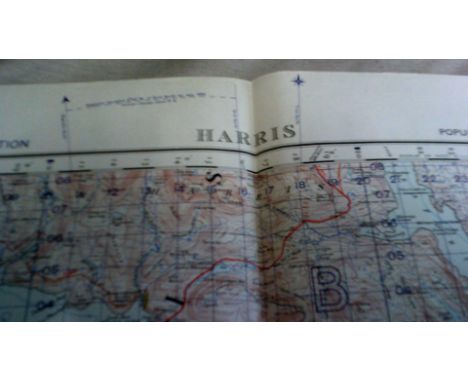
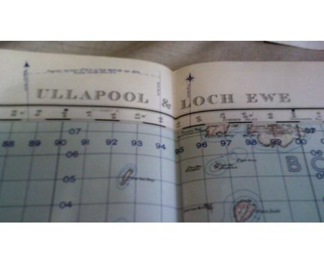
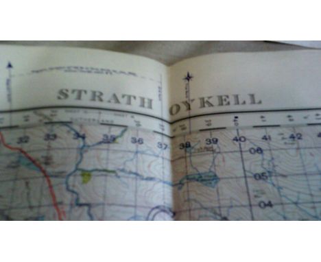
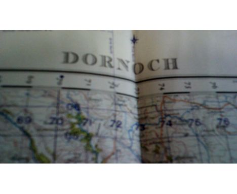
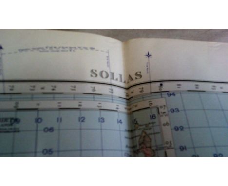
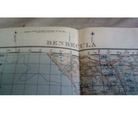
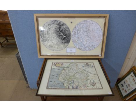
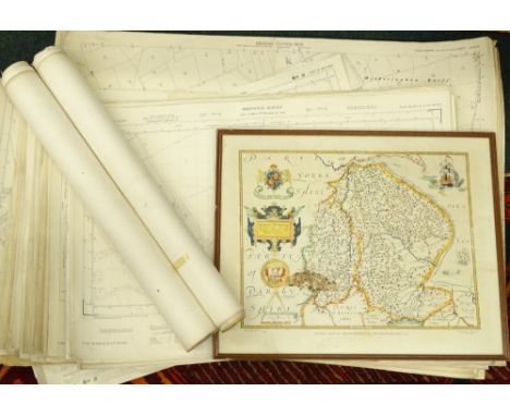
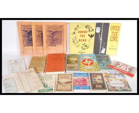
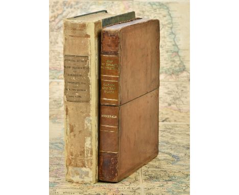
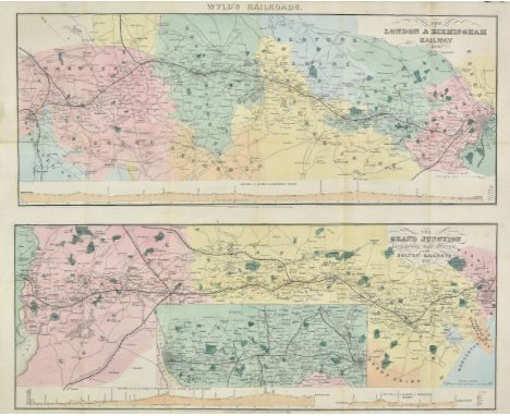
Folding Maps. A mixed collection of approximately 35 folding maps, mostly 19th century, including Wyld (James), The London & Birmingham Railway, 1839 [and] The Grand Junction Liverpool Manchester and Bolton Railways, 1839, two engraved maps with contemporary hand colouring on one sheet, old folds, 405 x 480 , bound in contemporary cloth boards with printed label to upper board, together with Cary (John), Cary's reduction of his larger map of England and Wales with part of Scotland..., 1805, engraved map with contemporary outline colouring, sectionalised and laid on linen, small holes where folds cross, slight staining and dust soiling, 765 x 625 mm contained in a contemporary card slipcase with circular printed label to upper board, with Hall (Sidney), A Travelling Atlas of the English Counties..., circa 1860, forty-five (of forty-six, lacking Worcestershire) engraved maps with contemporary outline colouring, including four folding (Ireland, Scotland, Wales and Yorkshire), gutta percha perished, contents shaken and loose, near contemporary ownership signature to front pastedown, contemporary limp morocco gilt 'envelope style' binding, heavily worn and frayed, 8vo, plus Cary (John), Cary's New Map of England and Wales, with part of Scotland, 1794, very large map with contemporary outline colouring cut into eighty-one sheets, some repaired tears, dust soiling and staining, contained in a contemporary marbled card slipcase, worn and frayed, and Bartholomew (John), The Imperial map of England and Wales according to the Ordnance Survey..., published A, Fullarton, circa 1865, seventeen lithographic sheets, each sectionalised and laid on linen, together with a folding index sheet, contained in a later book box, with another twenty-four folding maps including examples by Ordnance Survey, Stanford, W H Smith, Wyld and Bartholomew, plus Baker (James), [The celebrated Road from London to Holyhead, 1799], lacking title page, allegorical stipple engraved frontispiece, six uncoloured aquatint plates and five engraved pictorial strip road maps with contemporary hand colouring, slight spotting,near contemporary boards, slim 8vo, with another five road and topographical books, including examples by Cooke, Cary and Paterson, mostly 8vo, various condition (Qty: approx. 35)

Loading...Loading...
  • 1765 item(s)
    /page

Recently Viewed Lots