Bacon's Excelsior Commerival & Industrial Map of Lancashire, Showing Railways, Roads, Elevations & Distances, Also Local Government Divisions Including Parishes with Acreages, Revised according to the latest Ordnance Survey, index to margin, twenty-four fold hand-coloured copperplate engraving laid on linen, maroon buckram boards, marbled endpapers, 8vo
We found 1765 price guide item(s) matching your search
There are 1765 lots that match your search criteria. Subscribe now to get instant access to the full price guide service.
Click here to subscribe- List
- Grid
-
1765 item(s)/page
Cartography/Maps - Geographic Map of the Southern Hijaz Quadrangle Kingdom of Saudi Arabia, by Glen F. Brown and Roy O. Jackson, Department of the Interior United States Geological Survey, U.S. Geological Survey, Washington D.C. 1958, manilla sleeve stamped and signed R.M.G. Varley; U.S. Department of Commerce, Civil Aeronautics Administrations, Aircraft Powerplant Handbook, January 1949, C.A.A. Technical Manual No. 107; Air Ministry Meteorological Office, Geophysical Memoirs No. 105, Upper Winds Over the World, Part III; monthly Station News-Sheet for Royal Air Force, Yatesbury - September 1956-February 1957 (6); another manual; Koninklijk Magnetisch en Meteorologisch Observatorium te Batavia [...] No. 14 [...] Regenval In Nederlandsch-Indie (Rainfall In The Netherlands Indies), 1925, Volume II only; other Dutch maps of Colonial Java, various; Bali; Carte Taride de l'Algérie, card sleeve; board folio of astronomical/celestial charts, U.S.S.R. Academy of Sciences, Institute of Theoretical Astronomy, USSR 1957; Ordnance Survey, coloured, including Dundee & St. Andrews [...] War Revision 1940 (2); Pratts Road Atlas of England and Wales 1929; a set of ten facsimile plates of John Weale's Cornish Pumping Engine, sleeve folders and binder; typed notes on scientific equipment; further ephemera (qty)
Yorkshire. Ordnance Survey maps, scale of 6 inches to one mile, sixteen sheets, first edition 1853 - 1857, sixteen double page uncoloured engraved maps, each laid on later linen, slight dust soiling, later endpapers with library book plate and ink stamps, one ink stamp to margin of first map, each map approximately 640 mm x 940 mm, marbled endpapers, modern quarter morocco gilt, a little worn, bumped at extremities, large folio, together with approximately 250 20th century ordnance survey maps, mostly of the I inch series The complete survey for Yorkshire in the large size first described comprises of 311 sheets and is sometime referred to as'The Record Map'. (approx.250)
A Victorian album containing: a photograph of the Royal Albert Bridge, Saltash, another of The Sound & Staddon Heights, both 17.5 x 12.5cm, various greetings cards, postcards, scraps, etc, all stuck-down, a cartes de visite album, (a/f), with sixteen small photographs and an Ordnance Survey map of Saltash and Environs, pt sheets XXXVIII and CXVII, 1907/1919 Edition, 102cm2.
GOOD SELECTION OF EARLY TWENTIETH CENTURY AND LATER EPHEMERA to include; two 1920's family and friends AUTOGRAPH ALBUMS with some illustrations, 'Air Raid Precautions Hand Book No. 3.', 'Medical Treatment of Gas Casualties, 1937', Our Blitz Magazine etc...., RAILWAYS RELATED to include; LNER 'Colour Light Signalling' booklet 1938, LMS MAP AND LIST OF STATIONS circa 1930's, various ROAD MAPS BY BARTHOLOMEWS AND ORDNANCE SURVEY and a SMALL SELECTION OF CHILDREN'S COMICS to include; Wizard 1959 x 3, Sparky 1965, Hotspur 1959 etc.....
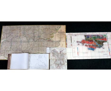
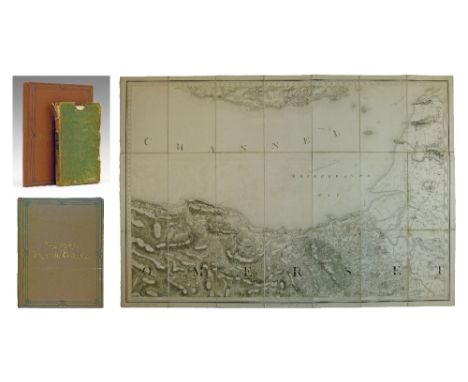
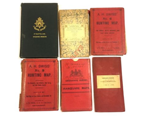
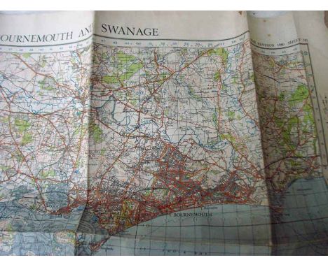
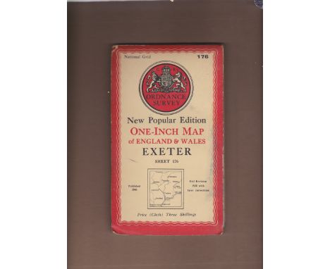
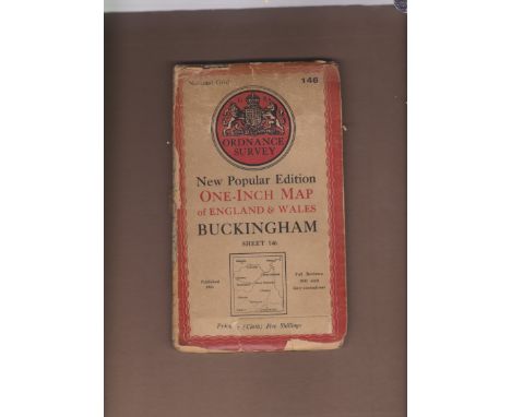
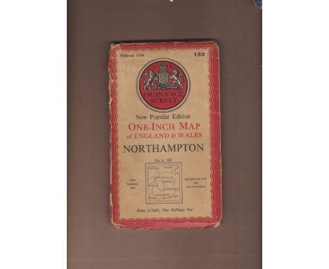
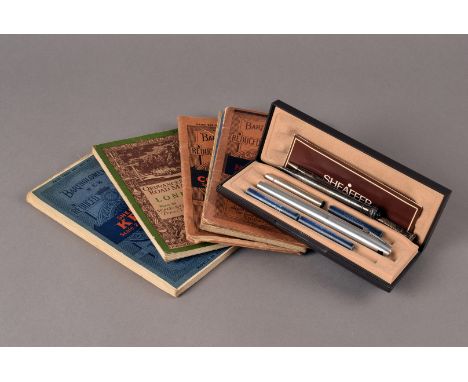
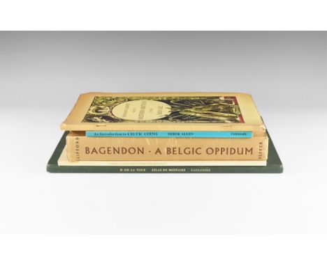
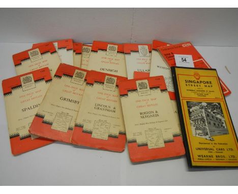
Published 1961, 1962, 1968, 1978 and 1981 AD. Titles comprising: Clifford, Elsie M., Bagendon: A Belgic Oppidum a Record of the Excavations 1954-56, Heffer, Cambridge, 1961; hardback, publisher's brown cloth with dustwrapper, with Ian Stewart bookplate. Ordnance Survey, Map of Southern Britain in the Iron Age, OS, Chessington, 1962; paperback, publisher's pictorial card. de la Tour, Henri. Atlas de Monnais Gauloises, Spink, London, 1968; hardback, publisher's green cloth. Allen, Derek, An Introduction to Celtic Coins, BM, London, 1978; paperback, publisher's pictorial card. Cunliffe, Barry, Coinage and Society in Britain and Gaul, CBA Research Report 38, CBA, London, 1981; paperback, publisher pictorial card. 2.92 kg total, largest 34 x 25cm. (13 1/2 x 10"). Ex libris Lord Stewartby (Ian Stewart"). [5, No Reserve] Generally good to fine condition; first, second and last with some marks to bindings.
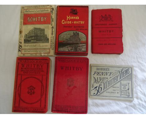
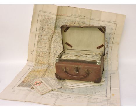
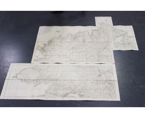
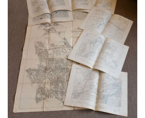
19th Century English School - Photozincograph - An "Ordnance Survey Map of Canterbury", (second edition, 1898) 25.25ins x 30ins, published at The Ordnance Survey Office, Southampton, and with Board of Agriculture, Ordnance Survey embossed stamp to upper right, with some coloured detail, framed and glazed
Quantity of Ordnance Survey maps including 19th century Harrow, later edition of Manchester, etc. together with reproduction London and c/d and a prospect of London and Westminster after the original and a folio including Stanford's Library Map of London, loose sheets, further reproduction maps, reproduction of Charles Booth Descriptive Map of London Poverty 1889, architectural drawing of St Paul's Cathedral, etc.
Greenwood (Christopher) Map of the County of York… by Order of The Honourable Board of Ordnance… Surveyed in the Years 1815, 1816 & 1817… 1817, Leeds, Robinson, Son & Holdsworth, Wakefield, J. Hurst & C. Greenwood. First edition of this engraved large-scale map in early and unfaded wash colour, printed on nine folding linen-backed folio sheets. Engraved by S.J. Neele, total dimensions approx. 1860 x 2160mm. Large calligraphic title and Dedication, altitudes of principal mountains upper left, key below. Some surface soiling, linen at verso browned and spotted. A must-have survey for the map collector and an impressive production, combining accuracy, historical interest and decorative appeal.
PRINTS AND PLANS, YORKSHIRE INTEREST Dunning (R.) South View of Ripon Minster, 1813, Ripon, hand-coloured aquatint engraved by R. & D. Havell, green mount, wrapped in cellophane; Walmsley (Thomas)? Castle Acre Priory, Yorkshire, 1811, London, J. Deeley, hand coloured aquatint, unexamined out of thin Hogarth frame, Parker Gallery label verso, image 270 x 375mm; Couse (John) ...View of Wentworth House in Yorkshire, [c.1760], vignette etching on laid paper, sheet 225 x 400mm, folds; [Anon.] High Harrogate, c.1830s, hand-coloured lithograph on india paper, sheet 280 x 380mm; A Visit to Harrogate, [c.1880s], one folio sheet mounted, hand-coloured vignette wood engravings [with:] [Anon.] Plan of the Intended Navigable Canal from Leeds to Selby... 1774, hand-coloured folding engraving for the Gentleman's Magazine, with inset antiquities; Fowler (Charles) Plan of several Turnpike Roads between Leeds and Doncaster..., 1822, Leeds, hand-coloured engraving by Neele & Son, vertical fold crease; large folio chromolithograph Plan of Leeds [c.1880]; Dewsbury (New Borough), Proposed Parliamentary Boundary 1868, Ordnance Survey zincograph map with companion letterpress sheet; also three sheets of Yorkshire town plans by R. Creighton; a Plan of Ports and Harbours on the East Coast of England pub. Fullarton, Edinburgh; and two illustrations of Yorkshire public buildings from The Building News c.1890 (15).
Stanford (Edward, Publishers) [Tees Mouth to Whitby], large lithographic map with some outline colour added by hand, finger-soiled, a little browned, linen-backed and folding into scuffed maroon cloth boards with publisher's label to upper cover, inscribed in ink. [With:] Two Ordnance Survey maps, Kielder, 1925 [&] Ryedale District of North Yorkshire, 1856, Kielder printed on 'War Substitute Paper'; both sectionalized, linen-backed, and folding into marbled paper covers but lacking cases/covers. Time-stained, no significant loss (3).
A collection of 18th century and later engravings and prints, including many Shropshire related, including nine engraved VIEWS OF PORKINGTON, dated 1835, and a selection of engravings, with a large 1882 Ordnance Survey map of South Shropshire showing Leighton and coloured lands around Belswardy Hall, 35 of 36 sections, 200cm x 200cm approx(Qty)
MAP - The Grand Southern Tour of England including a principal part of the East, West and Inland Counties patronised by His Most Gracious Majesty, King George the IV - January 1st, 1821, Second Edition, linen-backed, cased, together with other related items to include, a bound set thirty - mainly linen-backed - Ordnance Survey Maps covering the Bedfordshire area, other items etc
DEVON & CORNWALL: CAREW-POLE PAPERS, 1839-1939: a collection of documents and publications relating to the Carew-Pole family, comprising rental books for Mr Carew, 1839 & 1866 (Cornwall), folios, 92pp & 52pp respectively, marbled/parchment wrappers: manuscript indenture for the Pole-Carew lands, large folio approx 100pp, manuscript on parchment in folding leather covers: sale catalogues for the Shute estate, sold by Robert Love Auctioneers 1929 (folio, 3 vols in 1, key plan and 8 others folding): various maps, including 4 Ordnance Survey maps of lands in Antony and south of Saltash, map of Wearde (Cornwall) dated 1939, Testament of Appropriation Re: Sir Frederick Arundell Delapole 1926, etc. (Quantity)
Maps/Books - William Mudge - Section 20 of his Ordnance Survey study, a folding map covering part of the Somerset coast with Bridgwater Bay, dated 1809, 62cm x 93m together with The Ports Of The Bristol Channel: Progress Commerce 1893, being a directory of merchants and traders, published by The London Printing & Engraving Co, gilt brown cloth binding (2) Condition: Please see images- please TELEPHONE department if you require further information
Various books, to include an auction catalogue for the sale of the Norton Disney Estate, a copy of Nouveau Riches to Nouveau Pauvers, written by Ian Macalpine-Leny, signed by the author, ordnance survey map of the road between Lincoln and Grimsby and a book on the parish memorials relating to Norton Disney, published 1893
Various books, to include an auction catalogue for the sale of the Norton Disney estate, a copy of Nouveau Riches to Nouveau Pauvers, written by Ian Macalpine-Leny, signed by the author, ordnance survey map of the road between Lincoln and Grimsby and a book on the parish memorials relating to Norton Disney, published 1893
Ordnance Survey (publisher) - 'Ordnance Survey of the Isle of Wight and Part of Hampshire', folding engraved map in 8 sections and backed onto linen, approx 61.5cm x 92cm, together with two further maps published by the Ordnance Survey, all contained within a single red straight grain morocco slipcase.

-
1765 item(s)/page