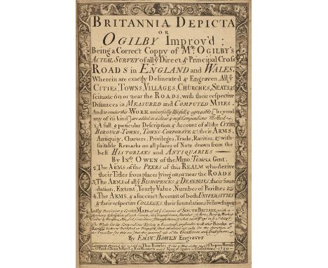
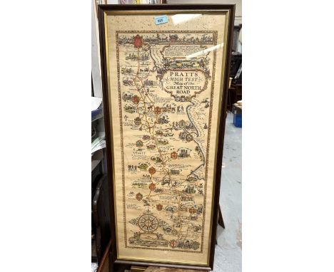
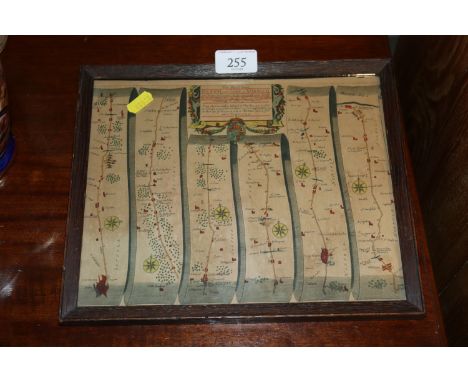
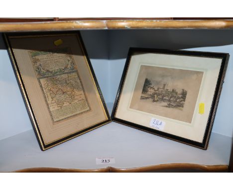
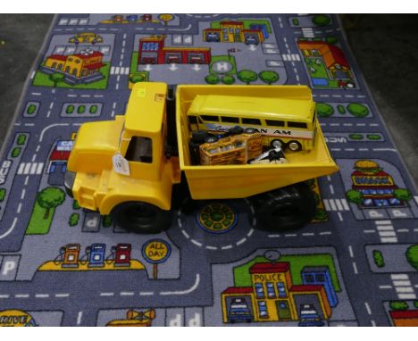
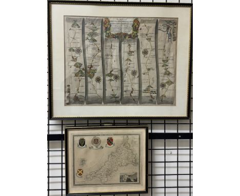
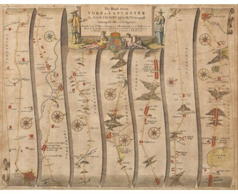
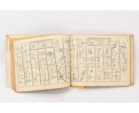
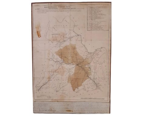
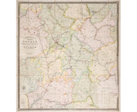
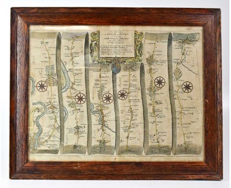
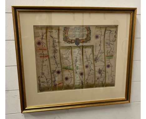
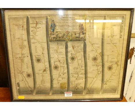
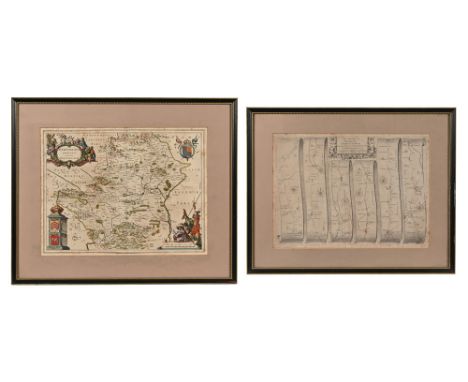
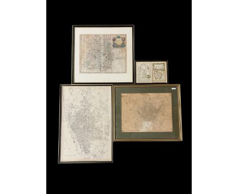
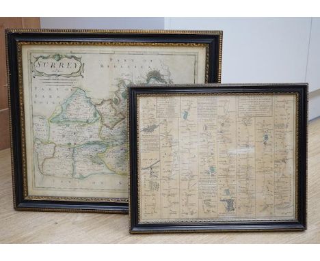
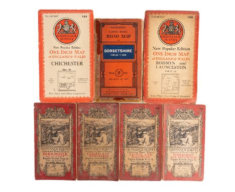
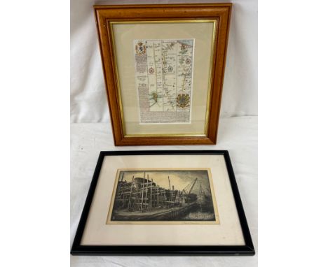
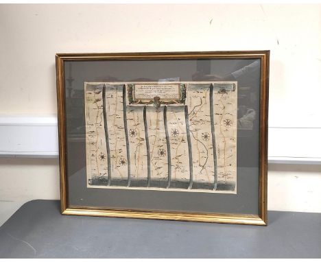
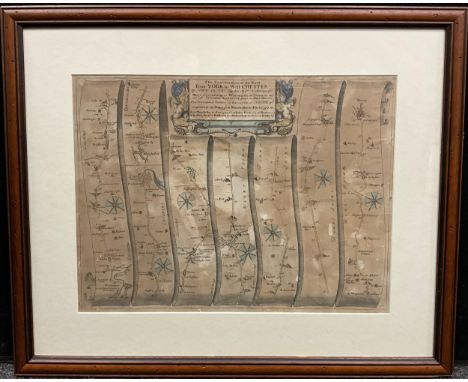
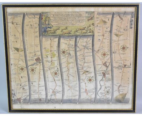
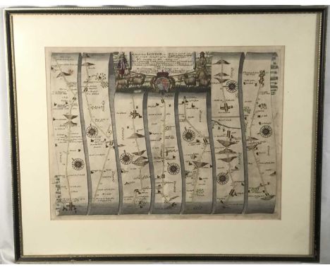
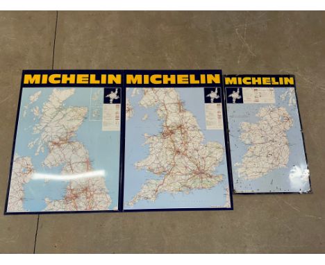
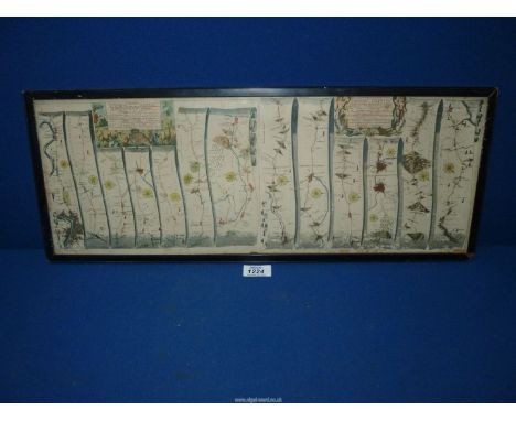
British Maps. A collection of Fifteen County and Road maps, 17th-19th century, including Bill (John). Merionythshire [1626], hand-coloured engraved map, near-contemporary manuscript number above the map, some staining, slight text show through, 85 x 120 mm, English text on verso, together with Simmons (Matthew). Wiltshire [1643], uncoloured engraved map with a triangulated mileage table, toned overall, 105 x 105 mm, with Blaeu (Johannes). Buckinghamiensis Comitatus Anglis Buckingham Shire, Amsterdam: circa 1645, engraved map with contemporary outline colouring, slight toning, trimmed with slight loss to the left-hand vertical margin, extended and replaced in facsimile, 420 x 270 mm, German text on verso, plus Ogilby (John). The Road from London to Dover in co: Canty..., circa 1680, uncoloured engraved strip road map, trimmed with slight loss to the left-hand vertical margin, toned overall, some 'bleaching' to the central fold, 325 x 450 mm, and Blome (Richard). A General Mapp of Dorsetshire..., [1671], hand-coloured engraved map, slight toning and mount staining, 255 x 315 mm, with Luffman (John). Shropshire, circa 1803, uncoloured engraved circular map with descriptive text below the image, overall size 145 x 75 mm, plus another eight county and road maps, including examples by or after Senex, Owen & Bowen, Saxton/Kip, Ramble, Langley, Rocque, Morden (small format) and Bartholomew, various sizes and conditionQTY: (15)

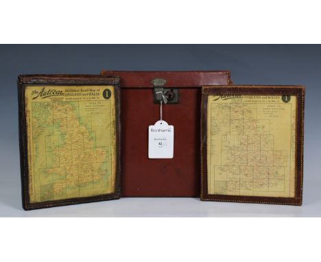
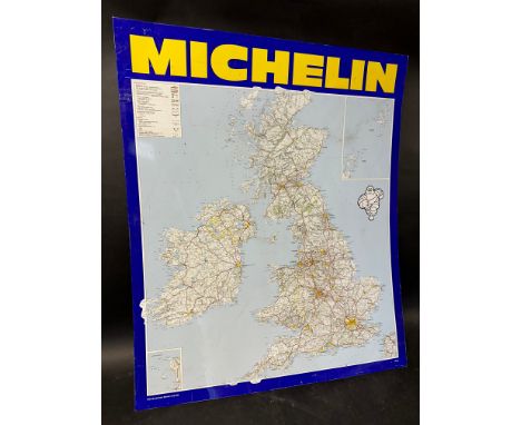
![John Bartholomew: 'New "Half-Inch" Cycling Road Maps of England & Wales', London, G.W. Bacon & Co., [nd], c.1910, 25](https://cdn.globalauctionplatform.com/ea7f42a7-ac07-4b3b-be9b-b20d00f95c01/94e6d434-3caa-47cd-ac54-b22d011aeca1/468x382.jpg)
![British Maps. A collection of Fifteen County and Road maps, 17th-19th century, including Bill (John). Merionythshire [1626],](https://cdn.globalauctionplatform.com/c42456d3-ac35-4d47-bf9e-b21100a1d9eb/10612afc-f534-41ae-86c1-b21b00ae1fb1/468x382.jpg)
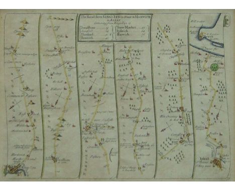
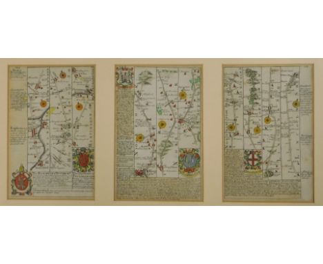
![Ogilby (John). The Road from London to Dover in Co. Canty..., [1698], hand-coloured engraved strip road map, 325 x 445 mm, to](https://cdn.globalauctionplatform.com/c42456d3-ac35-4d47-bf9e-b21100a1d9eb/f5b0480e-9cb2-4c36-a9cd-b21b00ae3e37/468x382.jpg)