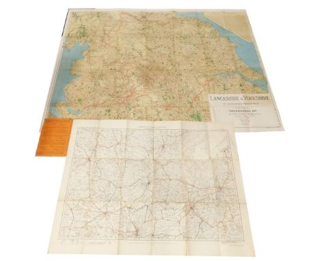
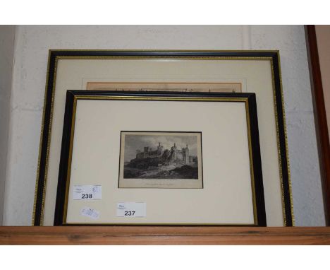
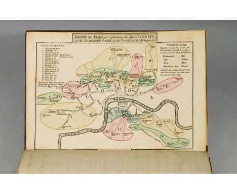
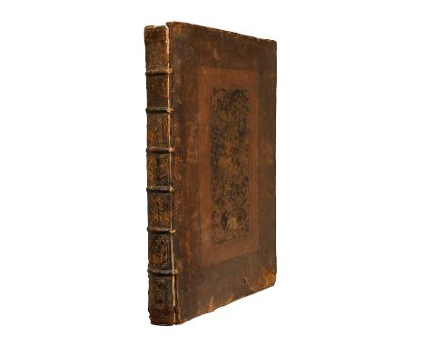
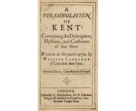
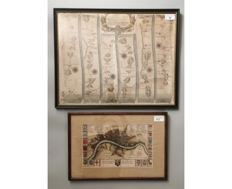
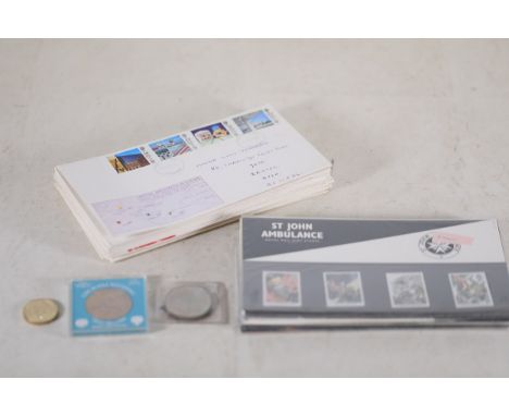
Lambarde (William). A Perambulation of Kent: conteining the Description, Hystorie, and Customes of that Shire. Written in the yeere 1570 by William Lambarde of Lincolns Inne Gent., 2 parts in one, 3rd edition, corrected and enlarged, London: printed by R[ichard]. Hodgkinsonne, for D[aniel]. Pakeman, [1656], [16], 656, [24], 70 pp., title to second part with publication date to imprint, some light toning, endpapers with hinges repaired, front pastedown with label of Reader, Bookseller, Stationer & Binder of Cranbrook, contemporary sheep, neatly rebacked, board edges with some light wear, 8vo, together with:Fisher (Thomas). The Kentish Traveller's Companion: in a descriptive view of the Towns, Villages, remarkable Buildings, and Antiquities, situated on or near the road from London to Margate, Dover, and Canterbury, 4th edition, Canterbury: printed and sold by Simmons, Kirkby, and Jones, 1794, folding table frontispiece (torn with slight loss), 3 engraved strip road maps, some light dust-soiling and few marks, contemporary calf, rebacked, boards rubbed, 12mo, plus Cox (Thomas). Magna Britannia... Kent (portion only), London: printed by Eliz. Nutt; and sold by M. Nutt and J. Morphew, 1720, [2], 1071-1270 pp., later title, lacking map, armorial bookplate of Sir Thomas Neame to upper pastedown, endpapers with later brown cloth hinges, 20th-century half brown sheep over late 19th-century marbled boards, slim 4toQTY: (3)NOTE:1. ESTC R40445; Wing L216.


![India.- Siege of Delhi.- Anonymous (active 1850s) Map of Delhi and the Neighbourhood, inscribed 'For General B. V. [?]Darving](https://cdn.globalauctionplatform.com/8c3b0654-f508-46cc-a759-b29101151ad5/9aa64503-bc6e-4278-83e7-b29101180085/468x382.jpg)


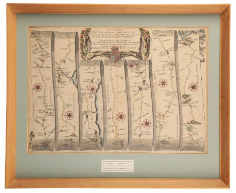
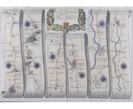
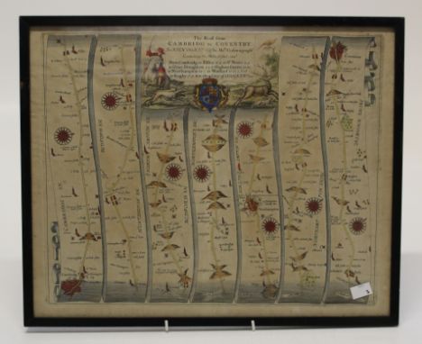
![[MAP]. SOMERSET & DEVON Ogilby, John (Scottish, 1600-1676). 'The Road from Bristol to Exeter', engraved ribbon map, hand](https://cdn.globalauctionplatform.com/5e610135-63b4-4651-87c4-b2480116f215/5c74e6cd-cf24-4f03-b077-b28b011472bd/468x382.jpg)
![[MAPS]. SOMERSET & DEVON Gardner, Thomas (English, 1690-1769). 'Continuation of the Road from London to Barnstable [Barn](https://cdn.globalauctionplatform.com/5e610135-63b4-4651-87c4-b2480116f215/be651009-a0d4-4b58-9c2e-b28b01154530/468x382.jpg)
![[MAP]. SOMERSET & DEVON Ogilby, John (Scottish, 1600-1676). 'The Road from London to Barstable [Barnstaple]' (Bridgwater](https://cdn.globalauctionplatform.com/5e610135-63b4-4651-87c4-b2480116f215/61c0b772-a7c9-4f26-856e-b28b01147346/468x382.jpg)