Refine your search
Filtered by:
- Sale Section
- List
- Grid
A subscription to the Price Guide is required to view results for auctions ten days or older. Click here for more information
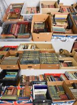

A Large Quantity of Miscellaneous Books, including: Great Exhibition of the Works of Industry of all
A Large Quantity of Miscellaneous Books, including: Great Exhibition of the Works of Industry of all Nations, 1851, Official Descriptive and Illus...
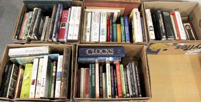
A Good Collection of Reference Books on Clocks, Antiques and Stately Homes, including: Sanders (
A Good Collection of Reference Books on Clocks, Antiques and Stately Homes, including: Sanders (William Bliss), Half-Timbered Houses and Carved Oa...
A Quantity of Books, including: Austin, Harwood and Pyne's, Lancashire Illustrated, 1831.
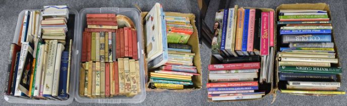
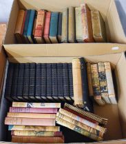
Five Boxes of Books, including Enid Blyton, other children's books, antique reference, cookery,
Five Boxes of Books, including Enid Blyton, other children's books, antique reference, cookery, etc.
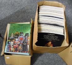
Sotheby's, Christie's and Other Auction Catalogues, from circa 1980's - 90's comprising toys,
Sotheby's, Christie's and Other Auction Catalogues, from circa 1980's - 90's comprising toys, automota, dolls etc (2 boxes - approx 50)
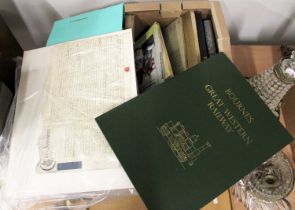
Bourne (John C.), The History and Description of the Great Western Railway ..., David & Charles 21st
Bourne (John C.), The History and Description of the Great Western Railway ..., David & Charles 21st Birthday edition, 1981, numbered limited edit...
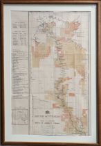
Australia - Trancontinental Railway. South Australia, Plan of Country North of Herrgott Springs.
Australia - Trancontinental Railway. South Australia, Plan of Country North of Herrgott Springs. Adelaide: Surveyor General's Office [1887], litho...
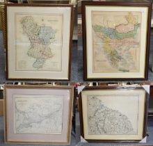
G & J, Map of North East Coast of Yorkshire, from Durham to Scarborough, framed and glazed with
G & J, Map of North East Coast of Yorkshire, from Durham to Scarborough, framed and glazed with six others, UK and Canada (7)
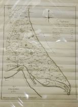
Tuke (J.), Map of Holderness. Large engraved map of East Yorkshire from Kilham to the Humber
Tuke (J.), Map of Holderness. Large engraved map of East Yorkshire from Kilham to the Humber Estuary, distance table dated 1786, sheet 757mm x 536...