Filtered by:
- Sale Section
- List
- Grid
A subscription to the Price Guide is required to view results for auctions ten days or older. Click here for more information
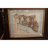

The Tower at St Catherines 1754, hand coloured map of River Thames for Stowes Survey, framed and glazed
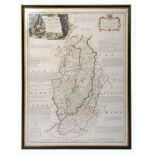
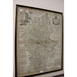
18th-century map of Nottinghamshire by Emanuel Bowen (c.1694-1767), hand-coloured copper engraving on laid/chain-lined paper. Decorative cartouch...
'The Euphrates and the Tigris', antique 18th-century map, Haywood/Bowen after D'Anville. Copper engraving on laid/chain-lined paper with hand-colo...
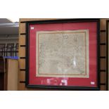
John Speed (1552-1629), Map of Nottingham. Copper engraving on laid/chain-lined paper, hand-coloured, framed and glazed to recto and verso. 'The C...
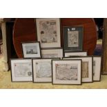
MAPS: A collection of eight county maps by Thomas Moule, 19th-century steel engravings, hand-coloured: Derbyshire, Devonshire, Leicestershire, Cum...
Antique map of Irleand by Gerardus Mercator: 'Irlandiae Regnum'. Hand-coloured copper engraving on laid/chain-lined paper. 1595 or later. Vertical...
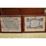
Antique 18th-century map of Stafford, "Divided into its Hundreds", published by Carington Bowles.
Antique 18th-century map of Stafford, "Divided into its Hundreds", published by Carington Bowles. Undated. Copper engraving on laid/chain-lined p...