Filtered by:
- Item Type
5 items
- List
- Grid
A subscription to the Price Guide is required to view results for auctions ten days or older. Click here for more information
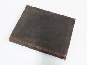

Lot 306
Rand, McNally & Co's 'Library Atlas of the World', c. 1894, with engravings and coloured maps, 37
306Rand, McNally & Co's 'Library Atlas of the World', c. 1894, with engravings and coloured maps, 37
Rand, McNally & Co's 'Library Atlas of the World', c. 1894, with engravings and coloured maps, 37 x 29cm
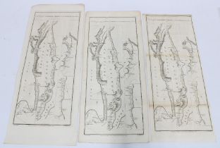
Lot 325
18th century double side road maps to include The Road From Inveraray to Tarbert and Campleton
18th century double side road maps to include The Road From Inveraray to Tarbert and Campleton continued with Stirling verso, unframed, 52 x 23cm ...
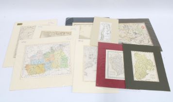
Lot 326
A quantity of cad mounted coloured maps to include Road from Tarbet Inn to Crienlarach, The County
A quantity of cad mounted coloured maps to include Road from Tarbet Inn to Crienlarach, The County of Peebles, Plymouth Sound, The Borders, Scotla...
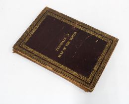
Lot 327
Henry Teesdale - "Teesdale's Map of the World - A New Chart of the World on Mercator's Projection,
Henry Teesdale - "Teesdale's Map of the World - A New Chart of the World on Mercator's Projection, with the Tracks of the Most Celebrated and Rece...
Taylor & Skinner Survey and Maps of Scotland of 1776, boxed, 55 x 22cm