28
William Collins & Sons Cape Colony, Natal &c This full colour map first was published in the Collins

Description
William Collins & Sons Cape Colony, Natal &c
William Collins & Sons
Glasgow
ca. 1880
Fine
Visit AntiquarianAuctions.com for further details and to bid
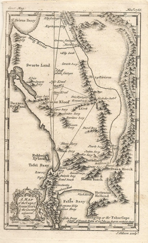
This full colour map first was published in the Collins Library Atlas in 1875/6; the map was updated and this example was published ca. 1880. It depicts the area of southern Africa that was controlled by the British; it also shows the 'provinces' (magisterial districts) of the colony at the time. Boer-controlled Orange Free State and Transvaal are included in the map and Zululand is shown prior to its incorporation into Natal after the infamous Anglo-Zulu Wars.
The map is interesting in that is also shows Great Namaqualand and the Kalahari Desert before control by Germany and Great Britain respectively and they became German South West Africa (now Namibia) and Bechuanalan (now Botswana)
The map also shows the the development of the railway network in 1810: Beaufort Weest, Cradock and Queenstown having been reached in 1880.
William Collins commenced his publication business in 1819 in Glasgow and the business now continues as part of HarpeCollins.
This attractive map is in fine condition
William Collins & Sons
Glasgow
ca. 1880
Fine
Visit AntiquarianAuctions.com for further details and to bid
Auction Details
Shipping
T&Cs & Important Info
Ask seller a question
William Collins & Sons Cape Colony, Natal &c
William Collins & Sons
Glasgow
ca. 1880
Fine
Visit AntiquarianAuctions.com for further details and to bid
This full colour map first was published in the Collins Library Atlas in 1875/6; the map was updated and this example was published ca. 1880. It depicts the area of southern Africa that was controlled by the British; it also shows the 'provinces' (magisterial districts) of the colony at the time. Boer-controlled Orange Free State and Transvaal are included in the map and Zululand is shown prior to its incorporation into Natal after the infamous Anglo-Zulu Wars.
The map is interesting in that is also shows Great Namaqualand and the Kalahari Desert before control by Germany and Great Britain respectively and they became German South West Africa (now Namibia) and Bechuanalan (now Botswana)
The map also shows the the development of the railway network in 1810: Beaufort Weest, Cradock and Queenstown having been reached in 1880.
William Collins commenced his publication business in 1819 in Glasgow and the business now continues as part of HarpeCollins.
This attractive map is in fine condition
William Collins & Sons
Glasgow
ca. 1880
Fine
Visit AntiquarianAuctions.com for further details and to bid
Online Rare Books, Maps & Prints and Photography Auction
Sale Date(s)
Venue Address
Online only auction
AntiquarianAuctions.com
-
-
United Kingdom
General delivery information available from the auctioneer
Registration on AntiquarianAuctions.com is free of charge.
As a successful bidder you will receive an invoice from the seller after the auction. The seller will only invoice the final selling price. We do not charge a buyer’s premium and no VAT applies.
The buyer pays for shipping and insurance costs which can be requested from the seller before the end of the sale.
Important Information
This is an online only auction. Please visit AntiquarianAuctions.com for further information about a lot and to bid
Terms & Conditions
There is no buyer’s premium charged on AntiquarianAuctions.com
AntiquarianAuctions.com is an online rare book auction website. All lots are listed by recognised booksellers who have been vetted before being accepted to sell on the site. This allows buyers to bid with confidence and ensures that lots are accurately described.
Bidding will begin on 26 August at 5.30 pm (UK time) and ends on 1 September at 5.30 pm (UK time). Please follow the countdown on AntiquarianAuctions.com.
Please visit AntiquarianAuctions.com for further information about a lot and to bid