
Filtered by:
- Sale Section
- Elenco
- Grid
A subscription to the Price Guide is required to view results for auctions ten days or older. Click here for more information
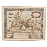

John Speede - Mappe of the Roman Empire
John Speede - Mappe of the Roman Empire, 17th century hand coloured engraved map, 39.5 x 50cm, unframedCondition is basically good, some browning ...
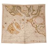
Gerard Van Keulen: 18th century hand coloured engraved map 'De Reede van Harwich, Handford-Water en Wood Bridge Haaven met alle de Banken...' 59 x...
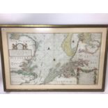
Joannes Van Keulen: late 17th century hand coloured engraved map, 'The New Sea Map of the South Part of the North-Sea extending from the Texel to ...
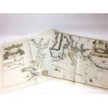
Joannus Van Keulen: hand coloured engraved map: Nieuwe Paskaert van d'Oost Kust van Engelandt van Dover tot Dunwich' mid 18th century, engraved ch...
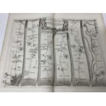
London to Harwich road map and other local interest maps and engravings ...[more]
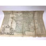
Herman Moll: 18th century hand coloured engraved map 'A New and Exact Map of France divided into all its Provinces and Acquisitions according to t...
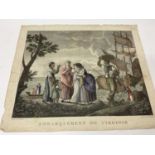
Collection of 18th/19th century engravings, unframed ...[more]