Filtered by:
- Category
5 items
- List
- Grid
A subscription to the Price Guide is required to view results for auctions ten days or older. Click here for more information
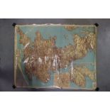

Philips' Motor Road Map of Great Britain, dated 1948 (laminated), 91cms x 117cms
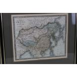
Map of China by James Wyld from the Atlas of the World, pl. 38 24 x 29cm
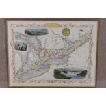
Map of Western Canada by John Tallis, drawn and engraved by J. Rapkin, C.1857
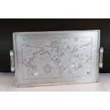
A vintage aluminium serving tray decorated with a map of the world.
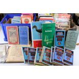
Lot 869
A large collection of maps contained within two boxes to include Ordnance Survey, Bartholomews and
A large collection of maps contained within two boxes to include Ordnance Survey, Bartholomews and cloth back examples.