Filtered by:
- Category,
- Item Type
- List
- Grid
A subscription to the Price Guide is required to view results for auctions ten days or older. Click here for more information
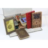

Folder of mainly Early 20th century Folded Cloth Maps including The Environs of London and Reynold's
Folder of mainly Early 20th century Folded Cloth Maps including The Environs of London and Reynold's Cyclist Map of the Environs of London plus Or...
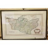
Antique Robert Morden Hand Coloured Engraving Map of Kent, 63cms x 35cms, framed and glazed
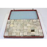
19th century French ' Etudes Geographiques ' Wooden Block Puzzle forming Five different Maps,
19th century French ' Etudes Geographiques ' Wooden Block Puzzle forming Five different Maps, contained within a red covered wooden box, 47cms x 2...
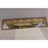
After Wenceslas Hollar A long view of London from Bankside 118 x 24cm
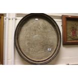
An early 19th century oval needlework panel depicting a map of England and Wales 49 x 43cm
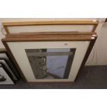
Gordon Cullen (1914-1994) Festival of Britain, View of Seaside Section from River43 x 70cm, Unicorn Restaurant 41 x 59cm, Sea & Seaships Pavillion...