Filtered by:
- Category,
- Item Type
- List
- Grid
A subscription to the Price Guide is required to view results for auctions ten days or older. Click here for more information
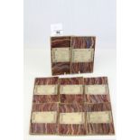

Group of eight vintage 1 inch Ordnance Survey folding maps by Edward Stanford London
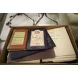
Tray of Vintage Folded Ordnance Survey Maps including Red One-Inch Maps of Great Britain, Contour
Tray of Vintage Folded Ordnance Survey Maps including Red One-Inch Maps of Great Britain, Contour Road Maps, Coloured Edition 1 Inch to 1 Mile plu...
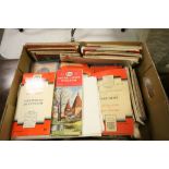
Box of Various Vintage Folded Ordnance Survey Maps including Contoured Road Maps, 1920's edition
Box of Various Vintage Folded Ordnance Survey Maps including Contoured Road Maps, 1920's edition of London, Quantity of 1903 Edition 1:2500 Scale,...
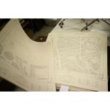
Approximately 130 Ordnance Survey Maps 1:1250 Scale covering Central and East London
1830 - 1860 framed coloured map of Durham engraved by Schmollinger, text on verso
1830 - 1860 Framed coloured map of Northumberland engraved by Schmollinger text on verso