Filtered by:
- Category
4 items
- List
- Grid
A subscription to the Price Guide is required to view results for auctions ten days or older. Click here for more information
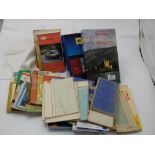

Lot 91
Group of 1950’s etc Irish Ordnance Survey & Bartholomew Maps – Donegal, Cork, Waterford, Tipperary
91Group of 1950’s etc Irish Ordnance Survey & Bartholomew Maps – Donegal, Cork, Waterford, Tipperary
Group of 1950’s etc Irish Ordnance Survey & Bartholomew Maps – Donegal, Cork, Waterford, Tipperary etc, & a Shell Guide to Scotland, 1977 & AA Bo...
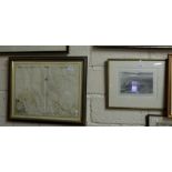
Lot 643
18thC Map of Cardigan Bay by Capt Green Collins 18” x 23”, 18thC Map of “Penbrok” sculpted by
18thC Map of Cardigan Bay by Capt Green Collins 18” x 23”, 18thC Map of “Penbrok” sculpted by Wilhelmis 11” x 14”, a smaller St Davids Map & an En...
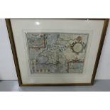
Lot 646
18thC Map of “Penbrokshyre” (Pembrokeshire) – Penbroke and St. David’s “as they were taken by John
18thC Map of “Penbrokshyre” (Pembrokeshire) – Penbroke and St. David’s “as they were taken by John Speed” (with Table of all the Townes at the rea...
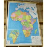
2 large scrolling school maps – Africa & Asia