Filtered by:
- Category,
- Item Type
- List
- Grid
A subscription to the Price Guide is required to view results for auctions ten days or older. Click here for more information
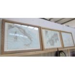

3 framed and glazed maps - Italy, Nagasaki and France.
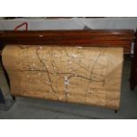
A large Edwardian map of Sleaford.
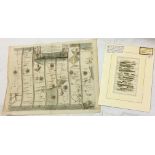
A 17th century coloured engraving road map of London to Flambrugh by John Ogilby, and a 19th century coloured engraving road map of Rochdale to Br...
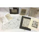
6 various engravings of maps of Lincolnshire from 18th/19th century - i) Robert Morden (coloured),
6 various engravings of maps of Lincolnshire from 18th/19th century - i) Robert Morden (coloured), ii) Reuben Ramble (coloured), iii) London to Bo...
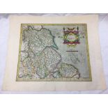
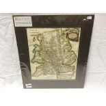
Part of Michael Drayton's poly-olbion consisting of the engraved map of North-West Wales with the
Part of Michael Drayton's poly-olbion consisting of the engraved map of North-West Wales with the counties of Merionethshire, Carnarvanshire and t...
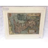
A 16th century hand-coloured engraved map of the British Isles orientated to the West by Dutchman
A 16th century hand-coloured engraved map of the British Isles orientated to the West by Dutchman Abraham Ortelius featuring two large strapwork c...
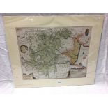
A 17th century coloured engraving map of the Fens described in cartouche as 'A general plot and
A 17th century coloured engraving map of the Fens described in cartouche as 'A general plot and description of the Fennes and surrounded grounds i...
A 17th century coloured engraving of a map of the East coast of England by German-Flemish cartographer Gerardus Mercator 'Eboracum, Lincolnia, Der...
An 18th century coloured engraving by Dutch cartographer and engraver Herman Moll of Ogilby's
An 18th century coloured engraving by Dutch cartographer and engraver Herman Moll of Ogilby's travellers guide of direct and principal roads in En...
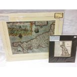
A 17th century coloured engraving map of Cornwall by William Kip/ William Hole/ Saxton/ Norden,
A 17th century coloured engraving map of Cornwall by William Kip/ William Hole/ Saxton/ Norden, and an 18th century coloured engraving map of Corn...
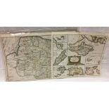
2 18th century coloured engravings of maps by Robert Morden consisting of Norfolk and 'The Smaller
2 18th century coloured engravings of maps by Robert Morden consisting of Norfolk and 'The Smaller Islands in the British Ocean' featuring the Isl...
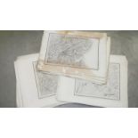
A collection of 47 engravings of ordnance survey maps front early 19th century (mostly 1830/40's).
A collection of 47 engravings of ordnance survey maps front early 19th century (mostly 1830/40's). Principally from Wales and published by Colone...

An 1856 edition 'Pictorial History' of the Prussian war 1854-1856 with plans, maps & engravings. W.
An 1856 edition 'Pictorial History' of the Prussian war 1854-1856 with plans, maps & engravings. W. R. Chambers ...[more]