Refine your search
Filtered by:
- Category,
- Item Type
- List
- Grid
A subscription to the Price Guide is required to view results for auctions ten days or older. Click here for more information
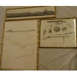

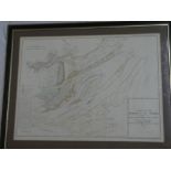
An 18th Century black & white map and panoramic engraving "A Sketch by Compass of the Coast of the
An 18th Century black & white map and panoramic engraving "A Sketch by Compass of the Coast of the Promontory of Chan-Tung with the track of the s...
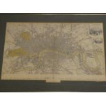
An 1836 coloured map of London, pub. Baldwin & Cradock, framed and glazed ...[more]
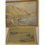
A**Taylor - watercolourCornish coastal scene, signed, 14" x 18" and one other Isles of Scilly watercolour by Ann Dorrien Smith (2)
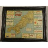
An old touring map of the Cornish Riviera with adverts, framed and glazed
A 19th Century chart of the estuary of the Thames by LDB Cordon, 1852, framed and glazed
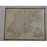
A 17th Century uncoloured nautical chart showing the coast between Kent/Suffolk and Holland after
A 17th Century uncoloured nautical chart showing the coast between Kent/Suffolk and Holland after Captain G Collins, framed and glazed
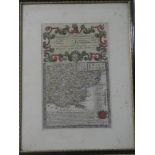
An 18th Century hand-coloured map of Essex "The Roads from Chelmsford to St Edmunds Bury, etc" after Bowen, framed and glazed