Filtered by:
- Category,
- Item Type
- List
- Grid
A subscription to the Price Guide is required to view results for auctions ten days or older. Click here for more information
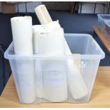

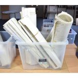
A quantity of OS maps c.1950s-60s, principally 1/25000 together with a number of Charles Close
A quantity of OS maps c.1950s-60s, principally 1/25000 together with a number of Charles Close publications on OS maps
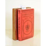
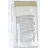
A set of four 19th century Ordnance Survey maps of York, Ripon, Harrogate and surroundings, being
A set of four 19th century Ordnance Survey maps of York, Ripon, Harrogate and surroundings, being sheets 52, 53, 62, 63 of Yorkshire, dissected an...
GOAD plans of UK towns A quantity of folded maps, principally 1960s-70s, some with MSS annotations, loose in folders, alphabetically arranged by t...
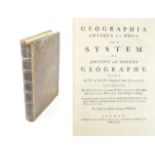
Lenglet du Fresnoy, Pierre Nicolas Geographia Antiqua et Nova. John and Paul Knapton, 1742. 4to,
Lenglet du Fresnoy, Pierre Nicolas Geographia Antiqua et Nova. John and Paul Knapton, 1742. 4to, full calf; 32 (of 33) double-page maps.. Binding...
Yorkshire Mercator, Gerhard Eboracum, Lincolnia, Derbia, Staffordia, Notinghamia, Lecestria,
Yorkshire Mercator, Gerhard Eboracum, Lincolnia, Derbia, Staffordia, Notinghamia, Lecestria, Rutlandia, et Norfolcia, c.1595, French text on verso...
Ordnance Survey Maps of Leeds Quantity of maps of Leeds, c.1909-11, principally 1/500 and 1/1056
Ordnance Survey Maps of Leeds Quantity of maps of Leeds, c.1909-11, principally 1/500 and 1/1056 scale, some hand-coloured