Refine your search
Filtered by:
- Category
- List
- Grid
A subscription to the Price Guide is required to view results for auctions ten days or older. Click here for more information


A collection of various maps, mostly framed
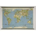
Two large coloured wall maps, plus a quantity of Ordinance Survey Maps. (qty.)
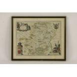
Ducatus Eboracensis Pars Occidentalis, The West Riding of Yorkshire, G Bleau, 17th century hand
Ducatus Eboracensis Pars Occidentalis, The West Riding of Yorkshire, G Bleau, 17th century hand coloured engraved map of Yorkshire, with ornamenta...
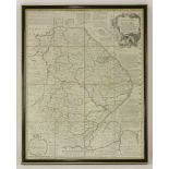
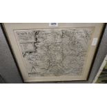
Emanuel Bowen,Lincolnshire divided into its wapontakes,18th century, hand coloured map,72.5 x 53cm
Emanuel Bowen, Lincolnshire divided into its wapontakes, 18th century, hand coloured map, 72.5 x 53cm
A 1610 map of Essex, by John Norden and John Speed, coloured,40 x 52.5cm
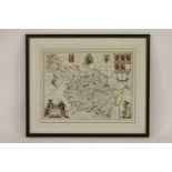
Warwici Comitatus a Cor Nauris Olim Inhabitatus Saxton (Christopher and Kip William), 17th century
Warwici Comitatus a Cor Nauris Olim Inhabitatus Saxton (Christopher and Kip William), 17th century engraved map with simple wash colour, framed an...
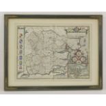
Hertfordia Comitatus Hertfordshire, 17th century hand coloured engraved map of Hertfordshire, with
Hertfordia Comitatus Hertfordshire, 17th century hand coloured engraved map of Hertfordshire, with elaborate title cartouche, encompassed by putti...