Refine your search
Filtered by:
- Category,
- Creator / Brand
4 items
- List
- Grid
This auctioneer has chosen to not publish their results. Please contact them directly for any enquiries.
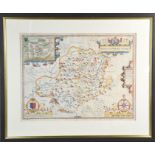

An 18th century hand coloured map of Montgomeryshire, described by Christopher Saxon, and published by John Speed, 39 by 56cm.
Lot 224
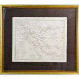
A 19th century map of Persia, published by Baldwin & Craddock, engraved by C Walker, 31 by 39cm.
A 19th century map of Persia, published by Baldwin & Craddock, engraved by C Walker, 31 by 39cm. ...[more]
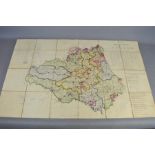
A 19th century ordnance survey map of the Country of Durham
![A 17th century hand coloured map of "Denbigh Comitatus Pars Olim Ordovicum [Denbighshire] by](https://portal-images.azureedge.net/auctions-2021/the-st10068/images/1d1b06cd-4d79-4a99-8ff5-acae00b03d64.jpg?w=155&h=155)
Lot 258
A 17th century hand coloured map of "Denbigh Comitatus Pars Olim Ordovicum [Denbighshire] by
A 17th century hand coloured map of "Denbigh Comitatus Pars Olim Ordovicum [Denbighshire] by Christopher Saxton & William Kip dated 1607 31cm x 26...