Refine your search
Filtered by:
- Category,
- Item Type
5 items
- List
- Grid
A subscription to the Price Guide is required to view results for auctions ten days or older. Click here for more information

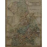
A hand coloured map of Cambridgeshire, framed and glazed. 19 x 24.5 cm.
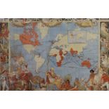
A print of a map of the British Territories in 1786, framed and glazed. 83.5 x 55 cm.
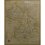
Two antique maps of Cambridgeshire and another of The Great Levell of The Fens, each framed and glazed. The largest 47.5 x 57 cm.
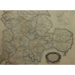
A Shires map, framed and glazed. 57.5 x 47.5 cm overall.
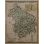
A Chapman and Hall 1830s map of Cambridgeshire, framed and glazed. 19 x 24 cm.