Filtered by:
- Primary Category,
- Category
- List
- Grid
A subscription to the Price Guide is required to view results for auctions ten days or older. Click here for more information
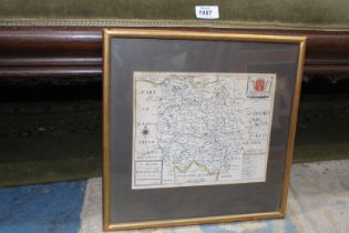

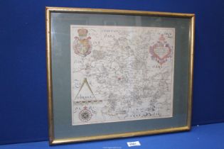
A 'Mapp of Ye County Hereford', printed for Richard Blome 1673 9 1/2'' x 7 7/8'', 13 1/2'' square framed.
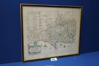
A 'General Mapp of Dorsetshire', printed for Richard Blome 1671, 12 1/4'' x 9'' approx, 15 1/4'' wide x 12 3/4'' framed.
Two maps - 'Herefordshire drawn from the Beft Authorities' engraved for the Universal magazine,
Two maps - 'Herefordshire drawn from the Beft Authorities' engraved for the Universal magazine, circa 1796, 8'' x 7 1/4'' plus a 'New Map of Heref...
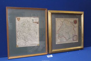
A Herefordshire Map by Robert Morden circa 1695,16 1/2'' x 14 1/8'', framed 21'' x 18 1/2''.
A Herefordshire Map by Robert Morden circa 1695,16 1/2'' x 14 1/8'', framed 21'' x 18 1/2''.
An early framed County Map of Worcester, Wigorniensis Comitatus Sabrine Fluminis Amaeitate,
An early framed County Map of Worcester, Wigorniensis Comitatus Sabrine Fluminis Amaeitate, 12 3/4'' x 11 1/4'', framed 18 1/2'' x 15 1/2''.
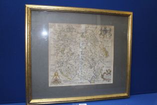
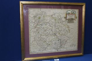
A Herefordshire Map 'Frugiferi Ac Ameni Herefordiae Comitatus' Saxton/Hole, circa 1637, 11 1/2'' x 12 3/4'', framed 21'' x 18''.
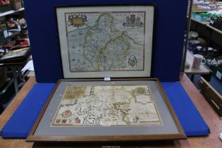
Two Maps, Westmorland - Speed's, framed 24'' x 19'' and British Museum copy of Saxton's, framed 27'' x 21 1/2''.
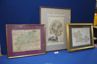
Three engraved maps; Herefordshire - Laneley 1817, Surrey by Roper/Cole 1808 and Berkshire Dugdales circa 1850, 14'' x 11'' approx.
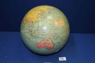
A Phillips Challenge Globe, circa 1950's/60's, no stand.
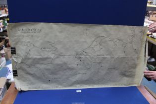
A map of Western Europe showing the route of '72 field Coy.R.E', 6th June 1944 to 8th May 1945.
A map of Western Europe showing the route of '72 field Coy.R.E', 6th June 1944 to 8th May 1945.
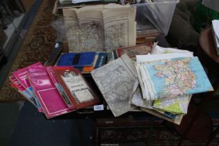
A large quantity of maps and Ordnance Survey maps for Guildford and Horsham, Bartholomew's maps,
A large quantity of maps and Ordnance Survey maps for Guildford and Horsham, Bartholomew's maps, etc.,