Refine your search
Filtered by:
- Category,
- Item Type
- List
- Grid
A subscription to the Price Guide is required to view results for auctions ten days or older. Click here for more information
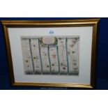

John Ogilby; "London to St.
John Ogilby; "London to St. David's commencing at Abingdon and extending to Monmouth", coloured engraved Road Map
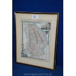
A framed Map of Lincolnshire engraved by James Bingley (1837 by Boule)

A quantity of Ordnance Survey Maps including The Peak District, Lands End, The English Lakes, etc.
A quantity of Ordnance Survey Maps including The Peak District, Lands End, The English Lakes, etc.
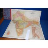
A Thacker's Railway Map of India
A Thacker's Railway Map of India
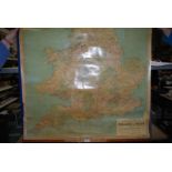
A vintage road Map of Britain
A vintage road Map of Britain
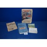
A Larby's New Series Handy Map of the Potteries, a Motoring and Hiking Map, Ration Book, etc
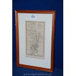
A framed and mounted Map of The River Wye from Monmouth to Ross, published by Wrighton & Webb,
A framed and mounted Map of The River Wye from Monmouth to Ross, published by Wrighton & Webb, Birmingham, 4 1/2'' x 8 1/4''.
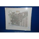
A Map of Farrington Ward (without) showing the legal districts of London between High Holborn and
A Map of Farrington Ward (without) showing the legal districts of London between High Holborn and The Thames circa 1720