Filtered by:
- Category,
- Item Type
- List
- Grid
A subscription to the Price Guide is required to view results for auctions ten days or older. Click here for more information


Ordnance Survey Atlases including England & Wales 1903, by J G Bartholomew, drawn, engraved, printed
Ordnance Survey Atlases including England & Wales 1903, by J G Bartholomew, drawn, engraved, printed and published at The Edinburgh Geographical I...
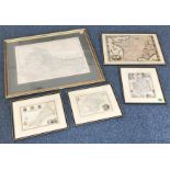
John Speed, double-sided hand coloured map of 'Wight Island' with 'An Alphabeticall Table of all the
John Speed, double-sided hand coloured map of 'Wight Island' with 'An Alphabeticall Table of all the Townes' verso, mounted, glazed and framed, ap...
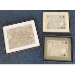
William Kip, hand coloured map of 'Essexia', together with two further hand coloured maps of
William Kip, hand coloured map of 'Essexia', together with two further hand coloured maps of Essex, mounted, glazed and framed (3)
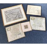
A large map of Northern India by Keith Johnston, mounted, glazed and framed, 48 x 61cm, together
A large map of Northern India by Keith Johnston, mounted, glazed and framed, 48 x 61cm, together with four hand-coloured maps of Devonshire, Franc...
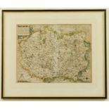
Wiltshire. ?Wiltoniae?, early 17th century engraved county map by William Kip, hand coloured,
Wiltshire. ?Wiltoniae?, early 17th century engraved county map by William Kip, hand coloured, first issue published in 1607, glazed and framed, 28...