Filtered by:
- Category
4 items
- List
- Grid
A subscription to the Price Guide is required to view results for auctions ten days or older. Click here for more information
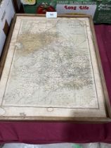

An early 20th Century boxed set of England and Wales map play bricks.
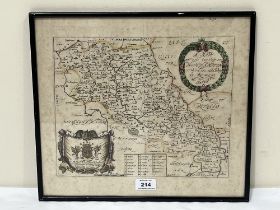
Lot 214
A 17th Century map of the County of Northampton With Its Hundreds by Richard Blome. 13" x 14½"
A 17th Century map of the County of Northampton With Its Hundreds by Richard Blome. 13" x 14½"
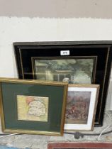
A small map of Salop by Badeslade and Toms with two prints.
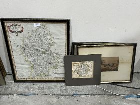
A map of Staffordshire by Robert Morden, a small map of Montgomeryshire and two prints.