
Filtered by:
- Category,
- Creator / Brand
- List
- Grid
This auctioneer has chosen to not publish their results. Please contact them directly for any enquiries.
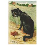

Louis Wain, unknown English publisher, The Ninth Life
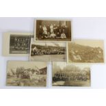
Royal Naval Air Service Tresco, early RP postcards of groups/events/teams. Inc 'Working Party RNAS
Royal Naval Air Service Tresco, early RP postcards of groups/events/teams. Inc 'Working Party RNAS Scillies'. Some cards by C J King, St Marys, Is...
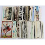
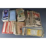
Scotland RP's with street scenes and villages inc Scottish Isles, some transport, comic and pull
Scotland RP's with street scenes and villages inc Scottish Isles, some transport, comic and pull outs noted. (approx 104)
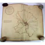
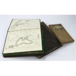
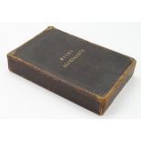
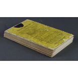
Ipswich interest. Hand coloured map, titled 'A Map of the Liberties of Ipswich in the County of
Ipswich interest. Hand coloured map, titled 'A Map of the Liberties of Ipswich in the County of Suffolk, as ascertained by a perambulation, perfor...
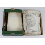
Maps & Prints. A collectiion of engraved maps & prints, circa 17th Century & later, including
Maps & Prints. A collectiion of engraved maps & prints, circa 17th Century & later, including Suffolk, Rutland interest ...[more]
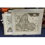
Maps. A collection of approximately seventy-five maps, including Bacon, Bartholomew, Ordnance, etc.
Maps. A collection of approximately seventy-five maps, including Bacon, Bartholomew, Ordnance, etc.
Maps. A collection of twelve mostly hand coloured maps, including London, Venezuela, Morocco,
Maps. A collection of twelve mostly hand coloured maps, including London, Venezuela, Morocco, Nigeria, etc., all pasted to backing boards, two fra...
Maps. A Ukrainian (?) hand coloured map of Russia & Turkey, circa 19th Century, sheets 5 - 8 only,
Maps. A Ukrainian (?) hand coloured map of Russia & Turkey, circa 19th Century, sheets 5 - 8 only, in slipcase, each sheet measures 72.5cm x 51cm ...
Mayr (G., publisher). Karte der Alpen aus G. Mayr's Atlas der Alpenlander, 1875 (Alps interest).
Mayr (G., publisher). Karte der Alpen aus G. Mayr's Atlas der Alpenlander, 1875 (Alps interest). Hand coloured engraved maps on eight sheets, cont...
Stanford (Edward, publisher). Hand coloured engraved folding map 'Map of Part of British and
Stanford (Edward, publisher). Hand coloured engraved folding map 'Map of Part of British and German East Africa including the British Protectorate...