
Filtered by:
- Lots with images only,
- Category,
- Item Type
4 items
- List
- Grid
A subscription to the Price Guide is required to view results for auctions ten days or older. Click here for more information
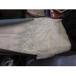

Quantity of various mid 20th Century maritime chartsThere are approximately 20 plus charts
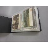
Brown postcard album containing over two hundred topographical cards of the British Isles
Lot 1577
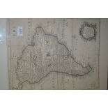
R.W. Seale, 18th Century map of 'South America with all the European Settlements', 18.5ins x 14.
1577R.W. Seale, 18th Century map of 'South America with all the European Settlements', 18.5ins x 14.
R.W. Seale, 18th Century map of 'South America with all the European Settlements', 18.5ins x 14.5ins, framed
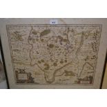
17th Century map of the Provinces of France, some history verso, 19ins x 22.5ins