Filtered by:
- Item Type
- List
- Grid
A subscription to the Price Guide is required to view results for auctions ten days or older. Click here for more information
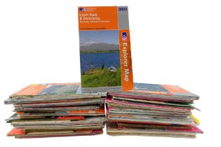

A quantity of Ordnance Survey hikers' maps
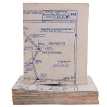
A group of 1960s BEA (British European Airways) routing charts and area navigation maps
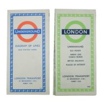
A London Transport 1962 folding map together with a "Diagram of Lines and Station Index"
Five early 20th Century cloth backed and other maps by John Bartholomew & Son of England, Ireland,
Five early 20th Century cloth backed and other maps by John Bartholomew & Son of England, Ireland, Scotland, etc, together with a quantity of Ordn...
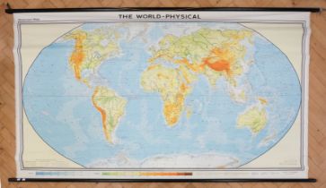
A large cloth backed educational world map by Georg Westermann, mounted on wooden poles, 249 cm x
A large cloth backed educational world map by Georg Westermann, mounted on wooden poles, 249 cm x 150 cm
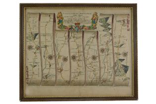
After John Ogilby (1600-1676) "The Road from London to Montgomery, North Wales", a watercolour-
After John Ogilby (1600-1676) "The Road from London to Montgomery, North Wales", a watercolour-tinted strip map "containing 158 miles from the sta...
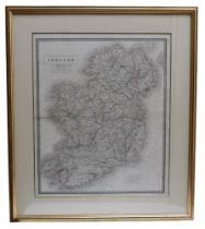
A late 19th / early 20th Century map of Ireland, pen-lined engraving, published by John Johnstone in
A late 19th / early 20th Century map of Ireland, pen-lined engraving, published by John Johnstone in The New Cabinet Atlas,1877, engraved by W & A...
A large cloth backed educational wall map of The British Isles by Georg Westerman, mounted on wooden
A large cloth backed educational wall map of The British Isles by Georg Westerman, mounted on wooden poles, 186 cm x 220 cm
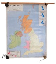
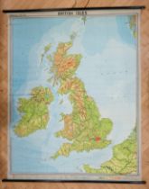
A double-sided educational wall map of The British Isles by Macmillan & Co Ltd, mounted on wooden
A double-sided educational wall map of The British Isles by Macmillan & Co Ltd, mounted on wooden poles, 92 cm x 126 cm