
Filtered by:
- Category,
- Item Type
- List
- Grid
A subscription to the Price Guide is required to view results for auctions ten days or older. Click here for more information
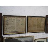

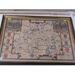
EARLY MAPS, two John Speed 17th Century maps "Cardiganshire & Breconshire" ...[more]
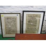
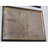
EARLY MAPS, two antique double sided maps of Europe
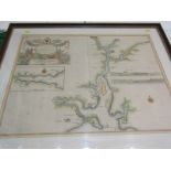
EARLY MAP, hand coloured early 18th Century engraved map "Falmouth & Estuary" by Captain Greenville Collins, 18" x 22" ...[more]
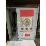
MINING, emergency telephone unit for CWMGWILI Drift Mine, West Wales
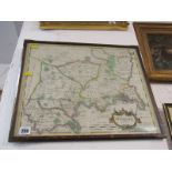
EARLY MAP, Robert Morden hand coloured map of "Middlesex" from early 1700's
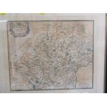
EARLY MAP, Robert Morden hand coloured map of "Hertfordshire" early 1700's
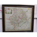
EARLY MAP, Robert Morden hand coloured map of "Monmouth", early 1700's
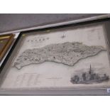
EARLY MAP, C & J Greenwood, hand coloured map of "Sussex", dated 1829 ...[more]
EARLY MAP, 17th Century John Speed hand coloured map of "Surrey", double glazed
EARLY MAP, John Speed mid 17th Century hand coloured map of "Dorset"