Refine your search
Lots with images only
Remove filter
Sale Section
Remove filter- PICTURES (1)
Estimate
Category
Remove filter- Maps (1)
Filtered by:
- Lots with images only,
- Sale Section,
- Category,
- Item Type
1 items
- List
- Grid
A subscription to the Price Guide is required to view results for auctions ten days or older. Click here for more information
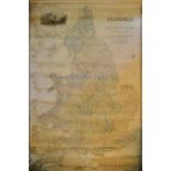

An Early 19th Century Map of England and Wales, showing the principal roads, railways, rivers and canals, drawn by R. Creighton and engraved by J....