Filtered by:
- Sale Section,
- Category
- List
- Grid
This auctioneer has chosen to not publish their results. Please contact them directly for any enquiries.
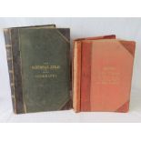

'The Times Atlas of the World', half leather bound, published 1920, 48 x 35cm, together with 'The National Atlas of General Geography', half leath...
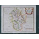
Map; Bedfordshire by Robert Morden, hand tinted throughout, 34 x 45cm, framed and glazed.
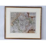
Map; Bedfordshire by Saxton/Kip 1st edition dated 1607, handtinted throughout, 28 x 35cm, framed and glazed. ...[more]
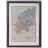
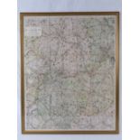
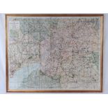
Map; Northamptonshire (South Sheet) 'Reduced from the ordnance survey, 47 x 31cm, framed and glazed.
Map; Northamptonshire (South Sheet) 'Reduced from the ordnance survey, 47 x 31cm, framed and glazed.
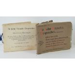
Books; 'Sir John Frenchs Despatches' printed by The Graphic, London, 'Official Records' and 'Second Series' includes maps and officers lists, a/f.
Swiss & Co's No5 Hunting Map, linen backed, printed by Gall & Inglis, 76cm x 96cm, framed and glazed. ...[more]