Filtered by:
- Category,
- Creator / Brand
6 items
- List
- Grid
A subscription to the Price Guide is required to view results for auctions ten days or older. Click here for more information
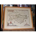

An early hand coloured map of the Isle of Wight by BLAEU - 38cm x 50cm
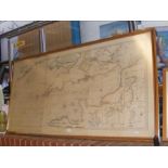
An antique hand coloured hydro-graphical survey of The British Channel - 78cm x 160cm
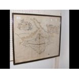
A hand coloured sea chart of The Isle of Wight and Solent, presented by Captain Greenvile
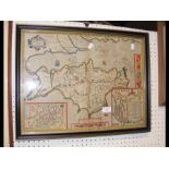
An antique hand coloured map by John Speed - Isle of Wight
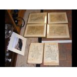
A selection of framed and glazed early antique maps, together with 'Atlas Anglicanus' and a picture of Brading Harbour CONDITION REPORT40 maps in...
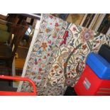
A decorative hand stitched Middle Eastern wall hanging