Filtered by:
- Category
9 items
- List
- Grid
A subscription to the Price Guide is required to view results for auctions ten days or older. Click here for more information
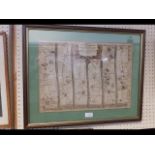

An early John Ogilby hand coloured map of the road from Gloucester to Montgomery
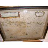
A 17th century hand coloured map of the South Coast of England and The Isle of Wight by Dutch cartographer - 42cm x 52cm
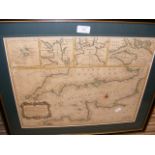
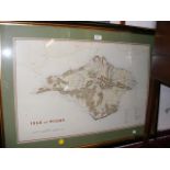
An antique hand coloured map of the English Channel including The Isle of Wight - 38cm x 48cm
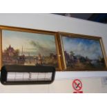
A reproduction coloured print of river scene and one other
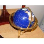
A gem set rotating World globe - 34cms high
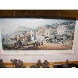
A Limited Edition coloured print after GRAY - Belgrave Road, Ventnor
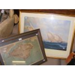
A Limited Edition sailing print by Couch, together with two Isle of Wight maps

An old map of Ryde together with a print of Portsmouth & Southsea ...[more]