Filtered by:
- Category,
- Item Type
- List
- Grid
A subscription to the Price Guide is required to view results for auctions ten days or older. Click here for more information
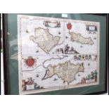

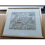
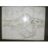
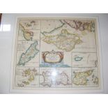
An antique hand coloured map of the Isle of Wight, Anglesey and the Isle of Man by PETRUM SCHENK - 1683 - 46cm x 55cm
NICHOLAS DE FER - 1646-1720 - an early hand coloured map of the Isle of Wight with scripture - 36cm x 30cm
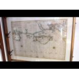
JEAN NICHOLAS BELIN - 1703-1772 - an early hand coloured chart of the Isle of Wight and South Coast - 58cm x 90cm
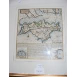
JOHN SPEED - 1611 - early hand coloured map of the Isle of Wight with details of Newport - 40cm x 52cm
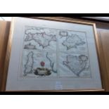
PHILIP LEA - 1700 - early hand coloured map of the British Islands - 38cm x 50cm
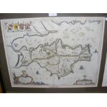
BLEAU - 1654 - an early hand coloured map of the Isle of Wight 'Vectis Insula' - 40cm x 52cm
BERNARDINI - early hand coloured map of the Isle of Wight, Anglesey and others - 48cm x 61cm
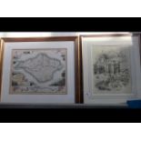
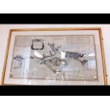
A map of the Isle of Wight by BRANNON, together with a picture of Osborne House
An Isle of Wight hand coloured map by TOMKINS - 35cm x 44cm
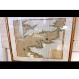
An early hand coloured chart of the Isle of Wight by JAN JANSSEN - 1596-1664 - from Sea Atlas dated 1652 - 62cm x 86cm
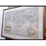
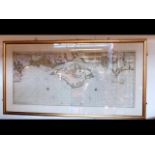
JOSEPH AVERY - an early hand coloured map and chart of the Isle of Wight and The British Channel from English Pilot by JOHN SELLER - 64cm x 114cm
THOMAS JEFFERY - 1794 - Chart of the British Channel - 52cm x 64cm
ROBERT MORDEN - 1695 - 'The Smaller Islands in the British Ocean', including the Isle of Wight - 38cm x 42cm
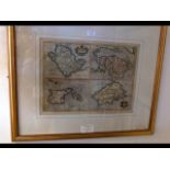
GERARD MERCATOR - 1512-1594 - early hand coloured maps of British Islands, including the Isle of Wight and Anglesey - 34cm x 46cm
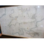
VAN KEULEN - early hand coloured sea chart of the British Channel and the Isle of Wight - 1736 - 52cm x 116cm
Early hand coloured chart of The Channel between England and France, including the Isle of Wight - by HALLEY - 68cm x 102cm
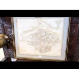
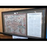
JOHN HAYWOOD - 1781 - a map of the Isle of Wight - 50cm x 60cm
A folio containing various early hand coloured maps, including JOHN SPEED - 1695 and others
A selection of antique Isle of Wight maps, including Moll and other
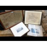
An antique map of Hampshire and the Isle of Wight, together with two Isle of Wight engravings
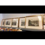
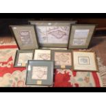
Six Brannon coloured prints of Isle of Wight views, framed and glazed
An antique style map of American east coast harbours together with four other pictures
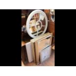
A five panel circular mirror, four framed and glazed Isle of Wight coastal views, mirror etc
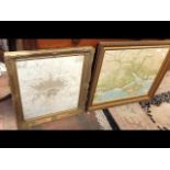
A vintage map of London, in gilt frame, together with a gilt framed ordinance survey map of the Isle of Wight
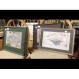
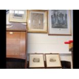
Six framed and glazed Isle of Wight maps
A print of Girolamo Savonarola, together with a collection of various antique maps of The Isle of Wight
WITHDRAWN - A John Albin antique map of the Isle of Wight together with three other pictures of Isl
WITHDRAWN - A John Albin antique map of the Isle of Wight together with three other pictures of Isle of Wight interest