Filtered by:
- Category,
- Item Type
- List
- Grid
A subscription to the Price Guide is required to view results for auctions ten days or older. Click here for more information
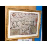

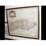
A 17th century hand coloured JOHN SPEED map of the Isle of Wight - glazed both sides with description of the Wight Island in English to the revers...
An early hand coloured map by JOHN OGILBY - "The Road from London to Newhaven" - 39cm x 47cm
An early hand coloured map of Sussex with scripture to the reverse - 43cm x 56cm
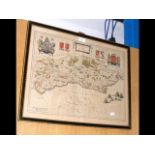
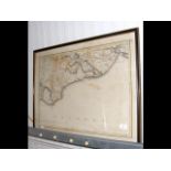
Antique map of the "County of Sussex" by Philip Overton - 60cm x 100cm
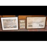
Antique map of Eastbourne and Hastings - 46cm x 70cm
ROBERT MORDEN - antique hand coloured map of Sussex - 36cm x 42cm
Antique map of the coastline of Sussex, together with two others
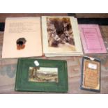
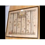
Old Isle of Wight map, together with Nelson and Sons book, etc.
Thomas Roscoe "Summer Tour of The Isle of Wight"
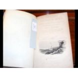
Francis Grose - "The Antiquities of England and Wales, including The Isle of Wight"
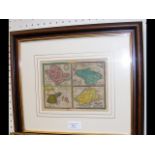
Small antique hand coloured map of The Smaller Islands, including Wight of Vectis
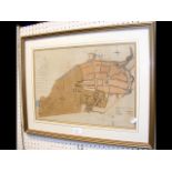
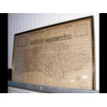
An early "Plan of the Town & Borough of Newport, in the Isle of Wight"
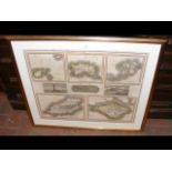
HEWITT - "Remote British Islands" - five maps, including the Isle of Wight - 1817 - framed as one